Discover Vexcel aerial imagery and elevation data
Very high resolution aerial imagery and elevation models—available through the UP42 platform.

Unmatched accuracy at high resolution
- Ortho, True Ortho, Obliques and Nadir
- Digital surface and terrain models
- Resolution starting at just 5.5 cm

A comprehensive archive
Vexcel's rich archive is captured across regions including the US, Canada, Europe, and Oceania. Access elevation data from 2018 onward and aerial imagery dating back to 2012.
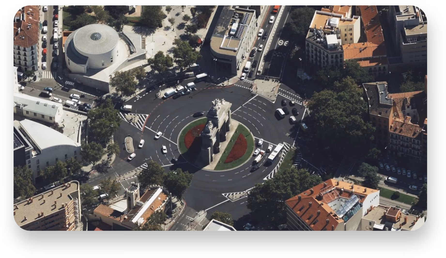
Imagery from every angle
Oblique and Nadir imagery offers 5.5–7.5 cm resolution from all four cardinal directions, captured at a 45° angle—ideal for 3D visualization and site assessment. Ortho and True Ortho provide orthorectified imagery at 7.5–15 cm resolution—perfect for mapping and analysis.
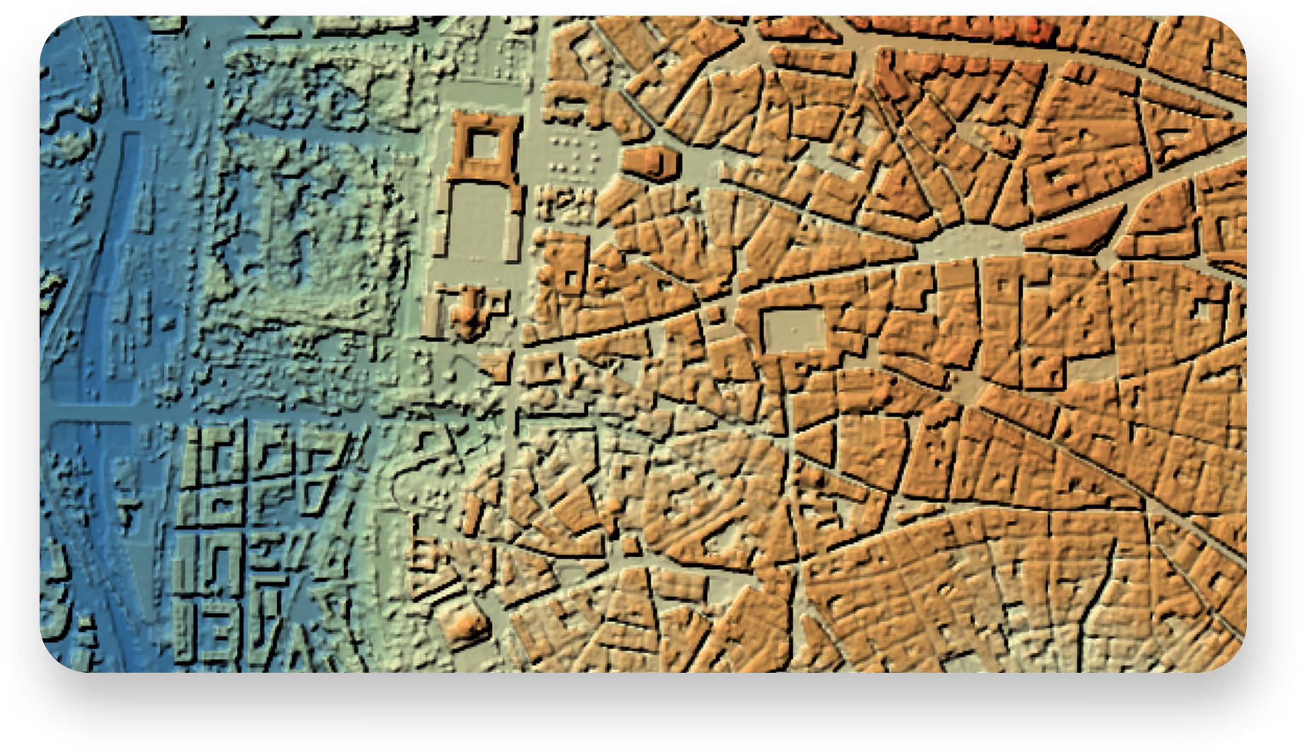
Reliable elevation intelligence
Vexcel Elevate delivers digital surface and terrain models with 5.5–20 cm resolution, captured in sync with multispectral imagery for a precise pixel-to-pixel alignment and more precise analysis.
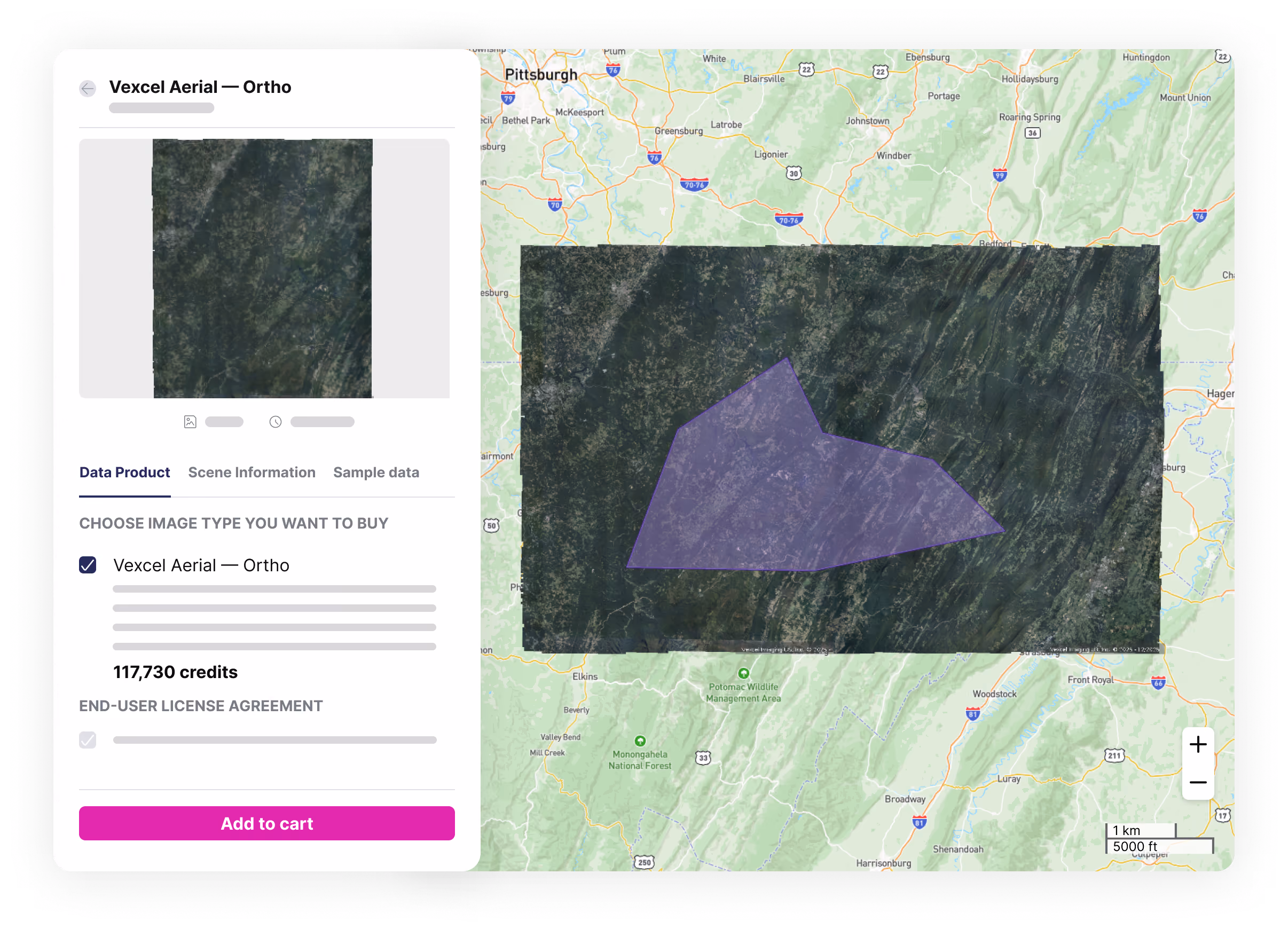
Effortless data discovery
Looking to enrich Vexcel data with other sources? UP42 provides standardized access to optical, SAR, and elevation data from top providers—harmonized into a common format for seamless integration.

Build solutions faster with the UP42 platform
01
Personalized training
Our dedicated teams will accompany you every step of the way, offering personalized onboarding and training.
02
Industry-leading support
Receive expert technical support with custom solution development and system integrations.
03
Transparent and flexible pricing
Get instant price estimates early in your buying process, with volume discounts and custom pricing for larger projects.
Discover Vexcel data
