Analysis-ready data for faster insights
Learn how UP42 and Intermap convert Earth observation imagery into analysis-ready data, allowing for faster downstream integrations and improved insight extraction.


Key topics
What you'll learn
We'll give a technical walkthrough on converting remote sensing imagery into standardized analysis-ready data. Topics will include:
- Automated data standardization: Standardize multi-provider imagery into cloud-native formats for direct ingestion into GIS tools and analytical pipelines.
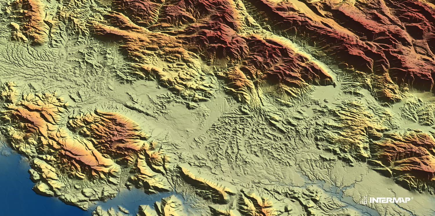
- Precision orthorectification: Watch Intermap demonstrate how NEXTMap 1m DTMs remove terrain displacement to deliver sub-pixel horizontal accuracy.
- End-to-end processing: Apply orthorectification, pansharpening, true color conversion, co-registration, and upsampling to increase model performance and cut costs.
Key insights from this webinar
A technical walkthrough on converting remote sensing imagery into standardized analysis-ready data:
- Automated data standardization: Standardize multi-provider imagery into cloud-native formats for direct ingestion into GIS tools and analytical pipelines.
- Precision orthorectification: Watch Intermap demonstrate how NEXTMap 1m DTMs remove terrain displacement to deliver sub-pixel horizontal accuracy.
- End-to-end processing: Apply orthorectification, pansharpening, true color conversion, co-registration, and upsampling to increase model performance and cut costs.

Multi-provider imagery
Access optical and SAR imagery from leading providers through a single platform.

Precision orthorectification
Remove terrain displacement with NEXTMap 1m DTMs for sub-pixel horizontal accuracy.

End-to-end processing
Chain pansharpening, true color conversion, co-registration and upsampling in one workflow.

Cloud-native delivery
Receive standardized outputs ready for direct ingestion into GIS tools and analytical pipelines.
Built for teams turning imagery into decisions

GIS analysts and data scientists
Skip manual preprocessing and feed standardized data straight into your models.

Geospatial engineers
Learn how to automate processing chains and plug outputs into existing pipelines.

Product and program leads
See how analysis-ready data shortens time to insight and reduces processing costs.
Less preprocessing, faster insights

Faster time to insight
Spend your time on analysis instead of data preparation.

Consistent accuracy
Standardized outputs with reliable geolocation across providers.

Cloud-native formats
Outputs that plug directly into your GIS tools and pipelines.

Expert support
Guidance from UP42 and Intermap specialists at every step.
Our speakers
You can interact with our expert speakers and learn more with a live Q&A at the end of the session.

John Doe is a renowned technology evangelist with over 15 years of experience in the tech industry. He specializes in cloud computing and artificial intelligence, sharing insights on how these technologies can transform businesses. His engaging talks inspire audiences to embrace innovation and leverage technology for growth.

Sara Lee is a sustainability advocate who focuses on environmental conservation and corporate responsibility. She has worked with various organizations to implement sustainable practices and reduce their carbon footprint. Her talks inspire action towards a greener future and highlight the importance of sustainability in business.

Mike Johnson is a leadership coach dedicated to empowering individuals and teams to reach their full potential. With over a decade of experience in corporate training, he emphasizes the importance of emotional intelligence and effective communication in leadership. His sessions are interactive and designed to foster personal growth.
Register now
We will send you a link minutes before the webinar
See for yourself how the UP42 platform works
