Collaboration & compliance
Share data and results within your organization, stay informed about important order updates, and improve compliance with our centralized licensing service.
UP42 transforms how organizations order, access, and analyze EO data.
UP42 catalog
Archive data from the world’s leading providers
A collection of optical, SAR, and elevation archive data from providers such as Airbus, Vexcel, Hexagon, Intermap, Capella Space, and more.
Simplified data discovery and acquisition
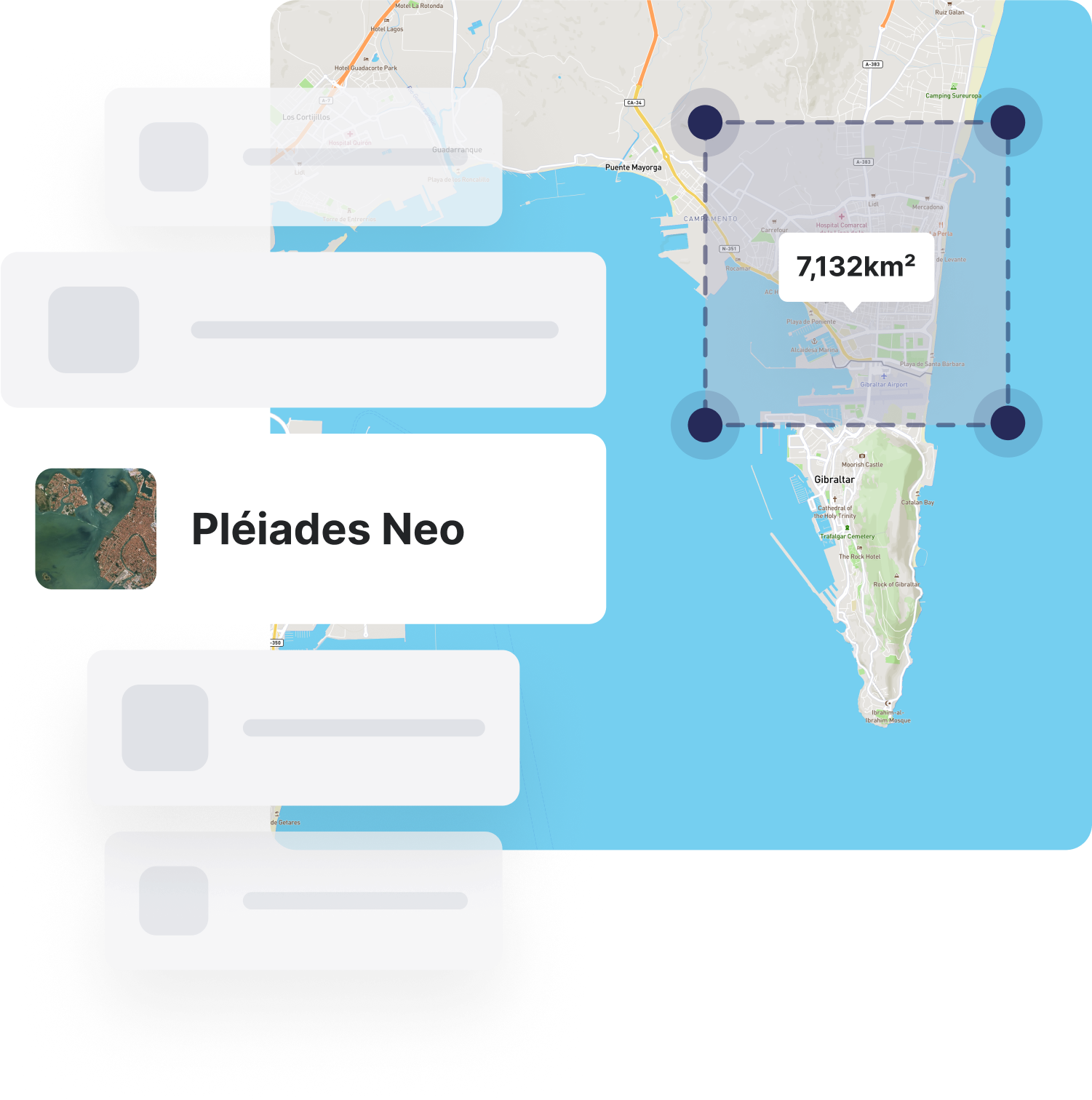
Transparent cost estimates and image previews enable easy comparison and ordering of geospatial data.
UP42 tasking
Cross-sensor tasking
No need to negotiate with multiple providers. Our unified tasking interface and APIs handle this so you don't have to.
Expert guidance
We know how to drive tasking operations. Our team will guide you through the best steps for your use case and budget.
UP42 data management
A STAC-compatible solution
Benefit from tagging, search, and filter options. A common metadata set and structure enable easier downstream integrations, visualizations, and more.
Standardized data formats
Regardless of provider or delivery format, UP42 transforms assets into a standard model. Raster data is converted into cloud optimized GeoTIFFs (COGs), and vector data, into GeoJSONs. Stream or download exactly what you need.
UP42 processing
Advanced enhancement algorithms
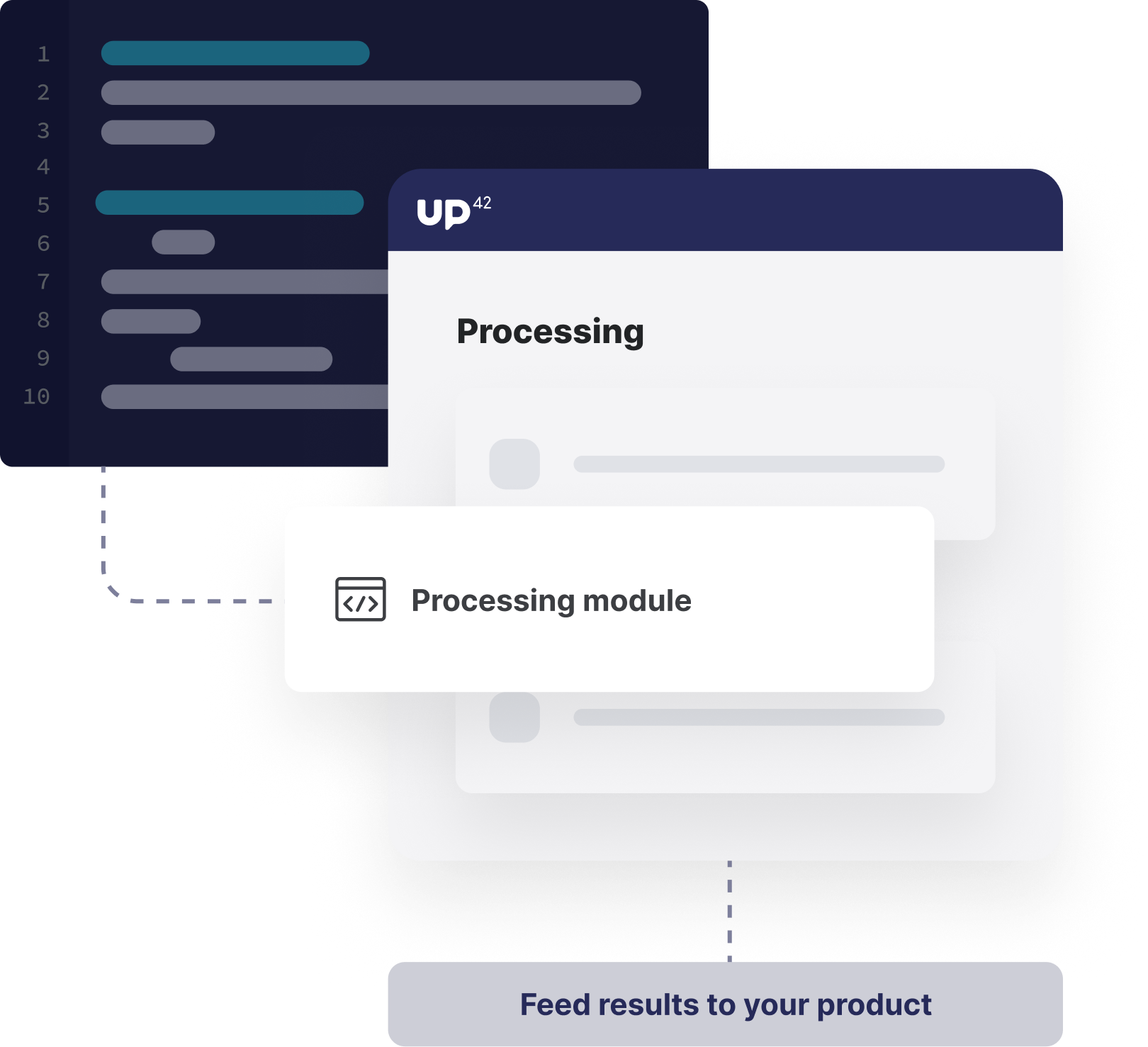
Transform geospatial assets into analysis-ready data through enhancement algorithms such as pansharpening and co-registration.
Analytics from leading partners
Extract insights from your data using processing algorithms for change or object detection, and much more.
Share data and results within your organization, stay informed about important order updates, and improve compliance with our centralized licensing service.
Our dedicated teams will accompany you every step of the way, offering comprehensive onboarding and personalized training to ensure your journey is smooth and successful.
Receive expert technical support with custom solution development and system integrations. Benefit from comprehensive documentation to help you figure things out fast.
We've sourced a wide array of both data and processing capabilities, so you don't have to.


