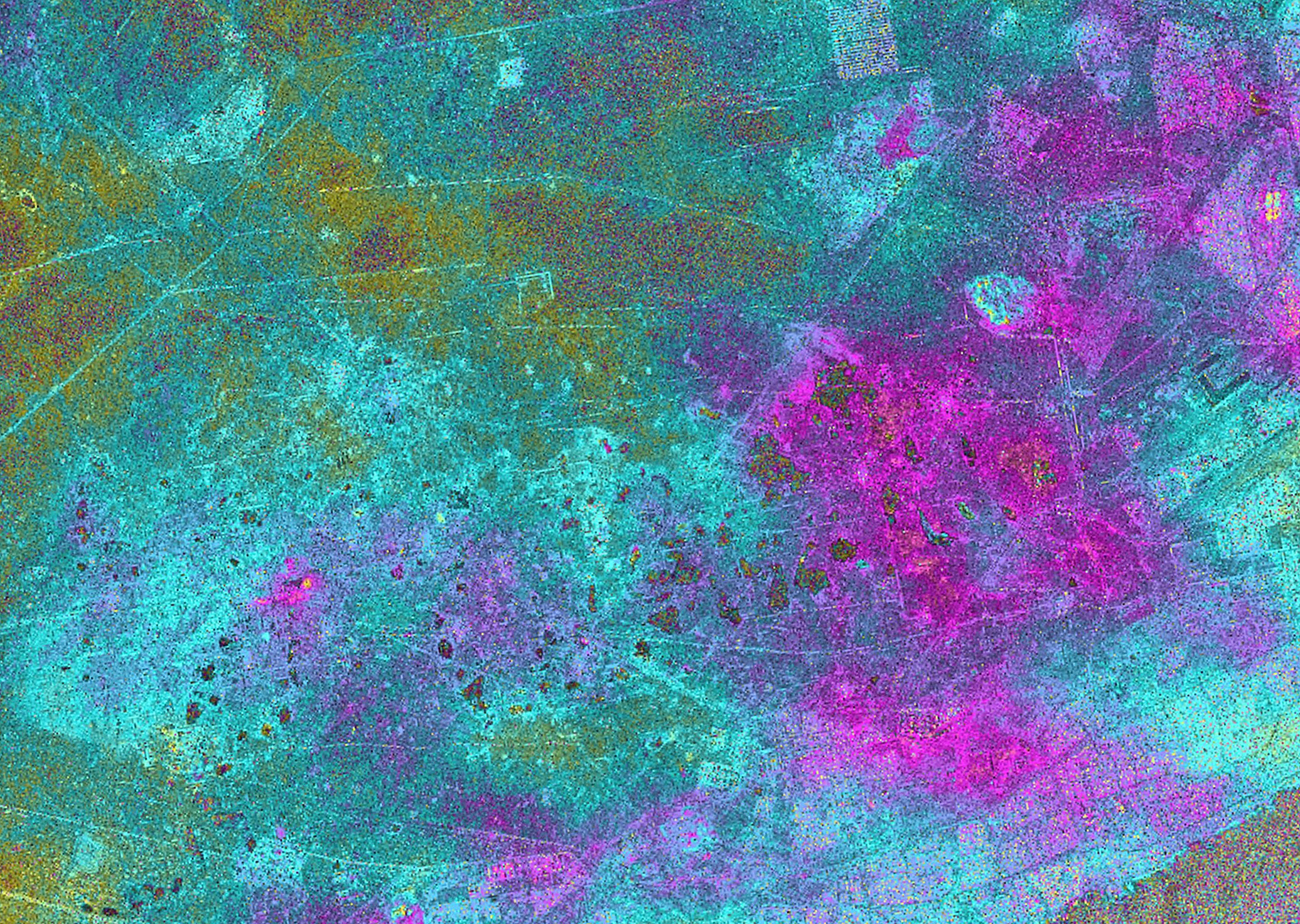
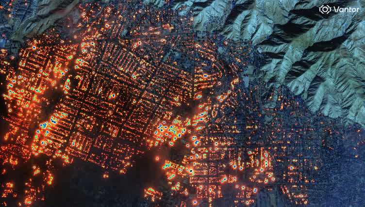
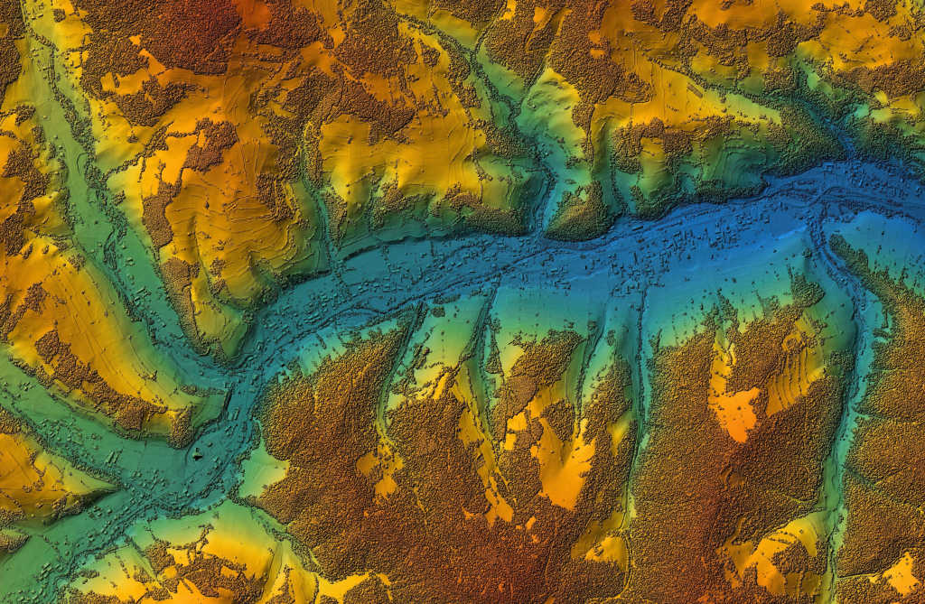
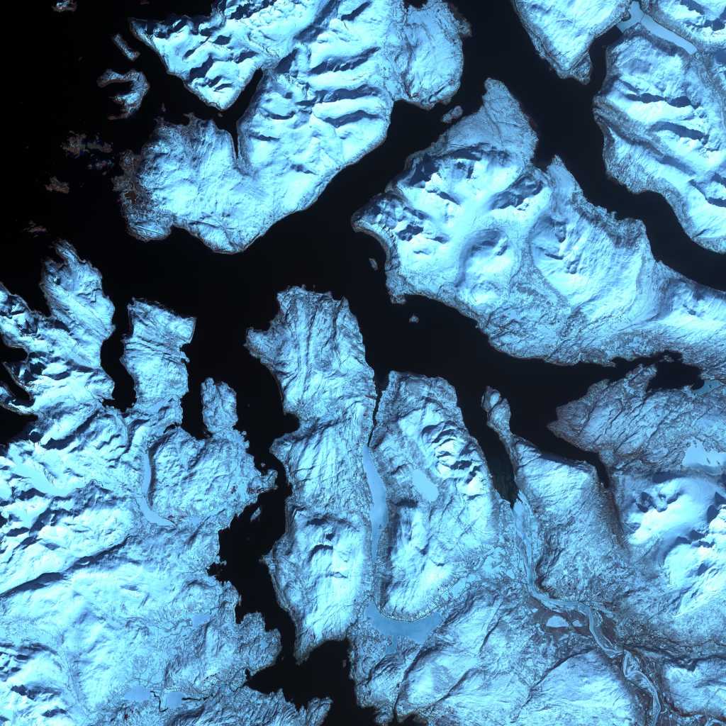
High-quality SAR data is hard to come by and in high demand:
Now, introducing TerraSAR sample data
For every business and individual, there's a time to learn and a time to perform. The quality of learning and experimenting reflects the quality of long-term performance, especially in the rapidly evolving and highly-competitive geospatial tech sector. We practice this at UP42 and know you do too, because we're in this together.
Cue the introduction of two new blocks, free and ripe for discovering new applications: TerraSAR SSC sample data and TerraSAR EEC sample data, the perfect opportunity for innovation. Here's a short list of some of the features and benefits you can expect with these datasets:
Key Features and Benefits:
- Unrivaled geometric accuracy and excellent radiometric accuracy
- Reliable, weather and daylight independent site monitoring
- Ground resolution below one meter — imagine what you can detect!
- Chance to develop and showcase processing solutions with UP42, adding new revenue streams
- Access to over 250 scenes, regularly updated with fresh acquisitions.
- Did we mention it’s free?
 *Sample data blocks are listed on the UP42 marketplace with more information on their block cards. *
What can you do with TerraSAR-X sample data?
Applications and use cases for high-resolution radar like TerraSAR include Digital Terrain Models, change detection, environmental monitoring, emergency response, and more. Based on the greatest range of these applications, we’re offering two processing levels:
SSC: Single Look Slant Range Complex in DLR-defined COSAR binary format. This format retains the full bandwidth and phase information, perfect for interferometry and polarimetry. Since SSC products aren’t resample or geocoded, they don’t have radiometric artifacts which may make it preferable for your application even if you don’t need phase information.
EEC: Enhanced Ellipsoid Corrected in GeoTiff format. This product features the highest level of geometric correction available for TerraSAR-X and is great for quick interpretation and combining with other data sources. The spatial resolution is decreased slightly in order to reduce speckle and thermal noise.
 Example photos: A. New Delhi, India- StripMap (SM) Acquisition, B. Silicon Valley, CA, US StripMap (SM) Acquisition, C. New Delhi Airport, India- Staring Spotlight (ST) Acquisition, and D. Richmond Airport, CA, US- Staring Spotlight (ST) Acquisition.
All datasets come as full scenes and each block allows for filtering of following parameters: AOI, acquisition mode, processing level, orbit direction. With access to different acquisition modes, resolutions and processing levels, we aim to pique your interest and support a wide variety of your use cases. Data stacks will be continuously updated and grow over a period of 12 months, starting on 1st April 2020.
Getting started with TerraSAR-X
Read more here on how to build a custom block, download the SNAP Toolbox here, and check out the open source code for our SNAP Polarimetric Processing Block. Develop and share new algorithms and applications! For those new to SAR, our partner Airbus has prepared a thorough info-sheet to help get you started so can finally find answers to the questions that you’ve been asking! Contact our team at [email protected] if you have any questions about how to make the most out of your data.


