Pansharpening: An initial view into our advanced analytic capabilities
UP42’s had a busy year so far: we’ve brought tons of new data sources to the platform, adopted the STAC specification, and introduced a cloud-native asset model to ensure data consistency and easier integrations.
Now it’s time to tackle another challenge: analytics. In this post, we’ll talk about how we’re making it easier to scale your analytics, with a focus on the biggest example, our brand-new pansharpening processing module.
A preview into UP42’s advanced analytics capabilities
If you’ve used a processing algorithm on UP42 in the past, you might have encountered some limitations. It’s challenging to process multiple scenes and generate insights at scale. You need to go to Projects, where you can build a workflow with data and processing blocks and generate job outputs. Your computation is applied to every single image at a time, and the results are stored in the project itself. In other words, our analytics platform is currently a standalone component, not integrated into the UP42 data platform.
We want to make this process more scalable. Here’s how.
Over the last few months, we’ve invested significantly in our data management capabilities, adding more value to our users and enabling easier downstream integrations. We adopted the STAC specification, which allows for advanced search and filtering options across multiple providers for geospatial assets with a common structure and set of metadata. Thanks to this, users can now do an advanced STAC search in data management beyond simple attributes like date, time, and constellation. We also introduced a cloud-native asset model (CNAM), standardizing delivered scenes in UP42 storage. This ensures consistency in how a delivery is named, its media type (raster data is transformed into Cloud Optimized GeoTIFFs, vector masks into GeoJSONs), and its role (e.g., data, metadata, previews, or masks). Introducing STAC and CNAM was a mandatory step to ensure cross-sensor metadata and format consistency, and serves as the foundation for our advanced analytics capabilities.
In short, we’ve connected all the components of our platform and provided a reliable input and output to generate insights at scale. From ordering your archive data or tasking a satellite to managing it in our data management component and running processing at scale—our platform is now fully integrated.
We’re also fully integrating our analytics capabilities into the platform. This means that you can now process any order delivery via our data management component. Most importantly, the output will be available in our STAC endpoints too, accessible through the same component. Let’s look at some of the benefits.
- Scalability: you can now apply our advanced processing capabilities to as many scenes as you want, as long as they’re compatible. This will be the case with all algorithms we bring to the platform.
- Usability: the end output will no longer be stored in the project itself, but in your data management component, making it easier to use the data for your downstream use case. You can also trace the workflow from order to generated insight.
- Reliability: you can visually verify your job on the map, within the data management map component.
- Transparency: with improved credit estimation, you can clearly see how many credits you need to process your data.
With the transition to our advanced analytics capabilities, we will introduce some changes to the way processing modules are currently utilized.
Processing blocks
UP42 helps you solve the toughest geospatial challenges by giving you access to the best combination of data and analytics partners to address your business needs. We’ll continue to bring leading analytics providers to our platform, ensuring your access to the most advanced ARD, ML, and visualization algorithms available. As we move away from our current processing block structure, we will enhance our existing partners' offerings. During this alignment, and as we focus on the analytics strategy, some of the processing modules will be temporarily unavailable.
Projects and job output availability
Current project functionality will be replaced by custom attributes for deliveries and processing results and will be accessible through your data management component. By the end of 2024, we will phase out the job outputs from previous projects. We’ll keep your job output so you can access it while we work with you on a migration plan.
Custom blocks
UP42 currently enables users to push and monetize their block on the UP42 platform. This feature will be removed in January and replaced by a new functionality in the first half of 2024, giving you the option to integrate your own code and algorithms. If you are a current user, we’ll work with you on the transition. Stay tuned for more on this.
Now let’s review a more practical example: pansharpening.
What is pansharpening?
It’s hard to find one sensor that gives you the spectral, spatial, and temporal resolution you need. This is where pansharpened images come in. Short for panchromatic sharpening, pansharpening is an image fusion technique that increases the image to the resolution of the panchromatic band. It combines the higher-resolution panchromatic band with a lower-resolution multispectral band to yield a high spatial and spectral resolution image. Pansharpening improves the visual interpretation of details such as power lines, rails, roads, buildings, and other objects, and enables more accurate quantitative analysis. Below are some benefits of pansharpening:
- Higher accuracy: the final image allows for a more detailed representation of the earth’s surface, allowing for a more detailed analysis.
- Higher compatibility: pansharpened images are often more compatible with aerial and other high-resolution images, which facilitates data fusion.
- Improved visualization: when you need to distinguish individual objects such as cars or trees, pansharpening makes it easier to identify and classify objects and features in a scene.
- Easier image-processing: pansharpening can enable easier processing such as segmentation, classification, or object detection.
- More accurate labeling of training datasets: this leads to higher performance of ML algorithms.
Below are some examples of image bands and their resolution.
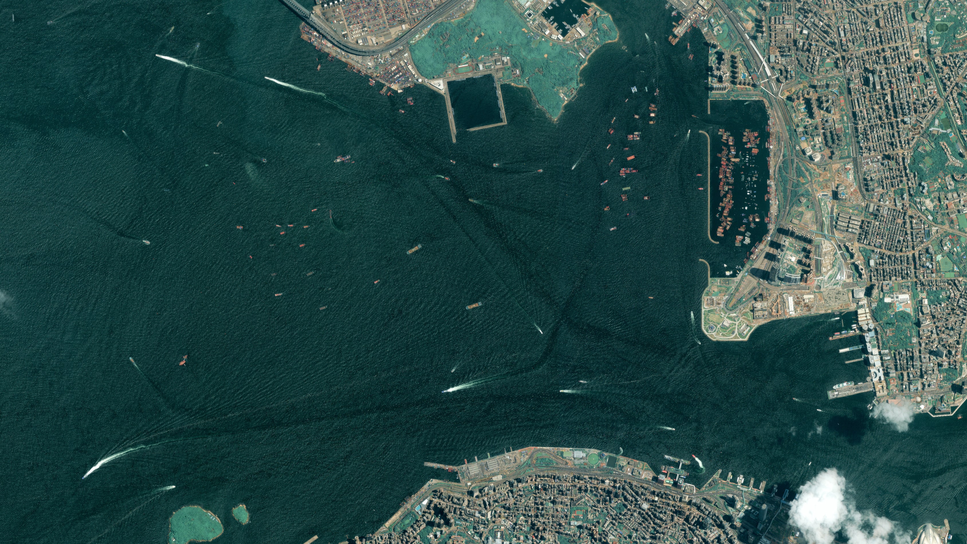
Beijing-3A, 21AT
There are some disadvantages as well, e.g., inconsistent spectral values. But it’s fair to say that the advantages outweigh the disadvantages for most use cases. You can find more information about pansharpening and how to make the most out of your satellite imagery in our blog, How pansharpening improves satellite imagery.
Introducing a new pansharpening algorithm: the first advanced analytics capability running over a standardized input
You can now pansharpen your scenes directly on our platform. The new pansharpening algorithm is provided by Pixel Factory. It allows you to process high quality Earth observation products using the Brovey method.
You will be able to automatically see which scenes are suitable for pansharpening, e.g., which scenes contain both panchromatic and multispectral bands. We will provide automatically optimized grey weights—no need to specify anything yourself.
The algorithm consumes and returns data and metadata that is STAC and CNAM compatible. You can find a detailed list of geospatial collections that can return STAC-related information here. It allows you to select an unlimited number of scenes and pansharpen them, instead of doing so individually for each scene. You can apply the algorithm by defining its STAC item ID. The pansharpened asset will be added to your account as a new STAC item, accessible via /v2/assets/stac endpoints.


You can find more information about the requirements, input, and output in our detailed technical information.
The introduction of our advanced analytics capabilities is a significant leap forward in enabling you to harness the power of geospatial data. We are streamlining data processing and bringing together leading algorithms so you can extract invaluable insights from your data, quickly and at scale. With the power of data and analytics at your hand, the potential applications are endless.
The bottom line is: we’re making it easier. Don’t take our word for it: try out pansharpening on the UP42 platform today.
Related posts
Subscribe to our newsletter
Stay up to date and learn about our fast-growing new features
