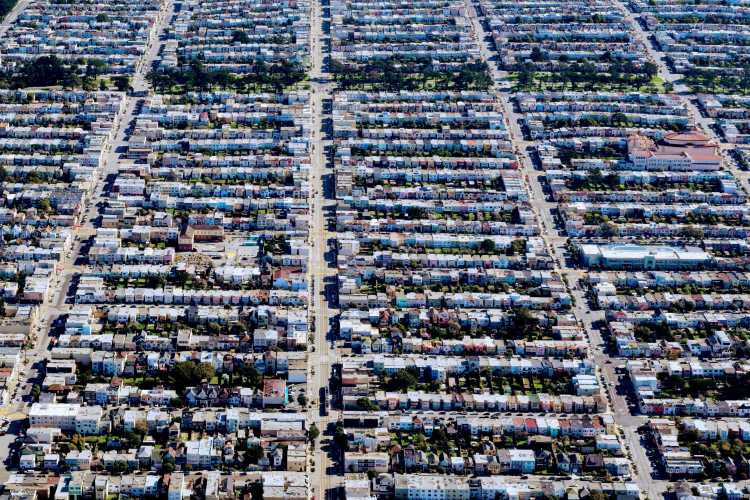
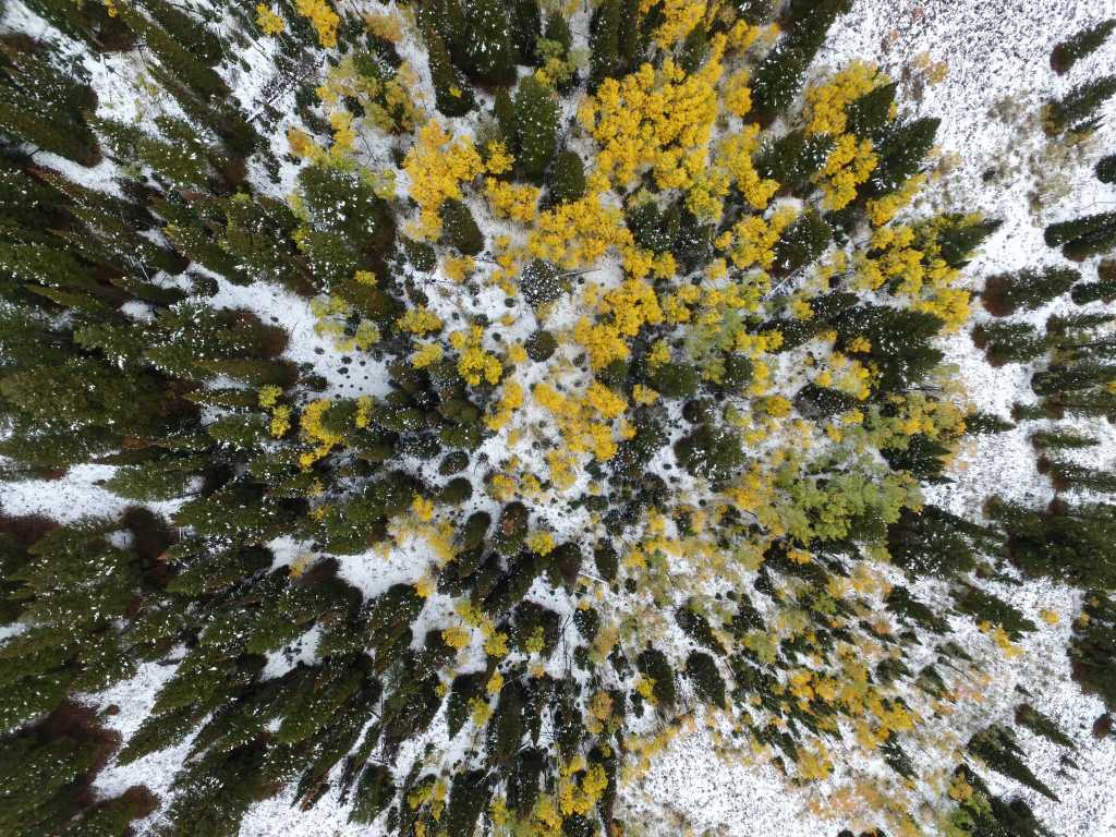
Be it from terrestrial, airborne, or spaceborne platforms, LiDAR data and stereo imagery provide valuable 3-dimensional information about the Earth's surface.
They each have distinct characteristics which may make one suitable over the other. Other times, the fusion of LiDAR and stereo results in better outcomes than separately.
In this article, we will focus on the value of using stereo imagery and point out areas where you should consider switching from LiDAR to stereo---or using a combination of the two.
But first, we will explore the basics of LiDAR, why it is great, and why it may not be the best choice for every application.
What Is LiDAR and How Does It Work?
Light Detection and Ranging (LiDAR) is a data collection method that works by sending light pulses to the Earth's surface and recording the time they take to be reflected. The pulses travel at the speed of light, enabling computation of the distance between the target objects and the sensor.
The result is a cloud of measured points, known as a LiDAR point cloud, composed of points with XYZ coordinates and other attributes like intensity and time. The density of the point cloud is determined by the LiDAR sensor data collection rate, the flying height, and the speed of the platform.
LiDAR point clouds often include multiple returns for a single pulse. Return level enables one to determine the likelihood of a point being a ground point (last return) or top of the surface (first return). The last returns are usually used to create bare earth digital terrain models (DTMs), while the first returns are used for digital surface models (DSMs).
Because LiDAR pulses can penetrate small spaces between vegetation to reflect off the ground, LiDAR is best for terrain modeling below dense vegetation. Multiple returns make it suitable for understanding the complexity of the vegetation structure and for extracting canopy height information.
Vertical cross-section of LiDAR point cloud in a vegetated area (Source: Stefanidou, A., Gitas, I. Z., Korhonen, L., Stavrakoudis, D., & Georgopoulos, N. (2020). LiDAR-Based Estimates of Canopy Base Height for a Dense Uneven-Aged Structured Forest. Remote Sensing, 12(10), 1565. https://doi.org/10.3390/rs12101565)
Another advantage of LiDAR is that it is an active remote sensing method---meaning that it emits its light and does not depend on visible light---and can thus map at night or in areas experiencing low visibility, like shadowed areas.
With that being said, LiDAR data may not be optimal for every application. Here are a few reasons why you may consider looking for LiDAR alternatives:
-
Lack of spectral information: LiDAR does not contain spectral information which may be essential in your application.
-
Need for a continuous surface: Being a sampling and not an imaging tool, LiDAR point clouds provide sample points as opposed to continuously capturing surfaces like imagery.
-
High cost of LiDAR: LiDAR data collection is expensive over wide areas that require frequent monitoring.
-
Need for global coverage: LiDAR data is not readily available in most parts of the world.
Learn more about LiDAR and stereo accuracies.
What Is Stereo Imagery and How Does It Work?
Stereo imagery refers to the capture of two or more images of the same area from different positions, such that the same scene is visible in different photographs. Overlapping photographs are known as stereo pairs. Three overlapping images of the same scene are called tri-stereo images.
So, how does stereo imagery work?
In the same way that the human brain perceives depth: the separation between the eyes means each eye views objects from slightly different angles. Stereo images capture the same scene from slightly different positions. Common features identified on overlapping images enable the extraction of the z dimension, and therefore the generation of 3-dimensional models.
Satellites can capture stereo image pairs in one pass, along the same orbit (along-track stereo), or from different orbits (across-track stereo).
Here are a few reasons why you should consider switching to stereo satellite imagery:
-
Scale and efficiency: Satellites image wide swathes of land in one pass without the logistics of flight planning associated with airborne LiDAR campaigns, resulting in cost and time savings.
-
Capture data anywhere within a specific time frame: Satellite tasking gives you the ability to choose the time when you want the stereo imagery captured, which is especially important during disaster response, where the existing imagery is insufficient.
-
Frequent coverage for consistent monitoring: Satellites revisit various parts of the Earth, making them the right tool for frequent monitoring where LiDAR would prove expensive. Additionally, existing archives can also be used.
-
Global coverage: Satellites collect data globally, even in restricted and hard to access areas, meaning that you can extract 3-dimensional models without the need for LiDAR.
Learn about the use of stereo imagery for vegetation management.
Comparison of LiDAR and Photogrammetric Point Clouds
Matching objects and textural features enables the production of 3D point clouds from stereo images. These are known as stereo photogrammetric point clouds. The table below compares LiDAR and photogrammetric point clouds.
| LiDAR Point Clouds | Photogrammatric Point Clouds | |
|---|---|---|
| Coverage | LiDAR is a sampling method, and therefore, may lack points along break lines. For example, the point cloud may contain gaps at building corners. | The scanning method makes it possible to extract dense points along with break lines. |
| Point density | Dense point clouds depend on the pulse rate, flying speed, and height. | Depends on the spatial resolution of the stereo images and image matching achieved. |
| Captured Surfaces | Captures the top of closed surfaces like buildings, and also penetrates surfaces with openings like tree canopies. Therefore, the point cloud may have multiple z values at one x, y location. | Only captures the top surfaces of the imaged scene. Only capture treetops in densely vegetated areas. Point cloud has one z value at each x, y location. |
| Accuracy | High vertical accuracy. Depends on, among others, sensor calibration, flying height, flying speed, and pulse density. | High horizontal accuracy, but lower vertical accuracies than LiDAR. Depends on the spatial resolution and stereo matching accuracy. The base to height ratio, and radiometric distortions caused by shadows and textureless areas, affect matching accuracy. |
| Production Time | Shorter. Direct measurement enables rapid point cloud delivery through automated processes. | Takes longer than LiDAR. Requires manual or automated matching of stereo pairs before the generation of point clouds. |
| Color | Can only be colored using height or intensity values. | Can be colored based on stereo imagery spectral values. |
Distinct Strengths
Acquiring and maintaining both LiDAR and stereo datasets can be a costly endeavor. Often, it may be necessary to choose a single dataset. In such a case, you have to weigh the pros and cons of each.
Because they are spaceborne, very high-resolution stereo imagery data may have inconsistencies due to varying sun-sensor geometry, or atmospheric conditions between data collection times. However, these problems may be insignificant in single-pass satellite systems since (tri)stereo images collected within a few minutes of each other will have a negligible difference in atmospheric and sun illumination properties.
In contrast, LiDAR is an active system and is thus unaffected by data variability caused by different data collection times. That said, airborne LiDAR takes a longer time to cover the same area, incurring higher costs. LiDAR data is also not readily available for most parts of the world.
When it comes to vegetation, LiDAR provides structural information like diameter, tree height, crown size, number of trees, etc., but lacks spectral information.
Meanwhile, multispectral stereo imagery contains spectral information which is useful for monitoring vegetation health, classification, and mapping of tree species. They also enable a visual assessment of other characteristics, such as the color of leaves, and can also be used for detecting deforestation.
As we saw earlier, the generation of 3-dimensional models from stereo pairs requires the matching of common features. However, stereo image matching is difficult in low texture areas (e.g. water, ice, and desserts) or shadow areas where identification of common features proves challenging. As such, gaps or inaccurate elevations may characterize these areas.
LiDAR, on the other hand, is an active sensor and can directly measure such surfaces, resulting in more accurate values. Being an active sensor, it can collect data both day and night.
Fusing LiDAR and Stereo
Looking at the distinct strengths above, it is interesting to note that LiDAR and stereo complement each other. Depending on the application, stereo imagery may be more appropriate than LiDAR, and vice versa. Sometimes, the combination of LiDAR and stereo can be more helpful where the shortcomings of one technology are compensated for by the strengths of the other.
Fusion of LiDAR and stereo can take different forms, like
-
Fusion of accurate LiDAR point clouds with dense photogrammetric point clouds to generate a more accurate and complete point cloud.
-
Fusion of LiDAR point clouds with stereo imagery to extract additional data like spectral information or to interpolate LiDAR point clouds using stereo imagery for a complete and more detailed LiDAR point cloud.
-
Using LiDAR-derived DSMs to rectify high-resolution multispectral stereo images into orthoimages
Below are examples of use cases where LiDAR and stereo are used together.
Retrieval of Forest Attributes
In forest inventory and monitoring, LiDAR data has been predominantly employed. However, the quest for a more cost-effective approach has led to increasing research on the use of high spatial resolution satellite stereo imagery for the derivation of forest attributes.
The consensus is that the combination of LiDAR and stereo is a viable option for regular wide-area forest attributes inventory and monitoring.
Here, heights are extracted by subtracting LiDAR-derived DTMs from stereo-derived DSMs. LiDAR-derived DTMs minimize errors in the extracted normalised digital surface model (nDSM).
Because ground elevations remain stable over time in most areas, archive LiDAR DTMs can be paired with stereo images for regular, large area updating of forest attributes without the expense of LiDAR---beyond that used to generate the initial DTM. Further, stereo images can be used to extract additional attributes like tree species and health.
Fine Scale Land Use Land Cover (LULC) Classification
Multispectral high-resolution stereo images enable LULC classification by leveraging spectral differences. Since both spectral and height information are present, it is possible to undertake classification using one data source.
One limitation of stereo images, however, is the inability to differentiate between features that have the same spectral reflectance but slight height differences beyond the vertical accuracy provided by stereo imagery.
LiDAR, on the other hand, lacks spectral information but provides high vertical accuracies. Therefore, the combination of LiDAR and high-resolution stereo imagery facilitates finer scale LULC classification.
3D Modeling of Buildings in Urban Environments
3-dimensional modeling of urban areas is important for visualization, urban planning, emergency response, and navigation, to name a few.
Urban areas comprise buildings, open terrain, vegetation, infrastructure, utilities, etc. each with specific characteristics like color, texture, shape, and height.
LiDAR has dense points and high positional accuracy. LiDAR enables detection of the ground surface and above-ground features like buildings and vegetation. The difference between the DTM and the DSM enables the determination of feature heights.
Multispectral stereo imagery contains red, blue, green (RGB), and near-infrared (NIR) bands. NIR is useful for vegetation detection. Using normalized difference vegetation index (NDVI), we can distinguish vegetation from other features, such as buildings.
Stereo images also contain texture and shadow information. Texture enables the distinction of objects with similar spectral characteristics, whereas shadows are useful for building detection.
We can extract building shapes and edges from both LiDAR and stereo. Since LiDAR points are irregularly distributed and may not capture exact boundaries, resulting in rough edges. Integration with high-resolution stereo imagery enables the detection of precise edges and shapes.
In this way, the combination of LiDAR point clouds and stereo satellite imagery results in more accurate and complete 3-dimensional building models.
Making the Most of Stereo Imagery
Stereo and LiDAR have different strengths. Therefore, based on your use case, stereo imagery may not completely replace LiDAR, and vice versa. But for applications that do not require vegetation penetration capabilities or the high level of accuracy provided by LiDAR, stereo imagery is the optimal alternative.
Specifically, high-resolution stereo satellite imagery is:
-
Cost-effective over wide areas
-
Globally available
-
Continuously collected
Ultimately, the choice to switch from LiDAR to stereo will majorly depend on your unique application. So you may need to undertake further research beforehand. Be sure to consult with a geospatial professional too. At UP42, our team can advise on the optimal data for your task.
And if you decide to make the switch---or combine the two---why not start by looking at our range of high-resolution imagery?


