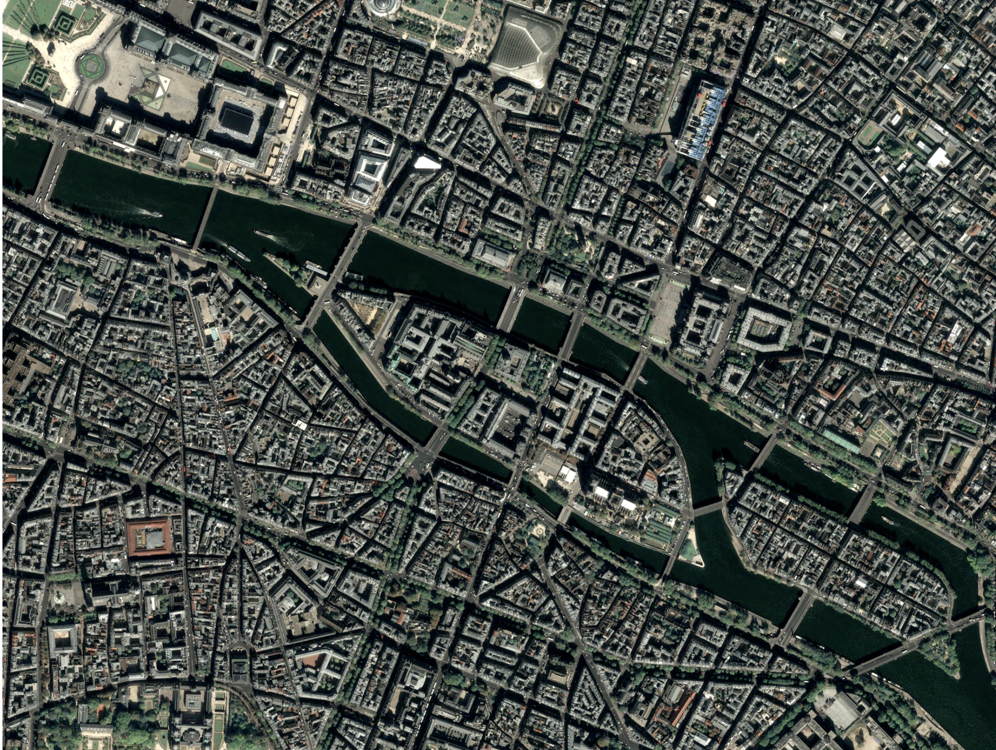
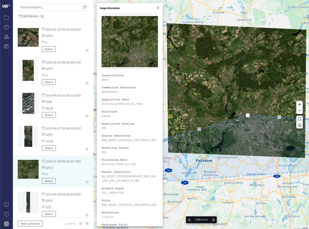
Working with satellite imagery can mean hours of finding the type of data you need, then figuring out the steps to process it. Satellite imagery can be hard to read and use because of the many formats that it can come in. Typically, you’ll need to process it so that it’s analysis-ready. Correcting, enhancing, classifying. There’s a lot to it. Could we make this a bit easier?
Our core philosophy is usability. We’re dedicated to simplifying your geospatial workflows. That’s why we’re continuously releasing new UP42 processing blocks on the marketplace. Blocks are units of datasets and algorithms, wrapped up and ready to be added to your workflows. Essentially: they’re building blocks for your workflows.
While our partners bring you easy access to datasets such as Sentinel-5P and Pléiades, and analytics algorithms such as object detection and vegetation monitoring — our data team builds basic processing tools. We’ve got pansharpening, vectorization, data type conversion, and much more. Our aim? To make processing imagery as effortless as can be.
By covering the processing blocks, we’re leaving room for you to focus on extracting specific insights using other blocks on the marketplace.
Here’s a roundup of our latest processing blocks:
Raster CRS Conversion
This processing block converts image data to different coordinate reference systems (CRS) to the given EPSG code. By default, it converts the CRS to the best fitting UTM zone projection of the input footprint. It does this by taking an input, applying a CRS transformation process, and returning the EPSG code for consumption and analysis.
Vectorization
Our vectorization block creates vector files in GeoJSON from raster files in GeoTIFF format. It lets you group together pixels of a raster image with the click of a button. Use this when you’re looking at two or more visually different landscapes — such as land, water, and desert for example.
Vectorization is a great way to explore your imagery quickly. You could even use it as a way to do generic change detection — by spotting changes in clusters over time.
Sharpening Filter
This block applies an unsharpened masking filter algorithm to enhance the sharpness of a raster image. There are three possible sharpening strength options to choose from — depending on the level of crisp that you’re looking for.
The source code is published as Free Software/Open Source (MIT License) and can be found here.
K-means Clustering
K-means clustering one of the simplest and most popular unsupervised classification algorithms. This block gives you quick classification results on-demand. It clusters pixel values and groups data points together, letting you discover underlying patterns.
This block is free and its source code is available here.

The humans behind the UP42 processing blocks
Of course, none of this would be possible without a wonderful team. So, a big shout out to the entire team of engineers, scientists and product managers who continuously create and open source processing blocks.
We’re sure there are many more processing steps that you’d like to spend less time on. Share your ideas with us, tweet @UP42Official or comment in the GitHub repo. We’re interested in making it easy to do everything from land cover classification to cloud masking (coming soon). We look forward to continuing to make UP42 a useful place to create geospatial products.
If you’re interested in applying machine learning to geospatial workflows, head to our careers page — we’re always looking to talk to passionate people.
To use UP42 processing blocks, visit our marketplace where they are listed alongside partner algorithms.


