Welcome to this month’s UP42 update! Each and every month, we'll share the product, company, and team updates that matter most to you. It’s been a fantastic month with a range of new features, partners, and opportunities that we’ve been itching to share, so let’s get into it!
——— ✨ What's New? 🚀 ———
Run jobs directly from catalog search 🔍
This feature is a game-changer in how you can go from data to insight with UP42. You can now move seamlessly from searching for the data you need to processing that data with an UP42 workflow.

What is the catalog search?
The catalog search is an incredibly easy way to search across top satellite data sources, such as Pleiades, SPOT 6/7, and Sentinel-2. You can filter by date range, cloud cover, and AOI to ensure that the image you purchase fits your requirements.
What are jobs?
Jobs are essentially data processing tasks. They are individual instances of an analytics workflow made up of data and processing blocks.

The days of copying and pasting image IDs between tabs are a thing of the past! You can now find the image you are looking for and process it within any compatible workflow in just a few clicks. You can truly go from idea to insight in a few seconds.
Collaborate With Your Team 👪
At UP42, we know that shared ideas, open feedback, and pushing towards common goals are crucial to building a great product. That is why we are so excited to share our new Team Collaboration functionality, encourage sharing ideas, and enable the development of even more powerful geospatial products.

Share Everything
Share access to projects, workflows, jobs, and custom blocks across your team. Don’t pay twice for the same data and analytics.
Centralized Billing
Purchase credit packages for your entire team and take advantage of 5–10% extra bonus credits. Admins can manage payment methods and purchase credits.
For Teams of All Sizes
Whether you’re 2 or 200 people, your entire team can take advantage of our platform and marketplace for data and analytics.
Provide feedback on this feature
Quicklooks and Parallelization ⚙️
The UP42 Python SDK enables you to work within Jupyter Notebooks or the CLI of your choice, accessing all the functionality available in the UP42 console and more. As you move from experimentation and exploration in the console, the SDK, enhanced by these two exciting new features, allows you to accelerate and scale your data acquisition and analysis.
Parallelization of Jobs
As the name suggests, this new feature allows you to run more than one job at a time—think of it as a batch of jobs that are running simultaneously. You can specify the maximum number of jobs within each batch you want to run in your project setting via the UP42 console or simply using the SDK to update it.
Quicklooks On The Map

This feature allows you to show a preview of all the quicklooks for the images that cover your AOI. This can be used within Jupyter Notebook to create an interactive map.
Read our blog post on the topic
Fantastic New Partners 🤝
Latitudo 40 |

We’re excited to welcome Latitudo 40 to the UP42 ecosystem. Based in Napoli, Italy, Latitudo 40 aims to bring the power of artificial vision into the world of remote sensing. They have published their Land Surface Temperature algorithm on the UP42 marketplace. Land Surface Temperature Estimation takes Sentinel 2 images as input and applies machine-learning algorithms to estimate the Land Surface Temperature with a spatial resolution of 10 meters.
LatConnect 60: Upcoming high-resolution, multispectral satellite data
We’re constantly working on expanding the options for UP42 users to access high-resolution, multispectral satellite imagery, and this partnership will undoubtedly do that. We’re pleased to have signed a partnership agreement with LatConnect 60, who will be launching their own satellites in 2021. Their inspirational journey speaks to the democratization of the geospatial industry. While they are democratizing the creation and collection of satellite imagery, we will continue to democratize the access of that data. We are waiting in anticipation for the launch!
——— 🏢 Updates From The Team 👪 ———
Welcome Aboard 🚀
Mehani Jacquin
We're very excited to welcome Mehani to the team. With extensive experience in business development roles working with technical products, Mehani complements our UP42 sales team perfectly. He joins the team as a Sales Development Representative, acting as the first line of friendly communication with new users of the UP42 platform.
Outside of work, Mehani both listens to and produces music and has recently taken up Shiatsu. Most importantly, Mehani loves to cook. We hope he'll be showcasing his skills in a team event when we're all able to get back together sometime soon. 🍲
Constanza Catania
Constanza is a fantastic addition to the engineering team. With experience as a full-stack developer, she brings an all-rounder mentality and skillset to her role as a frontend engineer. In her previous role at FRIDAY Versicherung, she worked extensively with applications built in ReactJS, TypeScript, and SASS.
Away from the CLI, Constanza enjoys traveling, photography, and during these recent turbulent times, has taken up gardening. Constanza is also a patient and accomplished craftsperson, with the impressive ability to make her own clothes! 👕
Our New Humble Abode 🏠

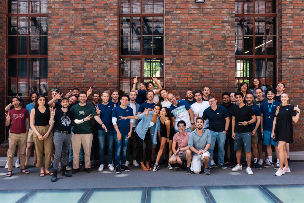
UP42 has a new home! We're thrilled to have moved directly next door to our previous office to a bigger space that enables us to continue our company expansion while maintaining social distancing for those that choose to go into the office during this challenging period.
When, as a company, we return to working in the office, each cross-functional product team will have a dedicated room to enable smooth collaboration. We've also got a range of new spaces that make it more comfortable for us all - whether that's common areas, quiet spaces, or areas for celebrations and team events (hopefully sooner rather than later! 🎉).
Those who know or live in Berlin will most likely understand why we're also particularly happy to find a new office in Kreuzberg. We love the neighborhood, atmosphere, and the surrounding cafes, bars, and restaurants!
Want to join us in our planet-themed, space-obsessed office? Check out the section below. 👇
Come and Grow With Us 🌱
We're constantly expanding our team to bring amazing new people just like you on board. Check out our open roles or, if you don't find what you're looking for, drop us a speculative application!
Engineering Manager, Backend
Is managing a backend engineering team in your wheelhouse? Well, you're in luck. We're excited to begin the search for someone to support and guide our backend engineering team. | Apply now
(Senior) Frontend Engineer
Do you want to build the frontend of an industry-disrupting geospatial platform? Then this role may be for you! We're looking for a talented and experienced frontend engineer. | Apply now
(Senior) Backend Engineer
Have you got a proven track record delivering high-availability cloud-based architectures? If so, we'd love to speak to you about our new backend engineer role. | Apply now
Senior Sales Manager - North America
Does building up a sales organization from scratch sound exciting to you? Our new senior sales manager will join the UP42 team remotely and lead the North America sales efforts. | Apply now
Sales Manager - North America
Are you interested in supporting our North American expansion? Within this role, you would be responsible for driving the sales process from lead identification to closing. | Apply now
——— 📅 In Case You Missed It 😱 ———
UP42 In The News 📰

How APIs Connect Applications to Enable More Powerful Geospatial Analysis
06.11.2020 | Linda Duffy, GIS User | The vast wealth of geospatial information available today creates a challenge of how to access data… Read more

UP42 partners with Intermap to bring high-resolution elevation data to its geospatial marketplace
28.10.2020 | Geospatial World | UP42 is pleased to announce that the NEXTMap Elevation Data Suite from Intermap Technologies is now offered… Read more

HxGN Content Program Aerial Imagery Available on UP42 Geospatial Marketplace
21.10.2020 | GIM International | High-resolution aerial imagery from the HxGN Content Program is now available on the UP42 developer platform… Read more
Our Top Blog Posts 📝

Fast & Fabulous: New Python SDK Features That You’re Going To Love
06.11.2020 | Niku Ekhtiari, Ph.D., Data Science Engineer | When working with geospatial data, especially satellite imagery, some basic tasks can… Read more

A Huge Milestone in UP42’s Development - Our 100th Data and Processing Block!
30.10.2020 | Sean Wiid, CEO | When we emerged from our beta phase just over a year ago, our marketplace had about 30 data and processing… Read more

Taking Earth’s Temperature: Land Surface Temperature Monitoring (LST) Explained
22.10.2020 | Today, visual and radar imagery are the dominant Earth observation data sources—and we have amazing imaging… Read more
——— 🔮 Coming Up 👀 ———
Our Inaugural Webinar 📺
In under three weeks, we’ll be holding our first UP42 webinar! Check out the details below and register today!

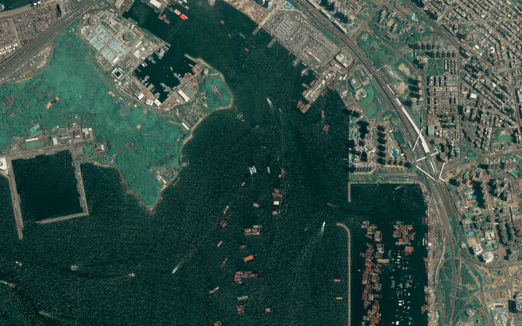
Monitoring maritime activity is of utmost importance for geospatial solutions from fleet management to dark vessel detection. But to build maritime surveillance solutions that offer accurate, timely, and actionable insights, we need the right data.
Understanding the benefits, overcoming the limitations, and leveraging the complementary nature of optical imagery, radar data, and AIS information is vital.
Join this webinar to:
- Get a blueprint from industry-leading developers for how to build your own maritime surveillance solutions.
- Gain a competitive advantage by understanding when and how to successfully bring together optical imagery, SAR imagery, and AIS data.
- Receive deep, technical insights into geospatial solution development, from data access to algorithm development.
What can you expect soon? 📦
Use UP42 For Free
We’re making it even easier to test out the UP42 platform. With a host of free data sources and compatible processing capabilities, you will be able to build full workflows, work with the Python SDK, and more without paying a cent.
Order Images From UP42
You will soon be able to order and purchase data directly from UP42 without running a job. You will be able to easily search for Pleaides and SPOT imagery for your AOI, select the image or images that you would like, and have it delivered directly into your user storage. It's that simple.
Cloud Masking
Our first cloud mask will soon be published on the marketplace. This cloud mask from OneAtlas can be applied to every OneAtlas data block, allowing you to quickly and easily add cloud mask information to SPOT and Pleiades imagery.
Weather Maps from Meteomatics
The Meteomatics Web Map Service (WMS) provides high-quality weather data in a spatial resolution up to 90m as georeferenced images. With worldwide coverage, based on industry-leading numerical models and enhanced by downscaling methods and station calibration methodologies, you can use the WMS imagery with confidence in their accuracy and reliability.
AIS Data Based on Vessel ID
If like many of our users, you’re building maritime surveillance solutions with UP42, you’ll love this new data block from exactEarth. Where AIS data on UP42 is currently only accessible based on area of interest, this new data block will allow you to access AIS information for specific ship vessels in real-time.
Are you excited about these new features, data sources, or processing capabilities? Are there other things that you'd like to see us deliver for you? Let us know through our feedback portal!
——————————
That's all, folks! Thanks for reading and see you back here just before Christmas, where we'll have a lot of nice UP42 feature-shaped presents to share 🎁


