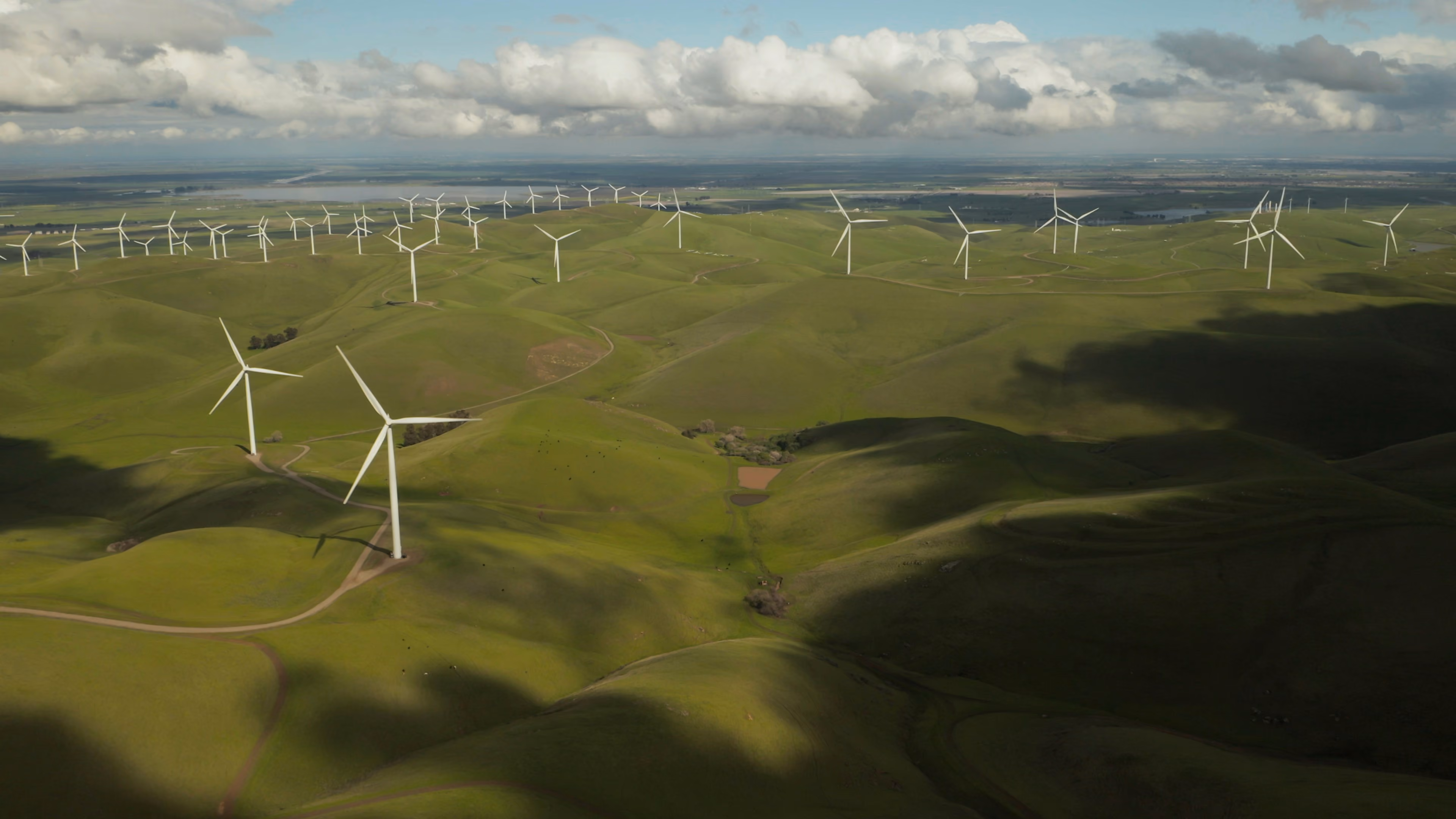
Wind farms: How to maximize their output with Earth observation data
Renewable energy is one of the most important methods for fighting climate change available to us. In a previous article, we examined how aerial data can help increase rooftop solar panel efficiency. This time, we’ll talk about using elevation data to optimize wind farm locations and layouts.
Some facts and figures on wind energy
The renewable energy market has grown steadily in recent years and is expected to reach 8,386.00 billion kWh in 2024 globally. With an annual growth rate (CAGR) of 4.22% from 2024 to 2029, wind energy adoption is increasingly driven by international agreements and national policies, guaranteed remunerations for wind farm operators (e.g., Germany’s Renewable Energy Act), and a proven and mature technology.
Wind energy has several advantages:
- It’s clean and renewable—wind is freely available, inexhaustible, and does not require burning fossil fuels.
- It drives economic growth by increasing investment, creating jobs (e.g., manufacturing, installation, and maintenance), and generating community revenue. Investing in local energy sources reduces a country’s energy dependency.
- Wind power is one of the most cost-effective energy sources—apart from the initial installation costs, operating costs are relatively low, and costs continue to decline due to technological advances.
- Wind turbines fit well in different types of landscapes, from farmland to coastal areas. And the land around the turbines can still be used for agriculture, farming, or other activities.
Reaching the full potential of wind energy, however, still requires significant investment, further cost reduction, and support with the identification of reliable sites. Choosing a suitable location for a wind farm is a complex process. EO data, particularly elevation data, can play a major role here.
Generated from remote sensing data collected by satellites, airplanes, and drones, digital elevation models (DEMs) are a raster grid of the Earth’s surface referenced to the vertical datum—the surface of zero elevation to which heights are referred. DEMs are segmented into Digital Surface Models (DSMs) and Digital Terrain Models (DTMs). DSMs capture natural and human-made structures such as vegetation and buildings, whereas DTMs capture features of the bare-earth terrain, such as rivers and ridges. DEMs can help select optimal site locations, improving physical and environmental suitability and overall project costs. Let’s explore some use cases:
- Wind power: The location of a wind farm is important to ensure optimal wind presence. Higher elevation terrains such as hilltops usually have stronger, more consistent wind, whereas valleys may channel wind for a more localized wind corridor. Downwind areas of mountains and hills however can reduce wind speed. Elevation data can also be used in wind flow models to simulate how wind moves over complex terrains.
- Wind turbine performance: Mountain ranges and hilltops can create wake effects, which in turn reduce downwind turbine performance. Complex terrain can increase turbulence and affect performance. Elevation data can be used to determine the best spacing and positioning to reduce turbulence and prevent wake effects.
- Yield prediction: By correlating wind speed with terrain elevation, the expected output can be calculated and energy yield optimized.
- Adherence to local regulations: Elevation values such as slope gradient, ridgeline locations, and elevation analysis are needed to determine visibility relative to the height above the terrain (viewshed analysis), allowing players to see how the farm would look from a particular point on the ground and whether it will be seen (e.g., from a somebody’s house)—critical for adherence to local regulations and ultimate project approval.
- Road accessibility: Then there are the construction and maintenance costs to be considered—usually higher in steeper slopes where road access is harder. DTMs can be a great solution for planning access roads and transmission lines and selecting sites that offer high wind potential and good access for building infrastructure around the wind farm.
- Safety: Paired with information on soil type from local survey maps, DTMs can be used to develop landslide hazard maps for areas with slopes, helping improve overall safety and meeting government regulations on landslide hazards.
- Environmental impact: Certain terrains with higher altitudes are sometimes more sensitive ecologically (e.g., wildlife habitats or migration paths). Paired with wind velocity and direction, tower height, and bird behavior data, elevation models can minimize contact between birds and wind turbines.
- Extreme weather: Higher elevations can be more prone to extreme weather or natural disasters, affecting turbine performance. Leveraging elevation and meteorological data, locations with more manageable weather conditions can be identified.
Elevation data on the UP42 platform
With UP42, you can access a vast collection of optical (satellite and aerial), SAR, hyperspectral, and elevation data from providers such as Airbus, Planet, Vexcel, Hexagon, BlackSky, Intermap, Umbra, and many more, all in one place.
Intermap, for example, is a global leader in 3D geospatial products and intelligence solutions. Intermap’s comprehensive, globally available NEXTMap® elevation data suite (DSMs and DTMs available in 1 m and 6 m resolution) offers high accuracy that enables more efficient project planning for renewable energy companies. NEXTMap® elevation data is available for all countries and locations worldwide, and recent satellite collections are utilized to ensure data is up to date.
With up to 1 m spatial resolution and a vertical accuracy of up to 1 m LE90, NEXTMap® offers very high resolution, showing terrain and surface features with great accuracy. Applications include exploration, assessment, and site development; slope, aspect, and contour map generation, cut and fill estimations; road and transmission corridor planning; environmental impact studies, and size visualization. Using Intermap’s elevation data helps renewable energy planners expand their areas of operations and execute projects quicker and more efficiently while staying within budget.
You can order Intermap’s archive data through the UP42 catalog and benefit from price estimates, free sample data, and scalable ordering (the catalog can process thousands of orders daily). The catalog gives you tools to easily draw rectangular and polygonal shapes, and upload KML, GeoJSON, and well-known text formats. You can customize your order parameters, assign custom titles and tags to orders, and track order status.
Once you receive your data, you can access it in your data management where it will be already standardized: UP42 leverages STAC and automatically converts data into a unified format (e.g., cloud-optimized GeoTIFFs). Use our map view to search, filter, and visualize your assets—for example, by using your order tags. Download or stream just the part of the file you need into Felt, QGIS, ArcGIS or other GIS of choice for easier downstream integrations.
Try out UP42 today
Whether you’re an API user or have a preferred GIS, we’ve got you covered: you can access the UP42 platform through the console, API, Python SDK, or ArcGIS add-in, or as mentioned above, simply copy a streamed URL into your 3rd party tools like QGIS. We have the platform, customer success team, and infrastructure to help you meet your project requirements and we will accompany you every step of the way. Got a question about your use case? Reach out—our team would be happy to help.
Header image: Photo by Tyler Casey on Unsplash


Subscribe to our newsletter
Stay up to date and learn about our fast-growing new features
