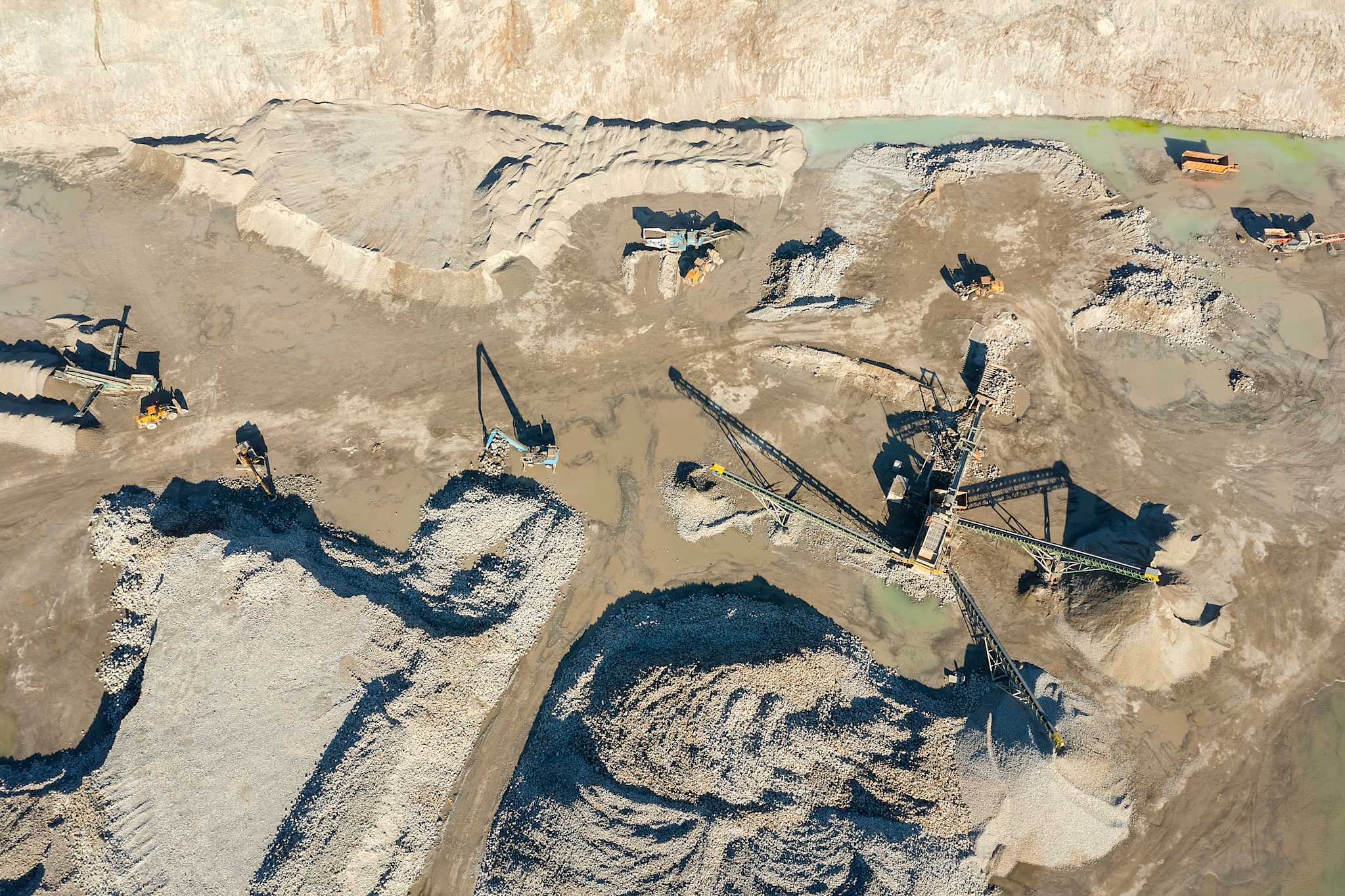
A lack of updated and reliable imagery
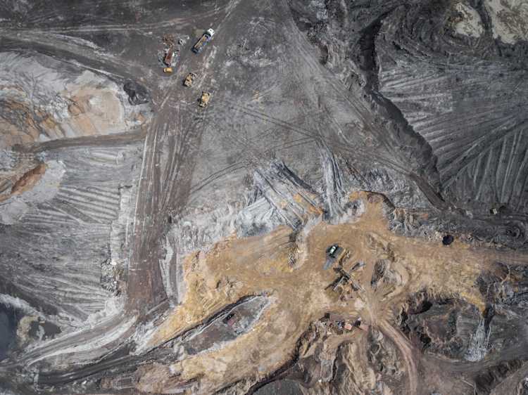
Most mining sites are in remote locations, where it's hard to fly planes and collect aerial/LIDAR data.
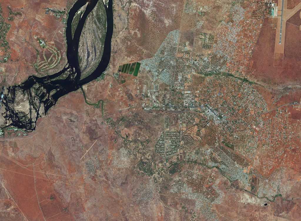
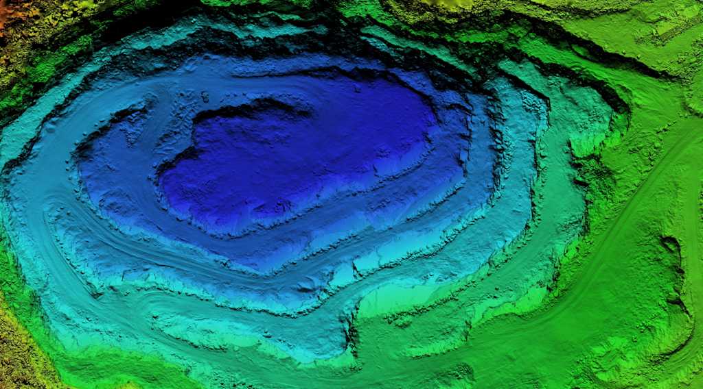
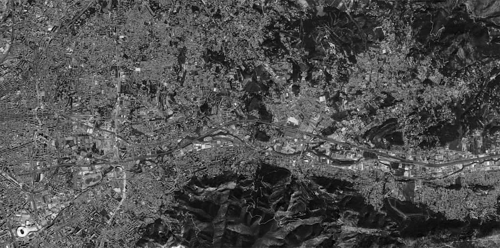
UP42 offers easy access to high resolution satellite imagery, elevation models, and hyperspectral data.
Most mining sites are in remote locations, where it's hard to fly planes and collect aerial/LIDAR data.
Large amounts of time and resources are spent on managing relationships with different data providers.
Different teams can lead to a lack of centralization, causing duplicate orders and missed opportunities for savings.
Many professionals in mining aren’t geospatial experts. They need data that’s easy to find and use—without having to stay on top of the latest trends.
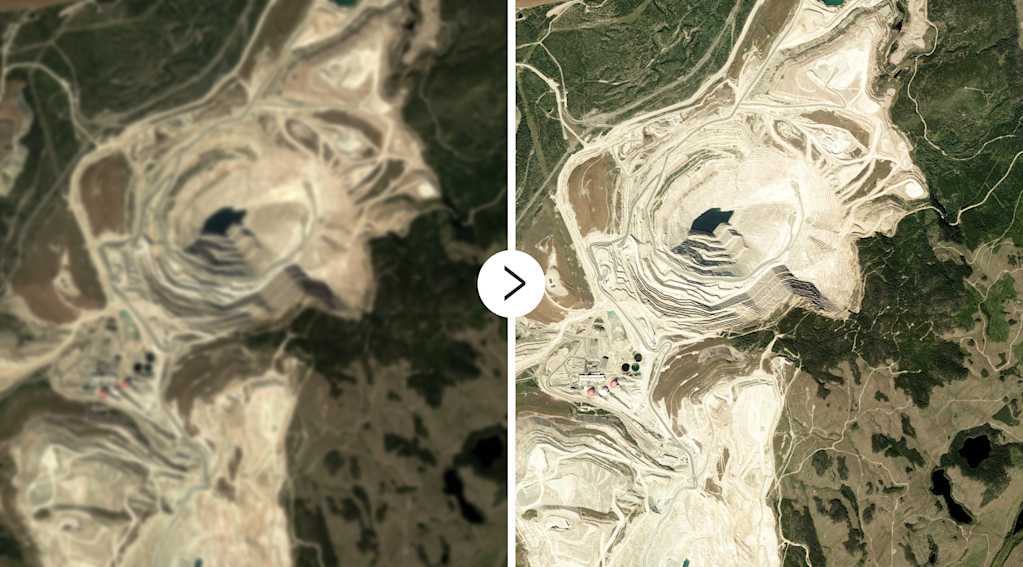
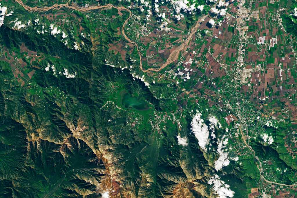
Some of the world's biggest mining companies get their data from UP42. Access high resolution optical imagery, digital elevation models (DEMs), hyperspectral imagery, and much more with UP42.
UP42 platform
We offer a comprehensive selection of data and processing capabilities, tailored to meet diverse industry needs.
For accurate terrain and surface insights
Includes stereo and tri-stereo acquisitions for 3D analysis
Captures rich spectral data for advanced analytics
Reliable all-weather, day-and-night monitoring
Adjust data outputs to fit your workflow
Cost-effective options for tip-and-cue strategies
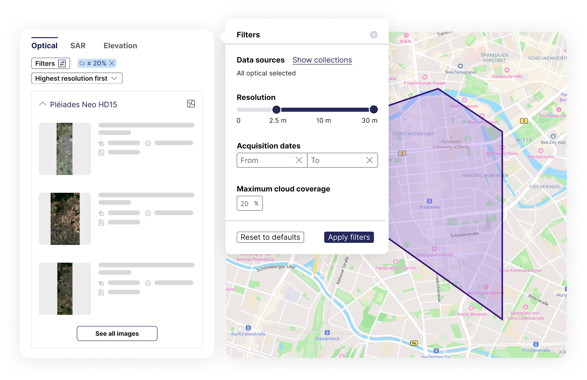
Order imagery from top providers, with options for different resolutions, acquisition modes, and processing levels. Our catalog keeps growing, so you’ll always find the right data for your needs.
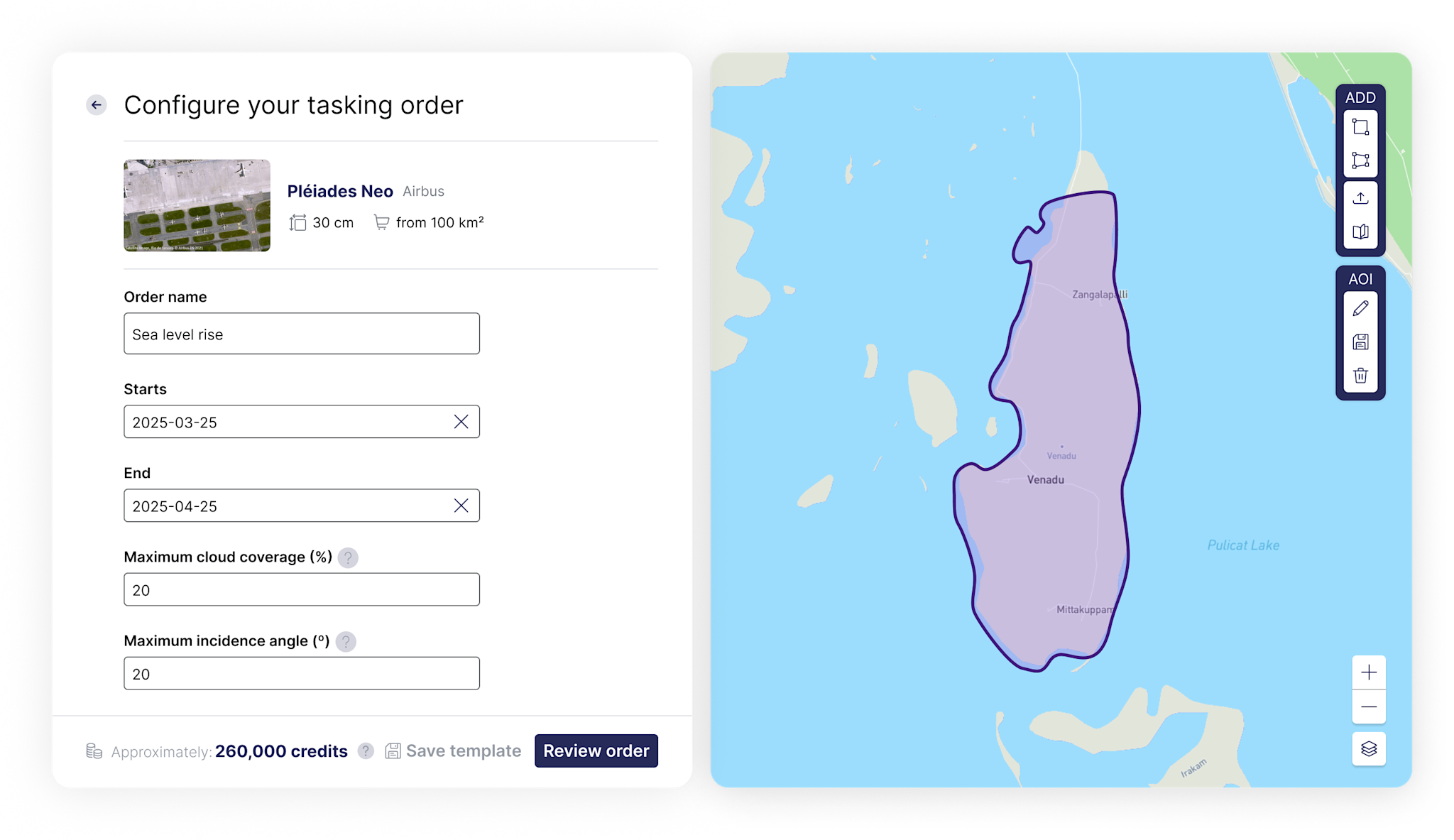
Task satellites to capture exactly what you need, where you need it. Get feasibility checks, pricing, and order tracking—all in one place, without the usual email chains.
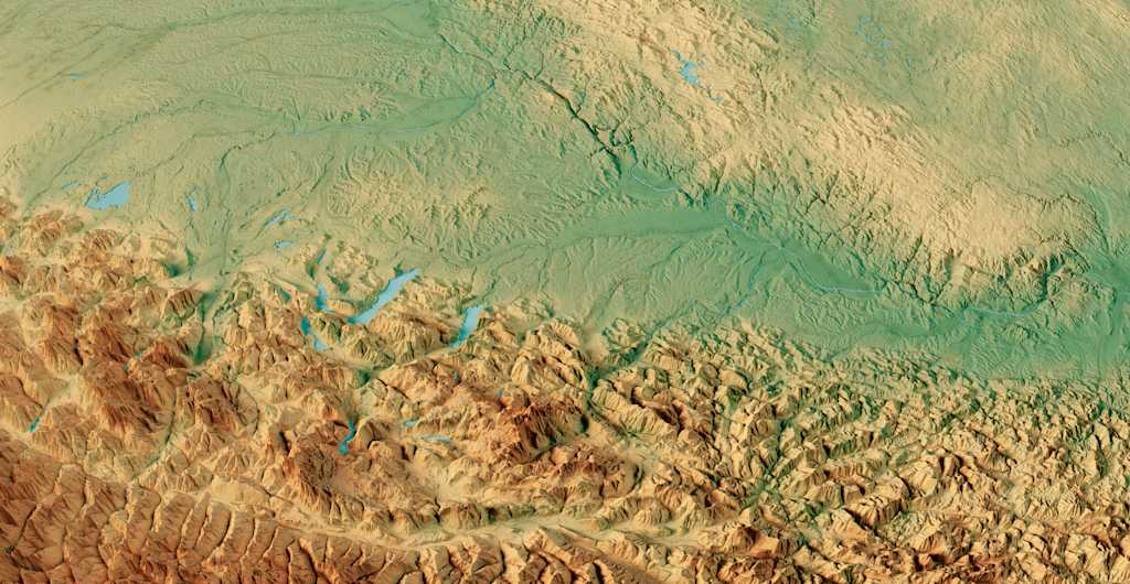
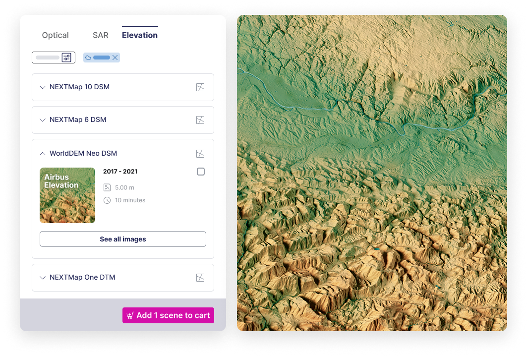
Access the latest Digital Elevation Models from Airbus, Vexcel, Intermap, and more. Need something specific? Task new DSMs and DTMs to match your project’s requirements.
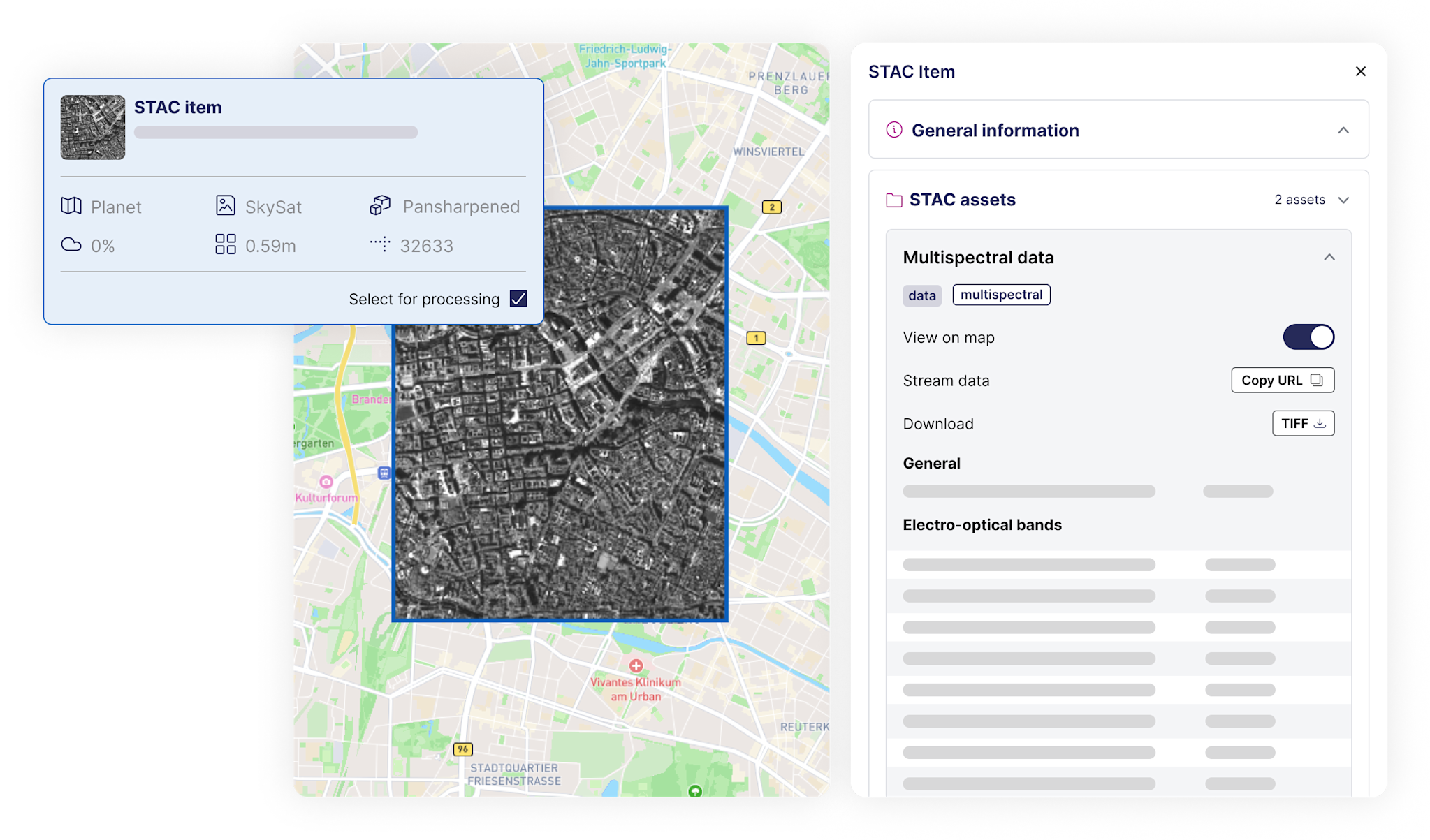
Mining projects often require custom processing. Pick the level that fits your needs and integrate the output seamlessly into your workflow—no extra hassle.
Book a demo with us
