What’s new
Release notes
Keep up with the latest releases and improvements.

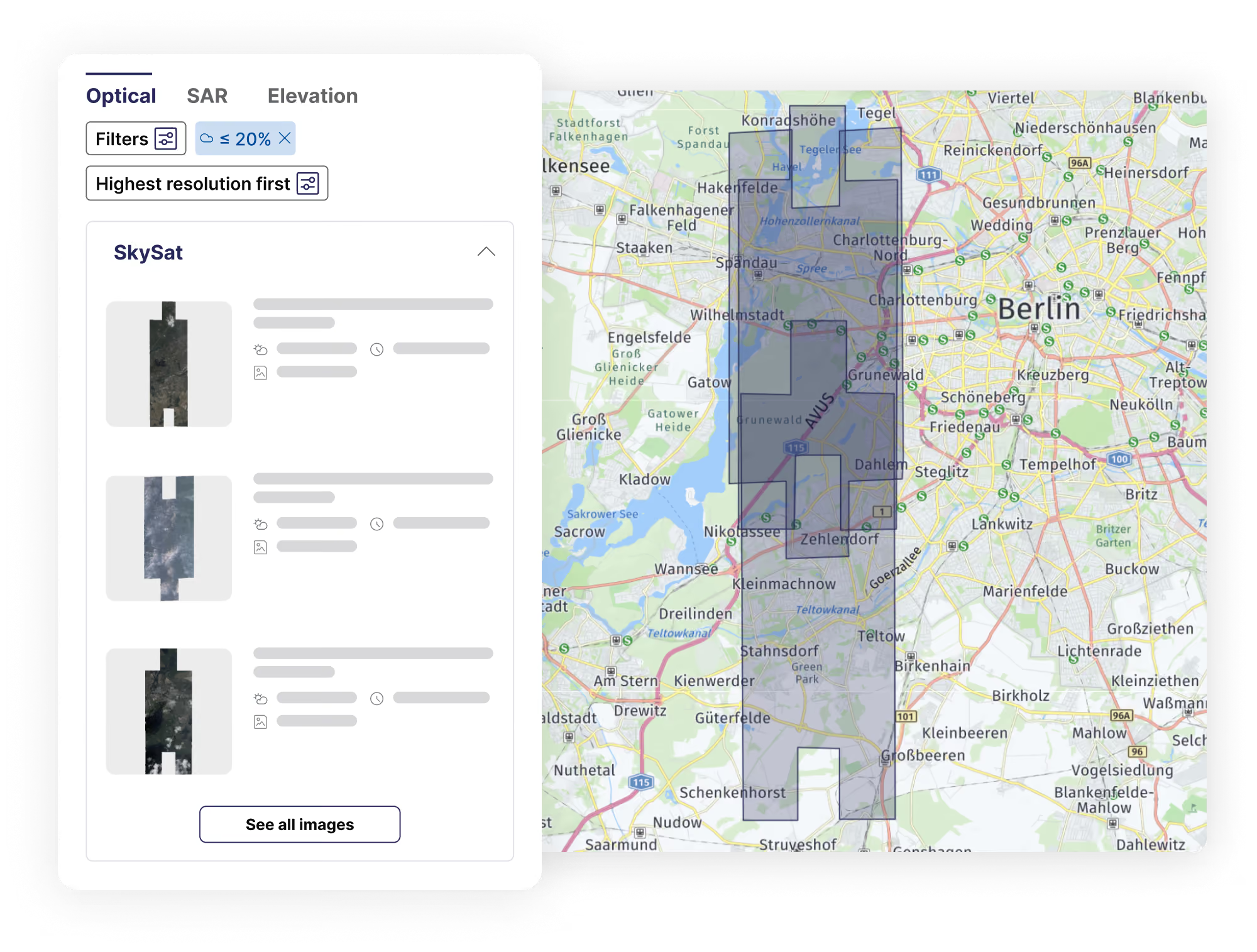
Preview multiple footprints simultaneously in the catalog
Easily explore all available scenes for your AOI when searching archive imagery from a specific provider. View multiple scene footprints at a glance to streamline your search and selection process.
What's next? The option to view multiple previews alongside the footprints, making your workflow even more efficient.
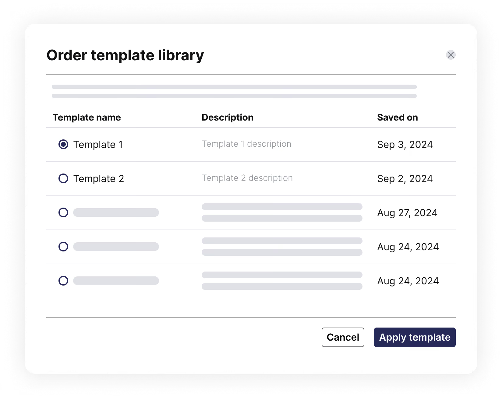
Save tasking order parameters as templates
If you’re placing multiple tasking orders with the same parameters, we’ve made it easier for you. You can now create and save order parameters as templates, then reuse them for future orders. These templates are associated with a specific collection and can include parameters like cloud cover, processing level, incidence angle, etc.
This feature simplifies your tasking process, saving valuable time and effort when placing complex orders. Additionally, the template library can serve as a reference point for your organization, allowing multiple members to leverage saved templates for various use cases and needs.
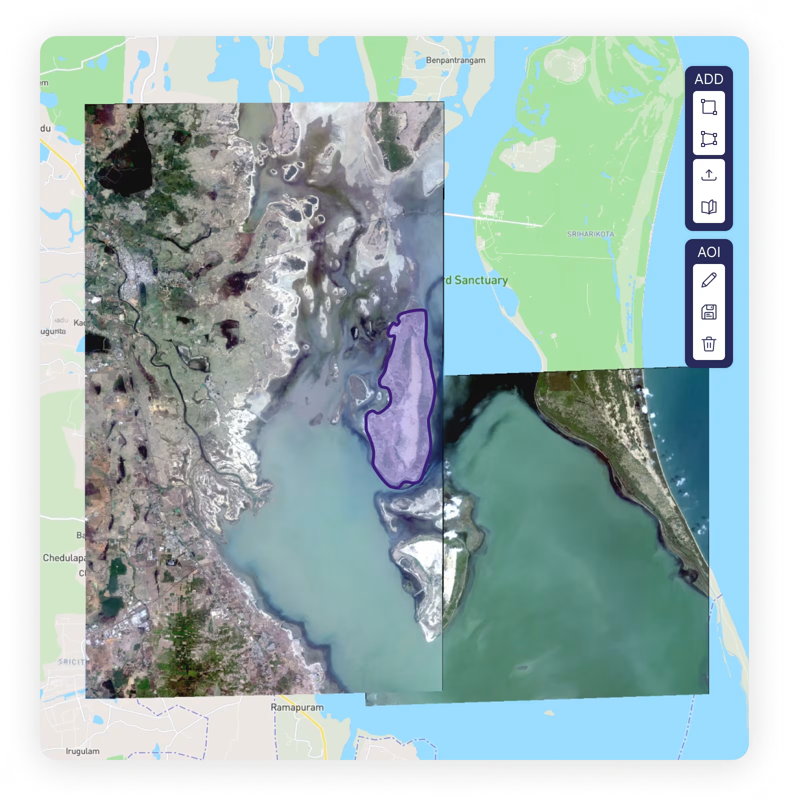
We're upgrading to Mapbox!
We are thrilled to announce the integration of Mapbox into the UP42 platform, enhancing your experience with more intuitive and visually engaging maps. This initial rollout impacts static maps across the console, including key areas like order details (catalog and tasking), asset details, and STAC item lists/ details in data management.
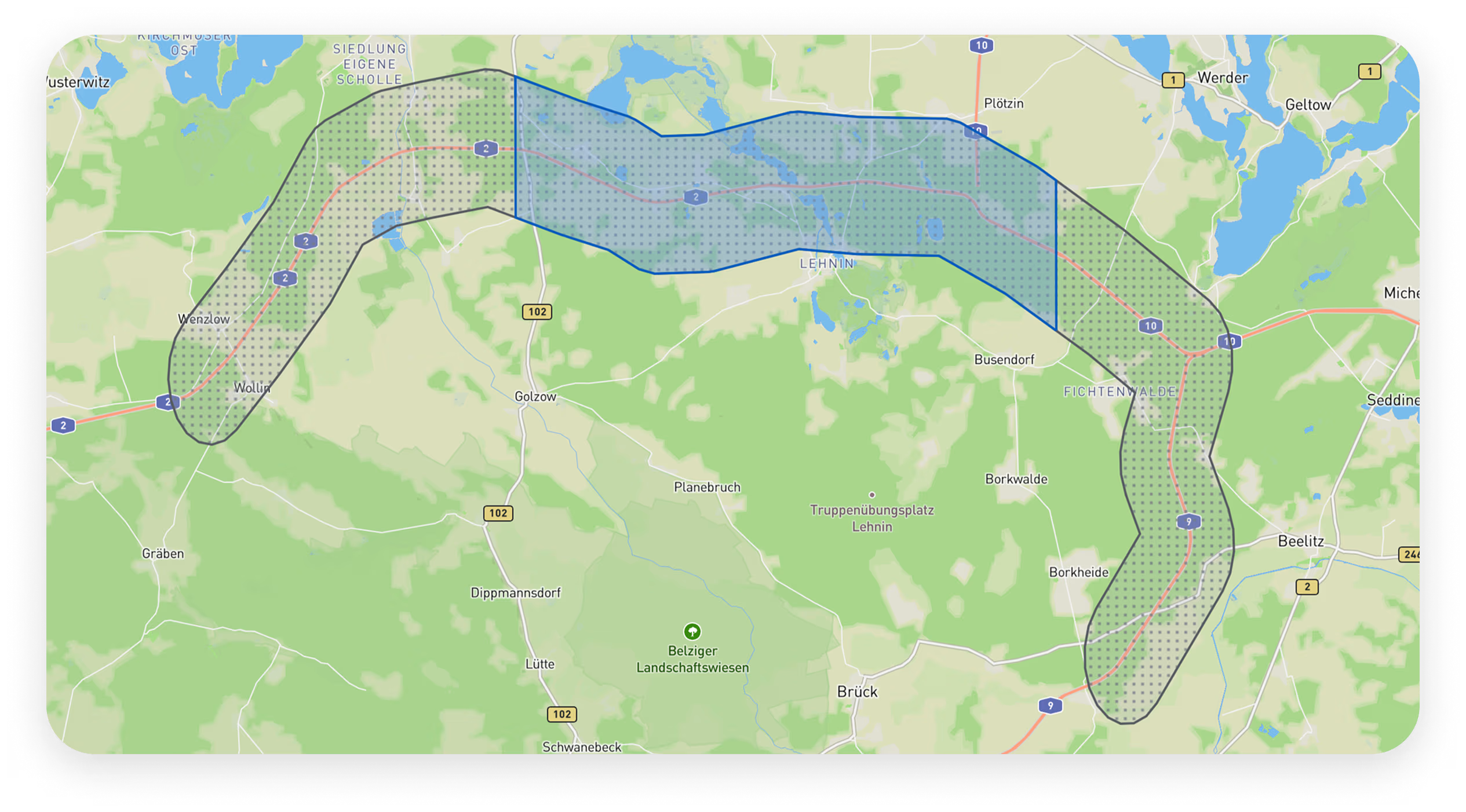
Take a look at a tasking order example below to see the new colors in action: a gray polygon or point marker now indicates the ordered geometry, whereas a blue polygon indicates the footprint of the acquired assets.
Stay tuned for future updates to our dynamic maps!
Planet's frequent-revisit, very high resolution satellite data now available on the UP42 platform
We have significantly expanded our optical data portfolio with the integration of Planet SkySat, the world’s largest constellation of high resolution Earth observation satellites. With 15 SkySat satellites in orbit, Planet offers one of the most frequent revisit capabilities in the commercial sector, capturing insights multiple times per day at 50 cm resolution.
You can now access Planet's high resolution, high cadence data, including sub-daily collections in some areas. Ordering Planet's data through our platform also means you benefit from advanced tasking automation, harmonized data formats through STAC, scalable API ordering and processing of both archived and new images.
Order archive SkySat imagery or task a satellite.
Read our press release or find out more about the partnership here.
Introducing Wyvern: hyperspectral satellite imagery now available on UP42 tasking
We’re proud to announce Wyvern as our first-ever hyperspectral partner.
Their Dragonette-1 hyperspectral images are acquired by a medium resolution (5.30 m) optical satellite every 2 days anywhere on the globe. They offer a whopping 23 spectral bands, for detailed analysis of crops, oil well and mine reclamation, and plenty of other cool use cases.
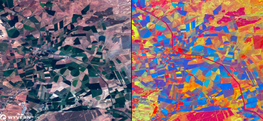
Task Dragonette-1 on the UP42 platform now or check out our documentation for more information.
Explore the UP42 platform
Create an account to order, access, and analyze geospatial data.
