What’s new
Release notes
Keep up with the latest releases and improvements.

Enhancing user experience with a refreshed catalog design
We are delighted to unveil UP42's refreshed catalog User Interface (UI) design. This visual revamp enhances the discoverability of available collections, marking another step in our ongoing efforts to simplify the process of unlocking the potential of geospatial data.
Key features include:
- A new sidebar view, grouping data by collections (optical and non optical) and resolution (very high, high, medium)
- New grouping functionality (e.g., by resolution)
- A new
Search this areaview, updating the scenes for the chosen AOI

Our goal is to make every interaction as seamless as possible, so we will continue to improve your experience with UP42's catalog.
Asset details for every single asset in UP42 storage
We now provide you with an asset details page for every single asset in UP42 storage that has a valid STAC collection. Click on your asset to see the asset geometries of all scenes on a map, get information on product configuration, type of data and modality, or manage custom titles and tags given to your assets.
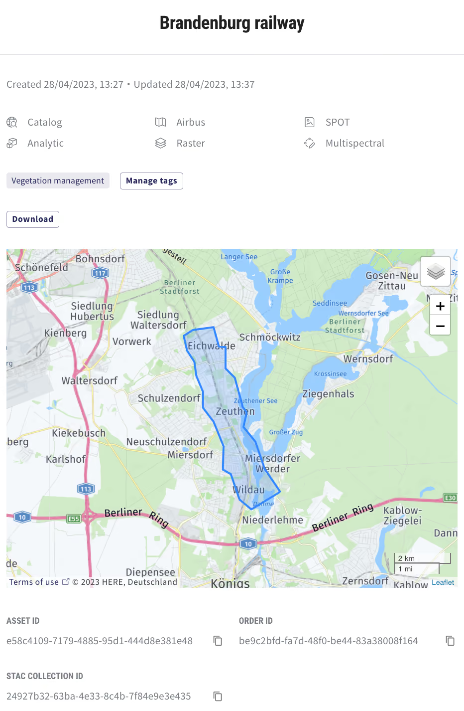
This makes it easier for you to validate the geometries delivered for tasking and archive orders. You can also find an adapted SDK/ API code snippet to access and download assets, and integrate them into your pipeline.
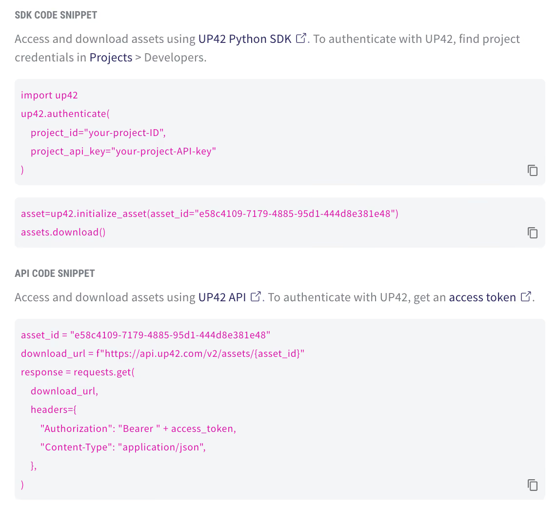
Check out our new storage features.
Place multi-geometry tasking orders on the console
You can now place tasking orders containing multiple geometries through the console. When you upload a geometry file that contains multiple features, the individual geometries will be detected, split, and marked as separate items. When you submit the order, each geometry file will be created as a separate order in our system. The order configuration will be cloned for all orders, saving you the hassle of placing multiple orders for different geometries.
Place your tasking order through the console.
Sentinel-2 now available on API and console
You can now access open data directly on the UP42 platform. Sentinel-2 is an Earth observation mission from the Copernicus Programme by the European Space Agency. Access to Sentinel data is free. Its imaging satellites carry wide swath multispectral sensors with 13 spectral bands, acquiring optical imagery at a spatial resolution of 10 m to 60 m over land and coastal waters. The mission provides global coverage and a 5-day revisit rate.
Place your order through our console or via our API.
Hexagon’s aerial data program now available on API and console
Before we head into the well-deserved Easter break, we have some exciting news to share. We now have aerial data from Hexagon on the UP42 platform. The HxGN Content Program offers a large library of RGB imagery with 15 cm and 30 cm GSD in GeoTIFF across North America and Europe.
You can find coverage for all three products in our technical documentation or see our marketplace for more information.
Explore the UP42 platform
Create an account to order, access, and analyze geospatial data.
