We recently introduced a new processing algorithm on the UP42 platform: change detection by Simularity. The algorithm coregisters two images from any sensor (or two different sensors), first geographically aligning them, and then detecting any changes between them. Let’s dive into the benefits and see some examples.
How does the change detection algorithm work?
The algorithm is built on Simularity’s AI-driven temporal change detection system. It uses multimodal geospatial data to identify and classify unusual changes.
By applying a rigid-body transformation to the source image, the algorithm minimizes noise caused by misalignment, ensuring that only true changes are detected.
After alignment, the algorithm detects changes between the images. Coregistering the images first improves the algorithm’s performance and differentiates it from others. The output is 3 GeoTIFFs: the coregistered source images, a change probability map of detected changes (in true colour), and a change likelihood heatmap that uses a blue to red scale, with warmer colors (yellows, oranges, and reds) showing a higher likelihood of change. We show some examples of these outputs later in this article.
To ensure optimal performance, both STAC items have matching geometric and radiometric processing levels, and the ground sampling distance of the two STAC items should not differ by more than 25%.
The algorithm is trained to differentiate between different types of changes. It will show local or non-pervasive changes, such as new objects or buildings, or missing objects (when trees in a forest have been cut down, for example).
It will ignore pervasive changes which impact the whole scene, such as the movement of shadows throughout the day, or naturally occurring vegetation changes over time (moisture levels, trees shedding leaves, and so on).
What pain points does it solve?
This one is easy. Conducting change detection using manual analysis is slow, expensive, and most importantly, difficult to scale. With this algorithm, you can drive cost savings and improve reliability by prioritizing areas of interest where change has been detected.
Let’s look at some examples as outlined by Simularity:
- The need to cover vast areas and/or huge volumes of data: Accurately monitor and process large areas and many different images that would be impossible to cover manually, pinpointing changes without the need for human intervention.
- Lack of automation: Scan and flag changes in real time with an automated approach, getting immediate alerts and allowing for timely intervention where needed.
- Limited analyst resources: Free up your team to focus on critical changes rather than sifting through huge amounts of data.
Find out more here.
What are the use cases?
As hinted in the examples above, the change detection algorithm can be used for vegetation management, urban and land use planning, construction, fire risk estimation, and infrastructure monitoring, among other applications.
- Vegetation management: Monitor forest health and density by analyzing spectral similarity, identifying areas affected by disease or wildfires, tracking deforestation, and guiding policy making.
- Infrastructure monitoring: Changes in ground movement or damage to roads, railways, pipelines, and other infrastructure can be detected, helping identify risks and improve safety, as well as prioritize recovery efforts in cases of disaster.
- Urban planning: The algorithm can also help analyze the changes in buildings, roads, and other structures, assess the impact of new developments, detect new or illegal construction, and help planners understand how a city is changing for more informed decision-making.
- Construction: Monitor construction sites and progress, detect changes in equipment location or piles of materials, or identify security risks.
- Land planning: Track changes in land cover, such as the conversion of forest to agricultural land, to improve environmental protection.
- Fire risk: By detecting areas of dry or dead vegetation, the algorithm can better predict high-risk areas, as well as support the monitoring of burned areas and recovery efforts.
Why run change detection on the UP42 platform?
- Accuracy: The algorithm gives you precise results, so you don’t have to worry about analyzing all available imagery. Users can also tweak the algorithm’s sensitivity, allowing for more tailored change detection based on their needs.
- Standardized input: UP42 leverages STAC and cloud-native formats to harmonize data from different sources, so your input and output are always standardized.
- Scalable processes: You can process as many compatible scenes as you want; we will automatically detect compatibility for you. Using the UP42 infrastructure also means you do not need to set up and maintain your own.
- Platform usability: Order and process your data, visualize your results, download or stream in ArcGIS, QGIS, or other GIS of choice—all on the platform, in several clicks.
- Collaboration: We take a flexible approach to our platform, allowing us to integrate your feedback and specific requests to continuously enhance our processing capabilities.
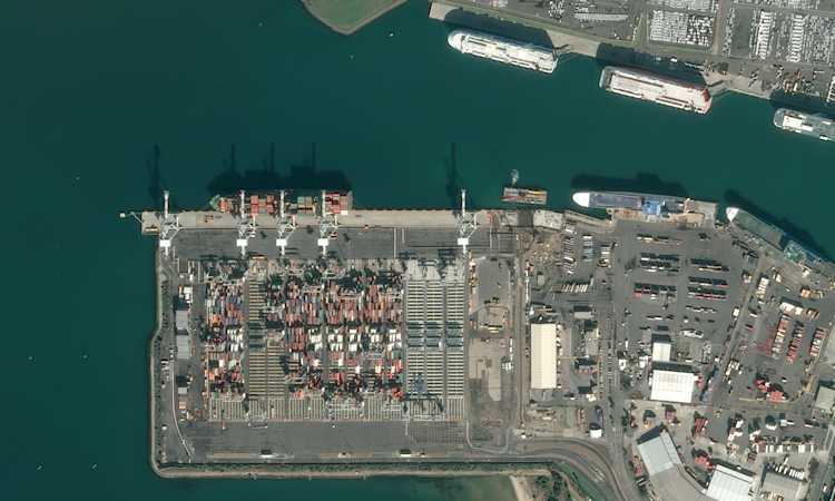
Below is an example on 2 Airbus images on the UP42 platform.

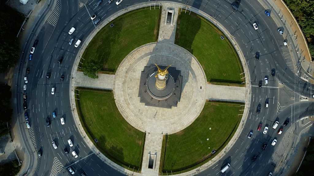
Or, if it’s easier, take a look at the image examples below:

Go ahead and try it out, or reach out to our Customer Success team if you have any questions.


