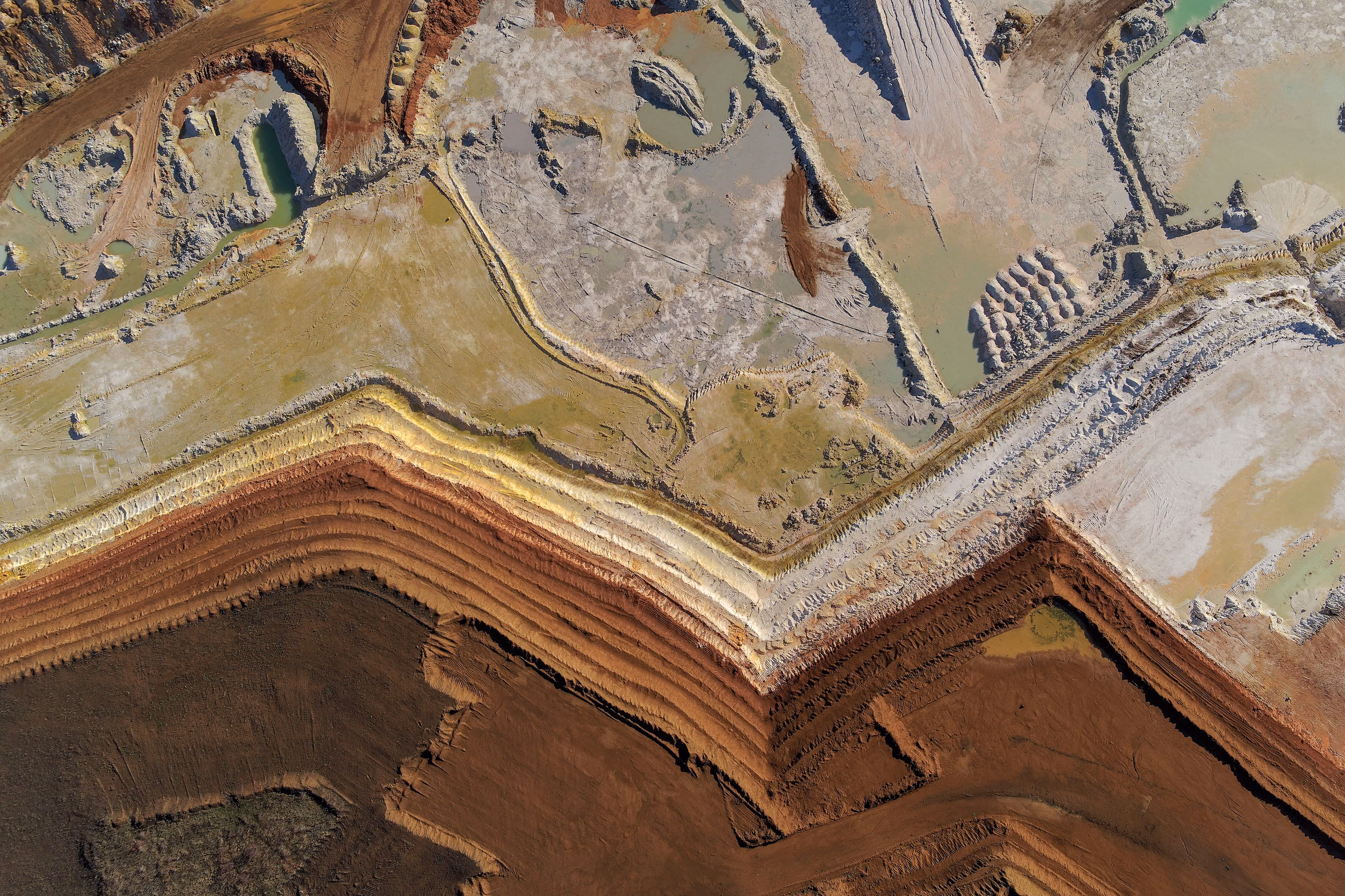
BlackSky Gen-3: 35 cm spatial resolution and high-cadence tasking

Last week, we added access to BlackSky’s Gen-3 tasking to the UP42 platform. This update brings you 35 cm resolution optical data, high revisit rates, responsive last-minute tasking, and rapid collect-to-delivery latency. For teams working on time-sensitive monitoring, this addition primarily affects how quickly and reliably new data can be acquired.
Let’s take a closer look at what distinguishes Gen-3 satellites and how they can be tasked directly on the UP42 platform.
What changes with Gen-3?
BlackSky’s Gen-3 constellation consists of 4 satellites launched into mid-inclination and sun-synchronous orbits. Compared to Gen-2, Gen-3 is superior in terms of detail and speed.
- Higher spatial detail: Gen-3 offers 35 cm resolution and enhanced image quality, making it easier to classify objects such as vehicles, vessels, and aircraft in greater detail, as well as monitor infrastructure changes.
- Higher collection capacity: Beyond improved resolution, the satellites can capture more areas of interest during a single pass, increasing the likelihood of order fulfillment.
- Faster response and delivery: They also offer multiple revisits per day, last-minute tasking, and rapid collect-to-delivery latency. When combined with the existing Gen-2 constellation (16 satellites in total), the result is a high-cadence monitoring environment.
The combination of very high resolution and increased satellite agility creates a more predictable environment for time-sensitive monitoring. Higher spatial detail reduces classification ambiguities, allowing for more accurate identification of objects or structural changes without relying on secondary validation sources. With the increased daily collection capacity and faster revisit rates, feedback loops are significantly shorter.
This is particularly relevant for high-cadence monitoring schedules, such as tracking daily construction progress, port activity, or coordinating rapid disaster response. It also provides the consistent visibility needed for infrastructure and energy projects, from monitoring encroachment along pipeline corridors to detecting anomalies at oil and gas facilities.
While BlackSky Gen-3 supports a variety of lighting conditions, our current offering on the platform focuses specifically on daytime tasking.
Tasking Gen-3 via the UP42 platform
Satellite tasking often involves navigating offline feasibility studies and managing non-standardized delivery formats. The UP42 platform makes the tasking process easier by removing those obstacles.
Integrated planning and quoting
The UP42 platform allows you to manage the entire tasking journey, from price estimation and feasibility to final delivery, within a single interface. You can also evaluate available tasking time slots in advance and accept quotes in bulk.
Unified project tracking
The map view gives you visibility into the progress of all active projects. You can monitor the exact footprints of acquired scenes, tracking the delivered square kilometers versus those still pending. For long-term monitoring, you can schedule recurring captures, eliminating the need for manual order placements.
Standardized deliveries
Gen-3 data is delivered in a STAC-compatible, cloud-optimized format (COG), making the imagery ready for immediate ingestion into processing pipelines or GIS environments. Use the UP42 API or Python SDK to automate tasking orders for large-scale monitoring projects.
Try it out for yourself
The glacial pace of implementating Earth observation workflows often blocks companies from getting results fast. By removing the steps that slow down project timelines, and standardizing the procurement and delivery of BlackSky imagery, the UP42 platform allows you to focus on the technical data output rather than the logistics of satellite tasking.
You can task BlackSky Gen-3 here.


Subscribe to our newsletter
Stay up to date and learn about our fast-growing new features
