Bringing your geospatial operations together: Introducing UP42 Enterprise
When an organization first uses Earth observation data, the workflow is usually project-based: a single team buys imagery for a specific problem. But today, we see geospatial data moving from isolated projects to core operational infrastructure.
This is where we see a familiar pattern: as EO data becomes foundational to daily operations across business units, managing it like an occasional project creates bottlenecks. Without a centralized strategy, this shift creates delays in procurement, budget oversight, governance, and data delivery.
We designed our Professional plan to handle project-based needs. But to run geospatial operations as a reliable corporate infrastructure, you need a centralized operational foundation. Built on years of close collaboration with our largest global customers, UP42 Enterprise delivers this foundation. By unifying data access, budgeting, and corporate governance, we handle the supplier and administrative complexity so your organization can focus entirely on the results.
Connecting infrastructure at every level
UP42 Enterprise builds on our core platform foundation: eliminating data supplier fragmentation by giving you access to the world’s largest geospatial repository in one place. With a single master contract that reduces procurement cycles from weeks to hours, teams get satellite, aerial, elevation, LiDAR, and proprietary data in one place. And with data access taken care of, the Enterprise plan introduces the financial, technical, and governance layers required for building scalable corporate operations.
Centralizing spend and financial governance
When organizations are forced to forecast data usage months in advance, they lock up capital and can face project delays when running out of pre-paid credits.
To solve this, UP42 Enterprise introduces a flexible post-payment model that aligns your data spend with your corporate billing cycles. Teams can order data and execute large-scale projects immediately, receiving a single, consumption-based monthly invoice and detailed transaction logs directly within the UP42 console.
Learn more about monthly billing
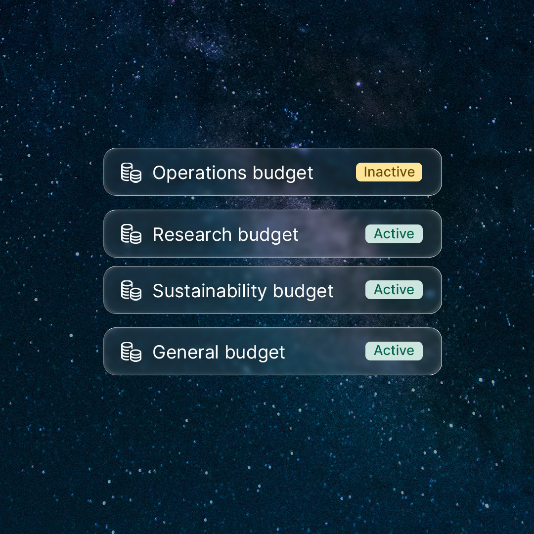
This flexible purchasing is backed by centralized financial controls designed for strict budget oversight. From a single master account, account admins can instantly distribute pre-approved budgets and enforce usage limits across multiple departments or international sites. Whether you’re coordinating budgets for regional utility corridor monitoring, tracking international mining exploration, or mapping oil and gas pipelines, mapping spend to specific business units, projects, or PO numbers simplifies end-of-month financial reconciliation.
Learn more about budget management
Adding on-demand streaming to your workflow
Technical bottlenecks also happen after data delivery. Massive imagery files must be manually downloaded, unzipped, and re-hosted before they can be viewed across teams. This causes storage overhead and access delays.
UP42 Enterprise reduces this friction with data streaming via Web Map Tile Service (WMTS), enabling teams to visualize imagery directly in internal applications and standard GIS software such as ArcGIS Pro and QGIS.
Engineering teams can still use the API and Python SDK to automate large-scale data acquisition when files are needed for analysis, processing, or integration into downstream algorithms. But for visualization workflows, WMTS allows data teams to skip manual file handling and stream standardized imagery directly into their existing tools. Operationally, multi-site teams can view new imagery faster without waiting for local data ingestion. For example: a utility manager or mining surveyor can overlay a recent satellite acquisition onto existing cartography to inspect changes.
Find out more about data streaming
Governance and strategic support at scale
Operating at scale demands rigorous compliance. UP42 Enterprise provides the tools required to protect sensitive operations, manage licensing agreements (EULAs), and maintain strict risk control. Backed by independent SOC 2 Type II audits and a privacy-by-design architecture, the platform aligns with strict corporate security policies and global GDPR obligations.
To further support these workflows, we’ve introduced a four-tier user role hierarchy. This allows organizations to separate high-level financial administration (managing user seats, credit allocation, and billing) from daily operations (creating orders and running jobs), while providing read-only access to broader stakeholders.
Because complex projects also require human alignment, the Enterprise plan pairs your team with a Customer Success Manager. Enterprise customers receive dedicated support, priority technical assistance, and structured business reviews to help plan, deploy, and scale operations more effectively.
The next step in geospatial maturity
UP42 Enterprise represents years of deep industry experience and research alongside organizations running demanding geospatial programs.
This plan brings together procurement, financial control, governance, streaming, and strategic support to help organizations scale geospatial operations with greater consistency and control.
Ready to bring your geospatial operations together?

Subscribe to our newsletter
Stay up to date and learn about our fast-growing new features
