As any geospatial analyst knows, finding the perfect image is one of the most challenging parts of any analytics project. Both the availability of an image which covers the entirety of your area of interest (AOI), and high cloud cover or the incidence angle of those images can hinder analysis. When there isn’t a uniform image available, analysts must mosaic a number of images together.
This previously meant purchasing and downloading a number of overlapping images before leveraging tools, such ArcGIS, to create a single, uniform raster image.
This process is now a thing of the past! We’re pleased to offer our intuitive, Jupyter notebook-based mosaicking functionality. Given your AOI, chosen satellite, required cloud cover, and date range, UP42 will compile the optimal list of archive images, access that imagery, and create a single, uniform GeoTIFF.
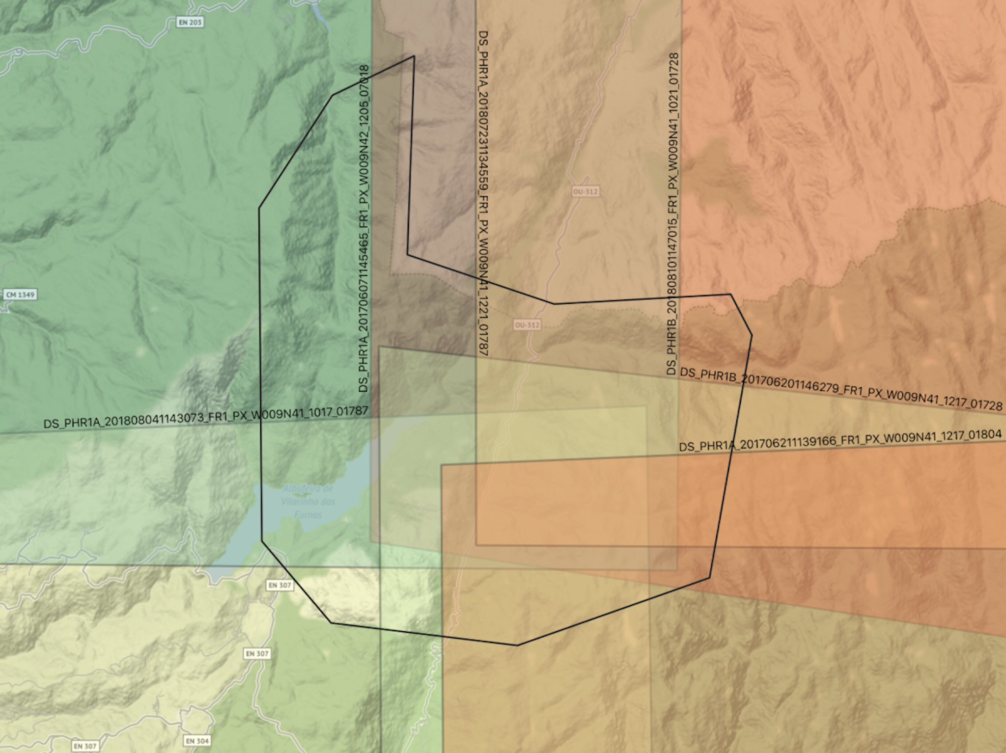
 Individual images (top) and final mosaic image (bottom) for N Portugal, a section of the Peneda-Geres National Park.
Key Features
- Minimizes image overlap so you only pay for the data you need
- Built on top of UP42's Python SDK
- Ready-made Jupyter notebook with interactive widgets
- Automatically creates an optimized mosaic
- Works with both Pleiades and SPOT imagery
How Does it Work?
Built on top of the UP42 Python SDK, an interactive Jupyter notebook intuitively runs you through the process. After providing your requirements, you can run jobs on UP42 to download and automatically mosaic your image, which is then available to download directly as a GeoTIFF. While previously, you had to pay for overlapping images to ensure consistent, high-quality coverage, UP42 allows you to purchase and access only the area required for each individual archive image. With the ability to combine tens, or even hundreds, of separate archive images, image overlap is minimized, ensuring that you simply pay for the AOI you need for analysis.
Easy Setup
Setup takes no more than a couple of minutes. You must simply install the necessary packages, set up their virtual environment, and authenticate their UP42 account in our template Jupyter notebook to begin.
Set Requirements
 AOI: N Portugal, section of the Peneda-Geres National Park. Basemap: Stamen Terrain.
The notebook walks you through a number of steps that collect your search parameters. Parameters, such as minimum section area, maximum incidence angle, cloud coverage, are used to determine the optimal configuration of images for your mosaic. Additionally, users must choose whether to access SPOT or Pleiades Download imagery.
Review Images and Estimate Cost
 Individual mosaic images
Within the notebook, you are able to run test queries and get an estimate of the number of credits required for the analysis before committing to purchasing the mosaic image. UP42 includes only a small buffer in archive images to prevent data gaps and ensure a clean, uniform image is provided.
Access Images and Create Mosaic
 Catalog search results in AOI: Scenes covering the AOI in 2017 to 2018 with <1% CC (cloud free). 6 scenes are returned (left) and Optimization results: 4 scenes optimally cover the AOI with a 20m overlap (right)
Finally, you can trigger parallel jobs that access the SPOT or Pleiades images that are then automatically mosaicked and saved as a GeoTIFF in an output directory determined by you.
This image can be stored in AWS or Google Cloud. To copy it into your Google Cloud bucket, you can use the following command:
gsutil cp my_new_folder/mosaic/mosaic.tif

gs://mosaic-geotiff-data/europe/portugal/
This can then be brought into the UP42 platform for further processing. With just a few parameters, you can bring your mosaic into UP42 from Google Cloud Storage or AWS:
{
  "geotiff-custom:1": {
    "cloud_provider": "gcs",
    "bucket_name": "mosaic-geotiff-data",
    "prefix": "europe/portugal/",
    "filenames": [“mosaic.tif”],
  }
}
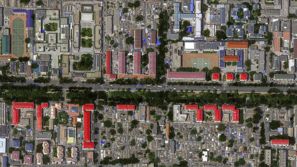
Final mosaic result for given AOI
Get Started
Sign up for UP42 today and get 10,000 credits to build your first optimized mosaic with our mosaicking tool. Alternatively, you can even try out the tool in your browser.


