Precision tasking, collection updates, and more

Summer has officially arrived (at least in the Northern Hemisphere), and we've been busy expanding tasking capabilities, onboarding new aerial imagery partners, and making it easier to discover and process geospatial data.
Let’s start with…
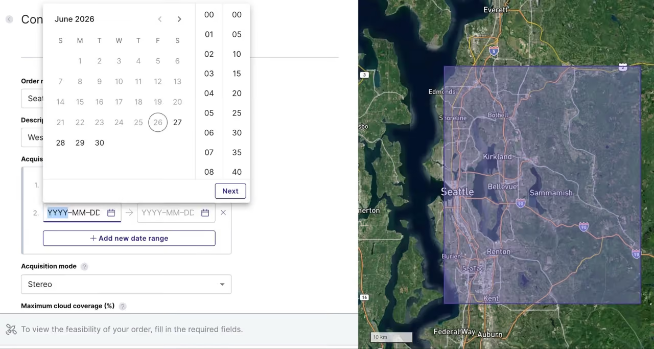
Time-of-day tasking for greater precision
Need an image captured early in the morning? Or late afternoon? Now, along with choosing date ranges for tasking orders, you can also choose the exact time of day.
This is especially important for constellations with high revisit rates, like those offered by BlackSky and Umbra, and a further step towards enabling rush tasking capabilities for time-critical use cases like disaster response and defence/national security. Try it out now.
Extreme detail: Aerial data from IO Aerospace
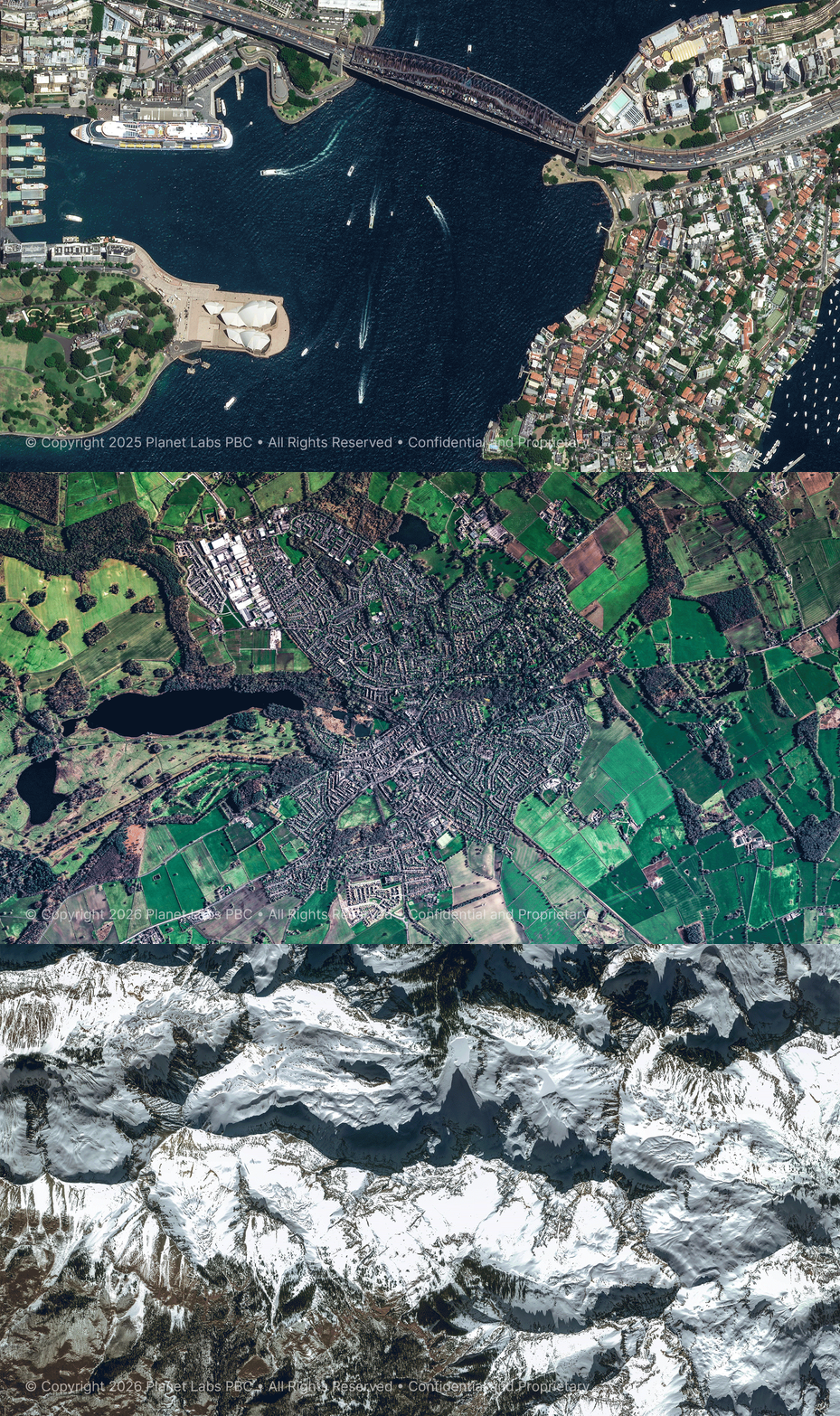
UP42 now offers very high resolution aerial imagery from IO Aerospace, making it easy to discover, task, and incorporate aerial data directly into your existing geospatial workflows and analytics pipelines. IO Aerospace delivers 10 cm native resolution RGB and NIR imagery with fast, wide-area coverage, capturing up to 10,000 square kilometers in a single flight.
We talked to IO Aerospace’s president about their offerings and learned about their specially modified jet. Read the full interview here.
Pelican & Skysat satellites, pouched together
Planet's next-generation Pelican satellite constellation offers 50 cm imagery and multiple daily revisits, and is now available for tasking on the UP42 platform. Pelican satellites are also fully integrated with Planet's existing SkySat constellation, meaning you can access and manage collections from both constellations in one place. Try it out in the console.
NEXTMap One, elevated
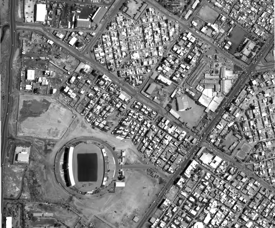
We have a couple of important updates to Intermap's data offerings on the platform. Intermap has expanded NEXTMap One coverage across France and Italy. The legacy NEXTMap 10 product line, including the DSM, DTM, and bundle, has been retired. View Intermap's coverage here.
Reduce guesswork with a tentative POI radius for tasking orders
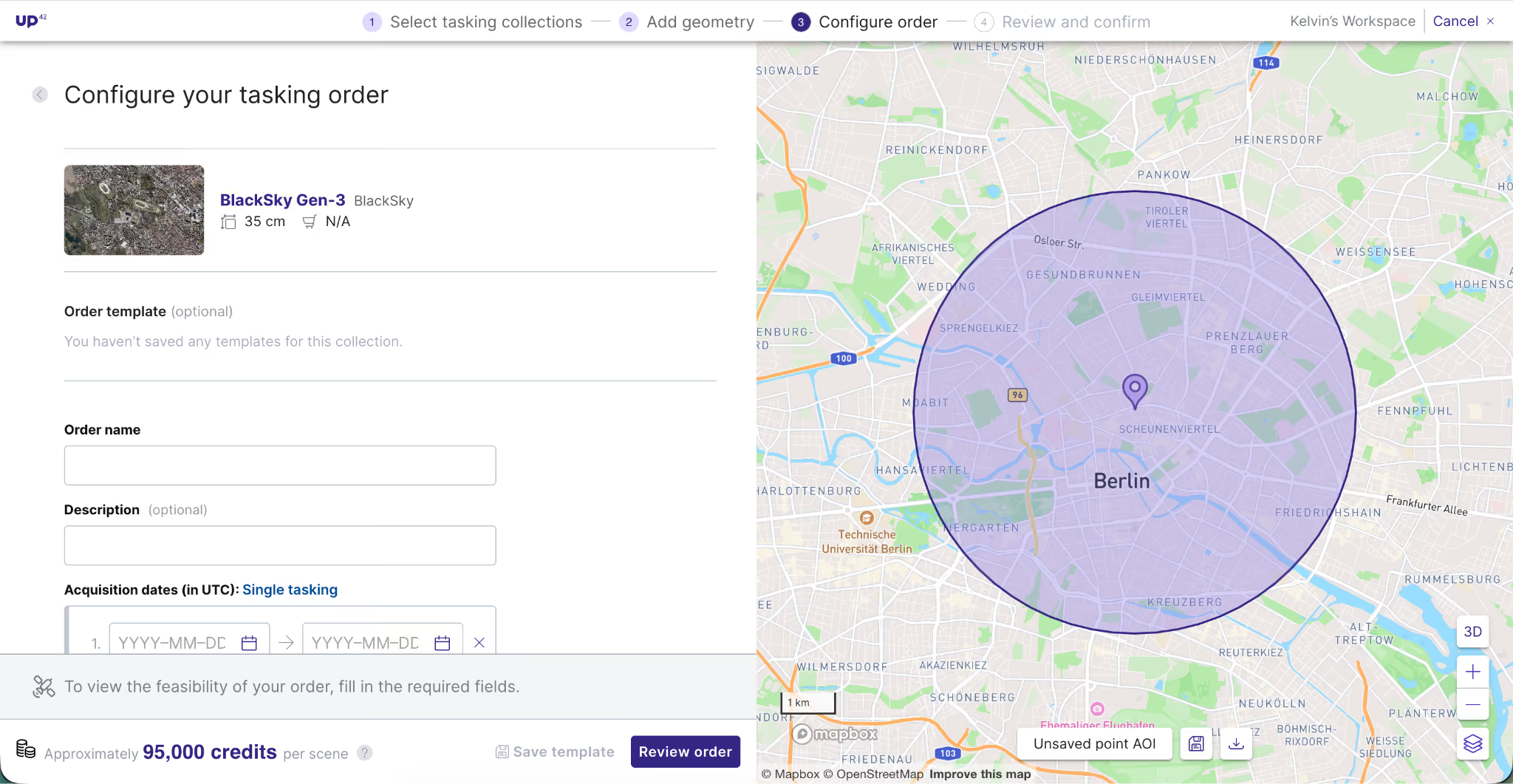
Will your point of interest (POI) capture fully cover your entire area of interest? The guesswork is officially over. With our new tentative radius feature, you can now visualize the approximate expected footprint of your tasking order before you commit.
You'll receive a full scene centered on your POI, sized per the collection's output limitations. Actual extent might vary due to acquisition conditions.
We heard you like processing
Looking for the right algorithm to process your data? You can now find all processes under the Processes tab in the marketplace section of the console. Search, filter, and discover processes alongside our data collections. Get started here.
Status report
With our brand-new status page at status.up42.com, you can track platform performance in real time. You can also subscribe to get instant notifications delivered right where you want them via e-mail, slack or RSS feed.
.png)
Subscribe to our newsletter
Stay up to date and learn about our fast-growing new features
