Streamlined order tracking and geometry management, streaming capabilities, and more

Here’s a summary of the latest features now live on our platform. These enhancements simplify data discovery and acquisition, enable easier downstream integrations, and improve your overall platform experience. Discover how they can streamline your organizational workflows.
Get the right data for your project with expanded archive availability
- Beijing-3N: Another very high resolution addition to our catalog, offering 30 cm optical satellite imagery, acquired every 5 days anywhere in the world. The collection contains data from 2022 to present.
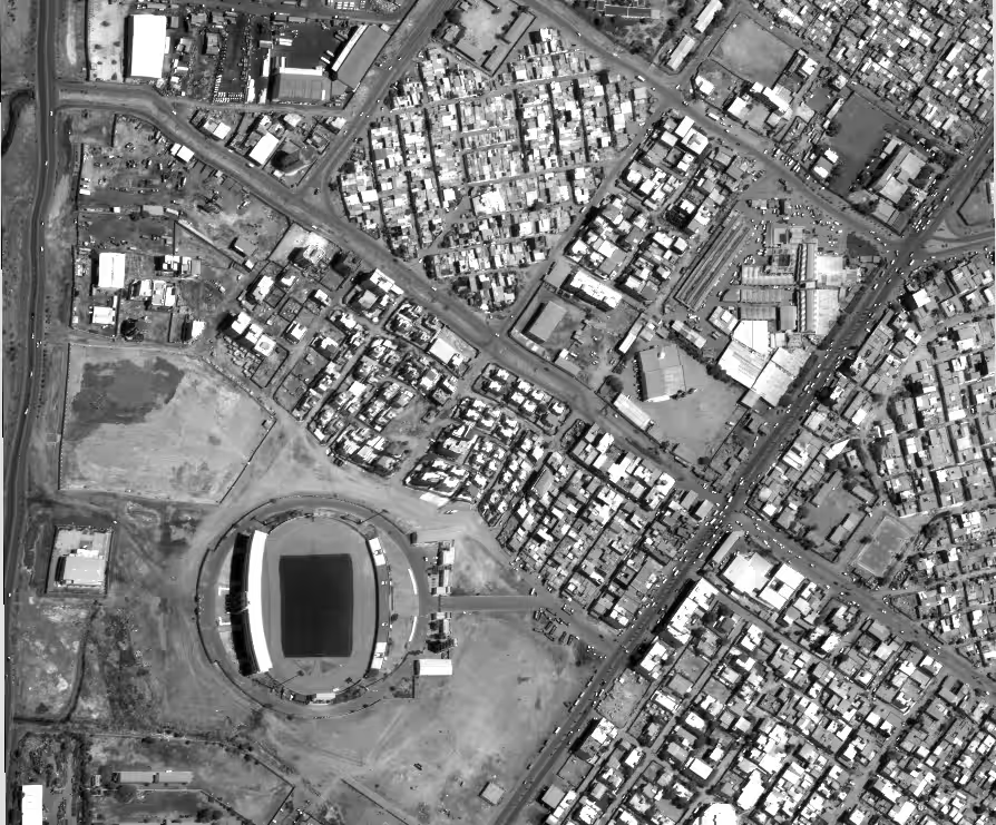
- Pléiades Neo HD15: Designed to enhance the visual rendering of Pléiades Neo 30 cm imagery, Pléiades Neo HD15 offers 15 cm spatial resolution, providing sharper details for easier interpretation—ideal for advanced monitoring, detailed mapping, urban planning, and as input for AI and ML models. Catalog datasets are available starting from 2021.
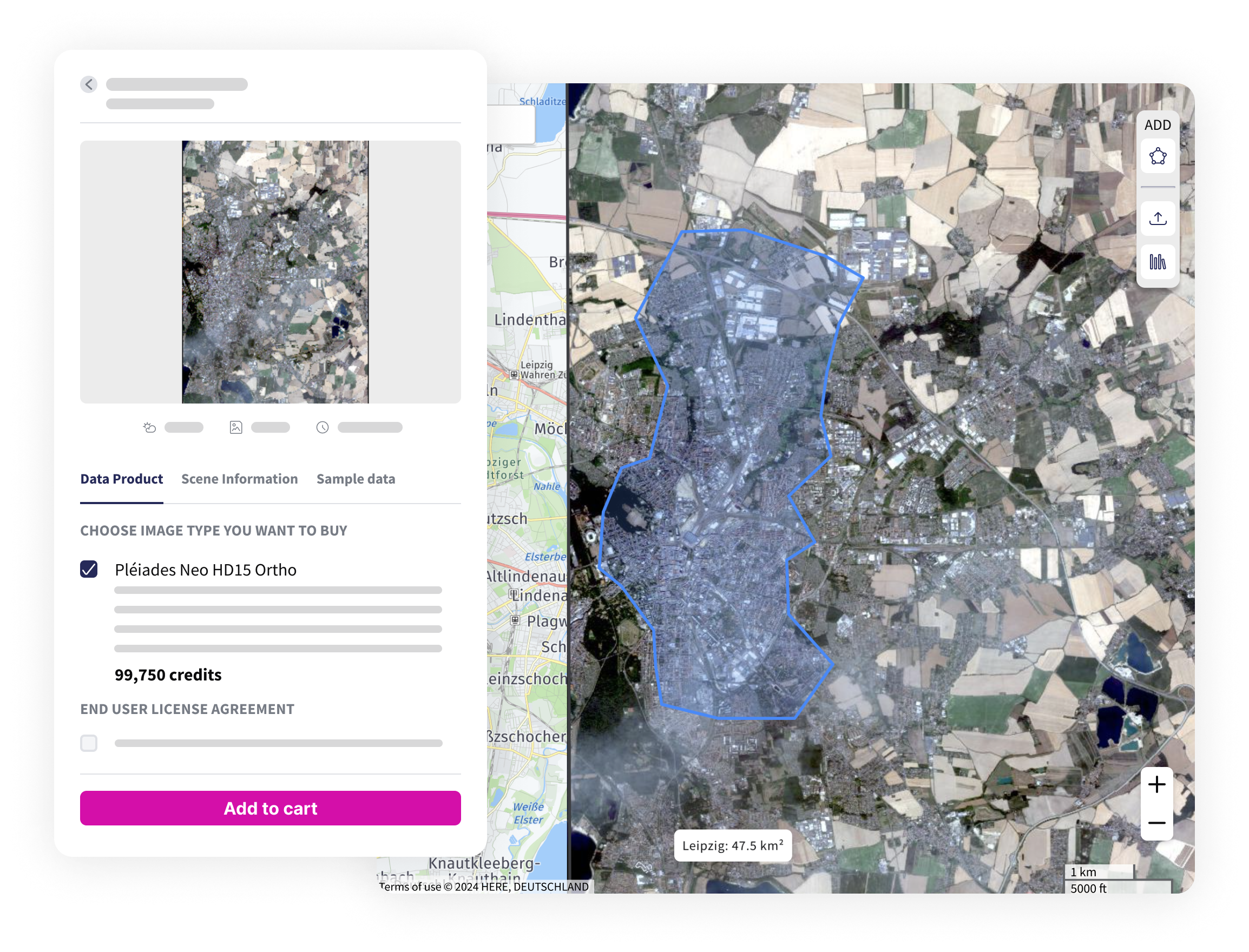
Simplifying searches for archive data
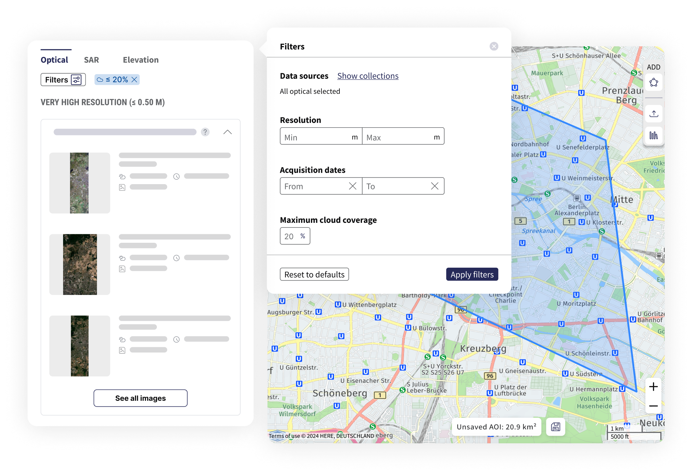
The catalog now makes it easier to showcase our collections, allowing for faster data discovery. Explore the new tabs categorizing each data type and experience our enhanced filtering capabilities.
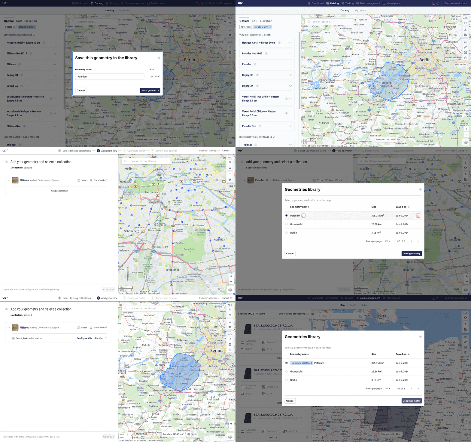
Optimize data ordering costs with unified geometry management
Save time and effort when managing your projects and associated priorities. Access pre-stored catalog AOIs or create new ones, save them to your library, and make needed modifications—within the catalog, tasking, or data management interface. The shared library enables you to search, access, and utilize AOIs across the platform. Tasking supports point and multiple-point geometry in addition to polygons.
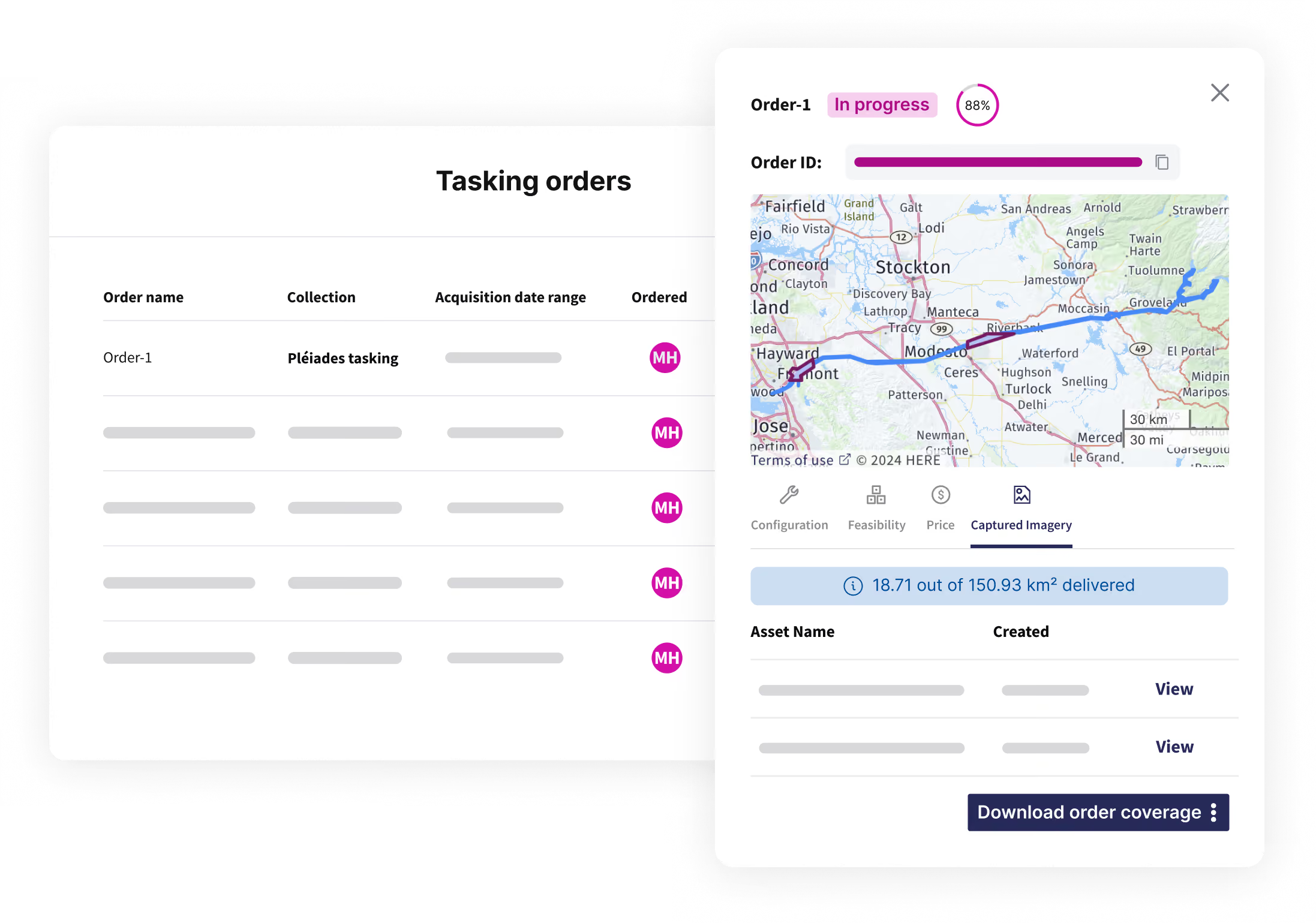
Manage complex projects efficiently with streamlined order tracking
- Order tags: We're simplifying file management with the ability to now add and edit catalog order tags, as well as directly open your catalog deliveries in data management. Additionally, you can edit your tasking tags directly in the console, with the upcoming ability to add tags to orders created without any.
- Exact tasking footprint calculation: The exact footprints for all primary deliveries are now calculated and displayed in your tasking and data management interface, making it easier to see the delivered data in pixels and square kilometers and get an overview of your projects.
- Tasking area metrics: Speaking of quick overviews, you can now view the actual area in square kilometers for both delivered and pending orders, in addition to percentage metrics. This information is accessible in the order details sidebar and when you hover over the order in the tasking table. If footprints have not been extracted, you’ll be notified.
Stream data and processing results into your GIS tool of choice
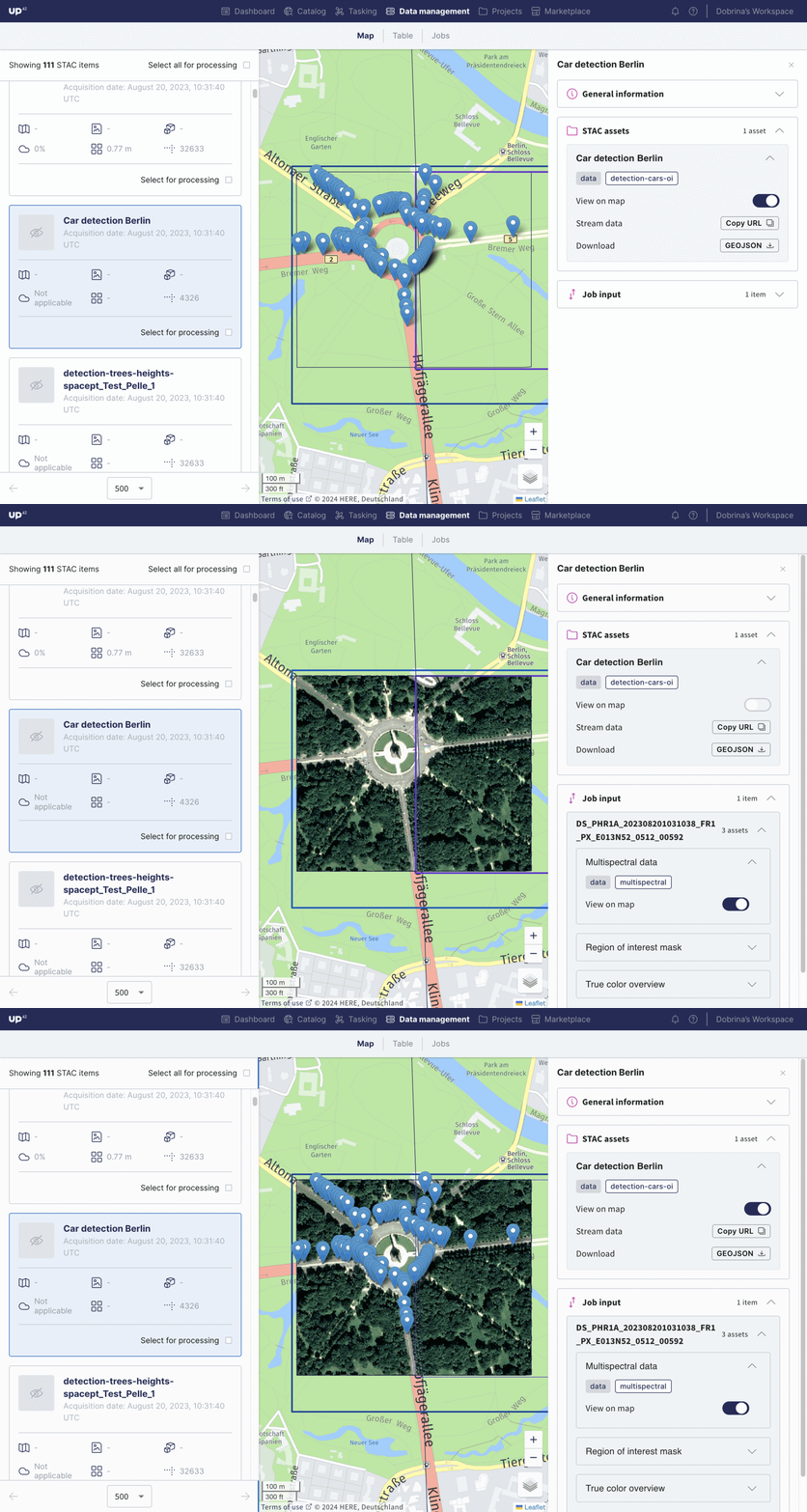
We’ve taken the data management map page to the next level. Now, you can view all STAC item details directly on the map. Get STAC asset previews or copy the stream URL to use in ArcGIS, QGIS, FELT, or other downstream GIS applications.

Get data in the right format with expanded processing capabilities
- Processing: Detect changes between two different SPOT or Pléiades images from the same collection with algorithms from Spacept and Hyperverge. These algorithms can be used for vegetation management, urban planning, construction, fire risk estimation, land use management, forestry, and infrastructure monitoring.
- Visualization capabilities: Simultaneously display and compare two STAC items. This feature is especially useful for processing capabilities (e.g., pansharpening or change detection), or when viewing GeoJSONs in relation to Cloud Optimized GeoTiffs (COG).
- Sample data: Our sample data library is growing too, now with pansharpening, upsampling, and object detection, as well as more elevation, stereo, and tri-stereo data.
Last but not least, stay informed about the latest updates and improvements to our API and SDK, accessible through our documentation.
That’s all for now. We’ll be sure to reach out with more product updates soon.
.png)
Subscribe to our newsletter
Stay up to date and learn about our fast-growing new features
