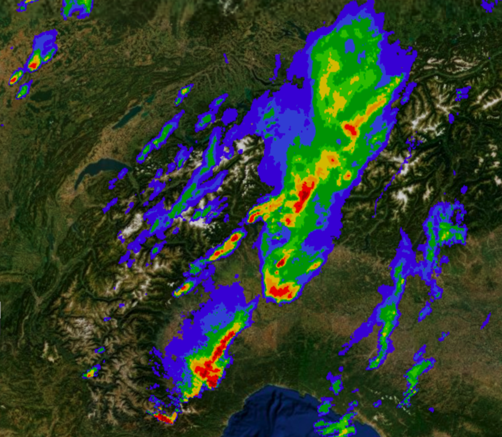
When we announced our public launch in September 2019, we said, “Our vision is to offer all kinds of geospatial data. Weather data, drones, IoT data, and more—creating a richer picture of the planet.” We still believe that. Todays’ announcement brings us one step closer to realizing our vision.
We’ve partnered with weather API company Meteomatics and launched our very first weather data source, enabling UP42 customers to search for global historic, current, and forecast weather, ocean and environmental data.
Meteomatics provides radar and satellite data, model data from National Meteorological Services and scientific institutions, as well as data from over 10,000 weather stations dotted across the globe.
This new data source opens up a window to a world of weather prediction and forecasting. The Meteomatics API includes basic yet essential weather parameters. By default, you can now search for temperature, wind speed, and precipitation. Looking for more?
Specify your data variables depending on what you’re looking for. Measure hourly evaporation, explore frost depth, forecast thunderstorm probability, and more.
By combining the latest weather data with model data and historical reanalysis, Meteomatics brings high-resolution historical, observation, or prediction data for any location on the planet to UP42.
 
 Above: Tailor your search parameters on UP42 and pick more variables from Meteomatics’ list of Basic Weather Parameters.
 
All data is available as time series in NetCDF format. Easily explore your findings with free applications such as Panoply or Ncview.
 
"As a specialist weather data provider, we focus on the provision of high quality, processed weather and environmental data for all areas of business. Our unique data delivery architecture provides real-time data, historical data and forecast data. We are excited to cooperate with UP42, providing high quality, high-resolution weather information for any area in the world for UP42 platform users.“
~ Dr. Martin J. Fengler, CEO, Meteomatics
 
With 280 daily updates every 5-15 minutes, you will always receive the latest values at a spatial resolution of up to 90m.
Locate areas where temperatures are particularly high or especially erratic in comparison with the global average. Create models to show how the warming climate may impact the ecology of various regions. Visualize the potential to affect crop growth, wildlife, industry and more. Inform people, shape strategy and make data-driven decisions—across industries.


Weather data is a critical layer to understand and solve the environmental, societal, and biodiversity challenges of today’s rapidly changing world. These data points tell us how and when the climate has changed. They help to answer questions we’re often asking when looking at the planet: “How much snow melted on the Bernese Alps in one day?” or “By how much have temperatures in Stockholm increased this winter?”
 
Above: Winter temperatures in Stockholm on the same day one year apart: 6 January 2019 reached below -2.4°C and one year later, increased to up to 2.9°C in 2020.
 
Now, you are able to pinpoint any point on the planet and look back and ahead at the environment in time.
To get started, head over to the UP42 marketplace, create a UP42 account and start working with weather data today. We're really looking forward to seeing what processing blocks and workflows can be built by combining weather data with other data on UP42!


