Upsampling is one of the most popular algorithms on the UP42 platform—and this is no surprise, as it improves the spatial resolution of Pléiades Neo imagery from 30 cm to 10 cm. It’s easy to run and significantly reduces the cost of high resolution imagery. And the good news is, upsampling just got better.
What is upsampling?
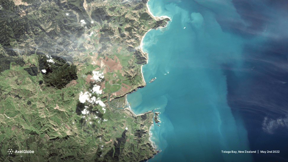
If you haven’t used upsampling before, here’s a quick overview. The algorithm was developed by Nara Space, a South Korean company founded in 2015 that builds nanosatellites and provides satellite image data analysis to solve issues such as climate change, pollution, and food crises. The algorithm upsamples the spatial resolution of the RGB (red, green, blue) bands. The results are GeoTIFF files with the upsampled spatial resolution. Previously only available for Pléiades Neo collections, you can now run the algorithm on open data (Sentinel-2) and Pléiades collections. The final resolution depends on the input imagery. For Pléades Neo, for example, it would be upsampled from 30 cm to 10 cm. For Pléiades, from 50 cm to 25 cm, whereas for Sentinel-2, from 10 m to 3.20 m.
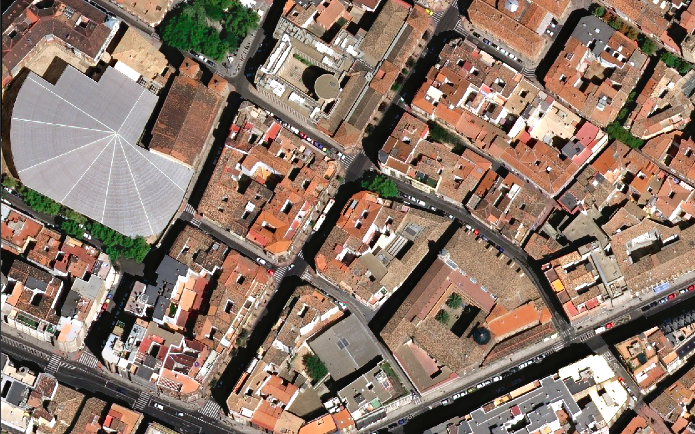
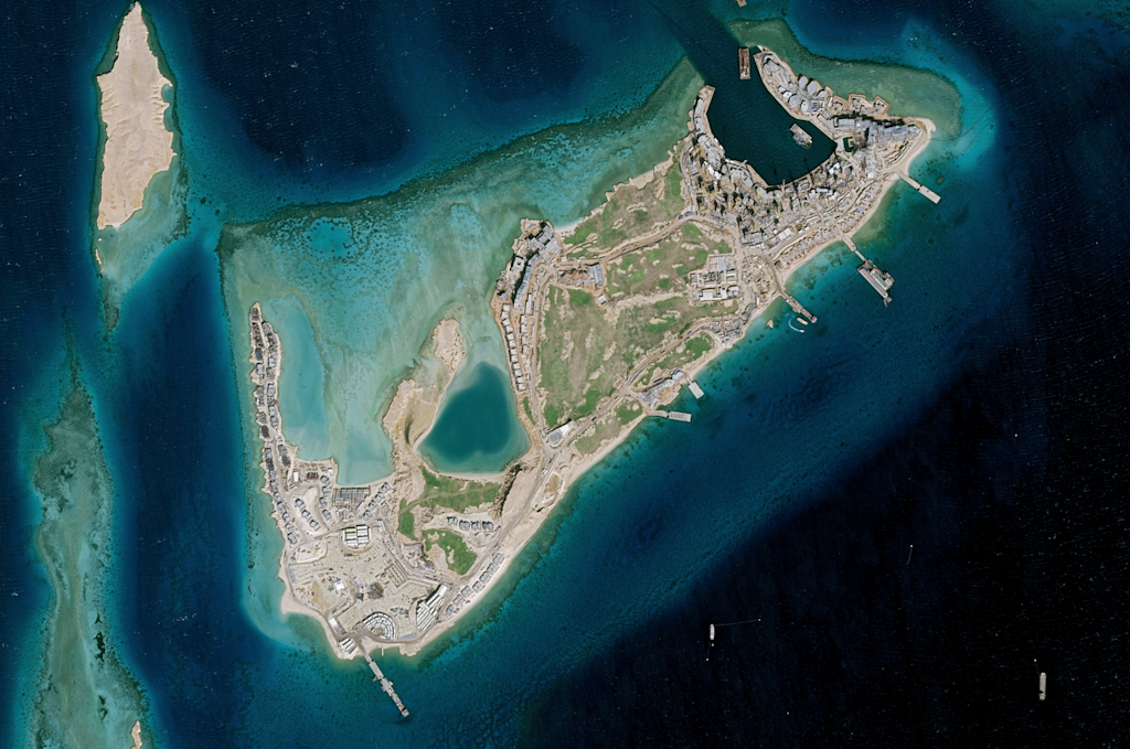
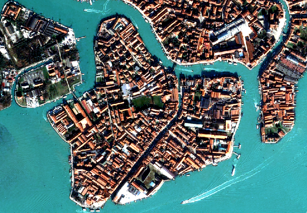
 Original Pléiades Neo RGB image (red, green, blue) -> Upsampled image
Benefits of using upsampling
By improving the image resolution, the algorithm makes the image sharper, clearer, and more accurate. This also means that details and objects are more visible and easier to identify, making upsampling a powerful pre-processing tool that enhances data for more precise analysis. This is important because algorithms such as change detection pick up on the shapes, intensity, and texture of an object (ships, airplanes, cars, power lines, or other infrastructure), so when the objects are clearer and more defined as a result of upsampling, the algorithm performs better. The algorithm can be used for change detection, vegetation management, infrastructure monitoring, fire risk estimation, urban planning, construction, land use, and other use cases.
By reducing the reliance on aerial data or the need for high-resolution satellite tasking, upsampling gives you higher resolution while also playing a role in reducing project costs. Naturally, data costs need to be considered here too. Upsampling increases the amount of pixels which in turn means you need more computing power to develop a model. That’s one of the limiting factors so it is important to consider if the advantages of higher resolution are worth the additional cost.
 Original Sentinel-2 image -> Upsampled image
The technology behind the algorithms
The algorithm uses a convolutional neural network (CNN) to enhance image resolution. Here’s what Minsik Kim, Director of Image Analysis at Nara Space, says about it in a previous interview: “To be more specific, we prepare image sets for different resolutions, using aerial imagery and Pléiades Neo imagery. Once the data set is ready, we train the super resolution network using a TensorFlow framework. This framework allows the network to identify the information gap between LR and HR images. For instance, the detail of a car in a 0.3 m resolution image and a 0.1 m resolution image differs; after training, the network can close that gap.”
Upsampling on the UP42 platform
UP42 leverages STAC to ensure cross-sensor metadata harmonization and standardizes all deliveries into cloud-native formats. It only takes a couple of clicks to upsample as many compatible STAC items as you want. The process is also very transparent: in addition to compatibility information, we give you price estimates early in your decision-making process. Lastly, the output is available in your data management component where you can easily visualize, download, or stream it into ArcGIS, QGIS, FELT, or other downstream GIS applications.
Nara Space's upsampling algorithm provides high-quality imagery that enhances accuracy, reduces costs, and supports better decision-making across a wide range of industries. Try it out for yourself or visit the technical documentation for more information!


