It’s been a while since we last spotlighted the UP42 catalog. But with so many exciting platform updates, we couldn’t wait any longer. If you missed any of our recent catalog enhancements, this article will bring you up to speed.
Get the right archive data for your project
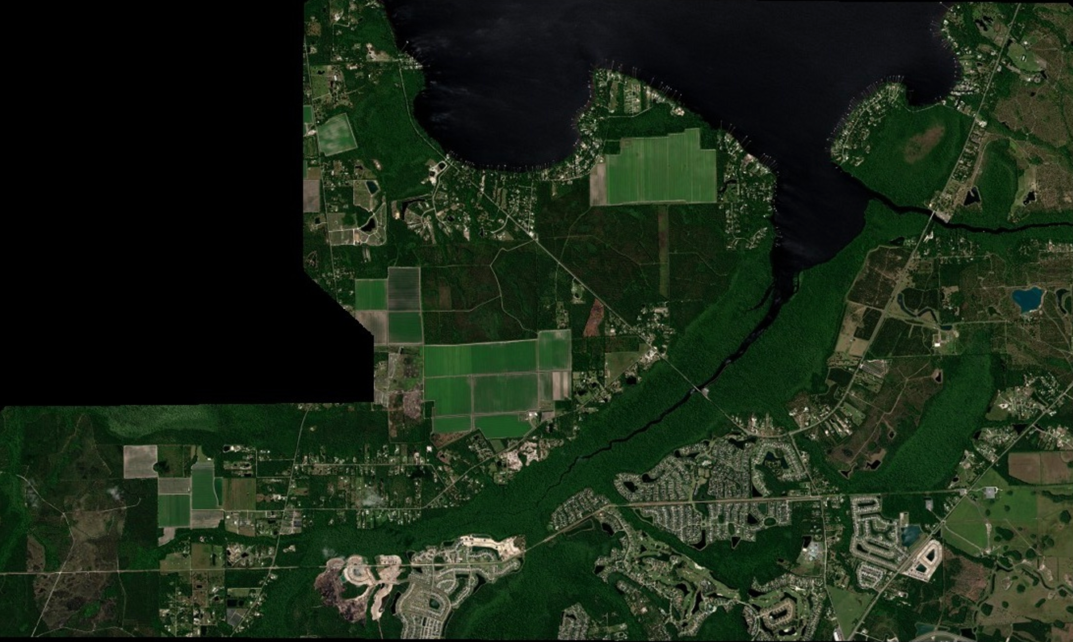
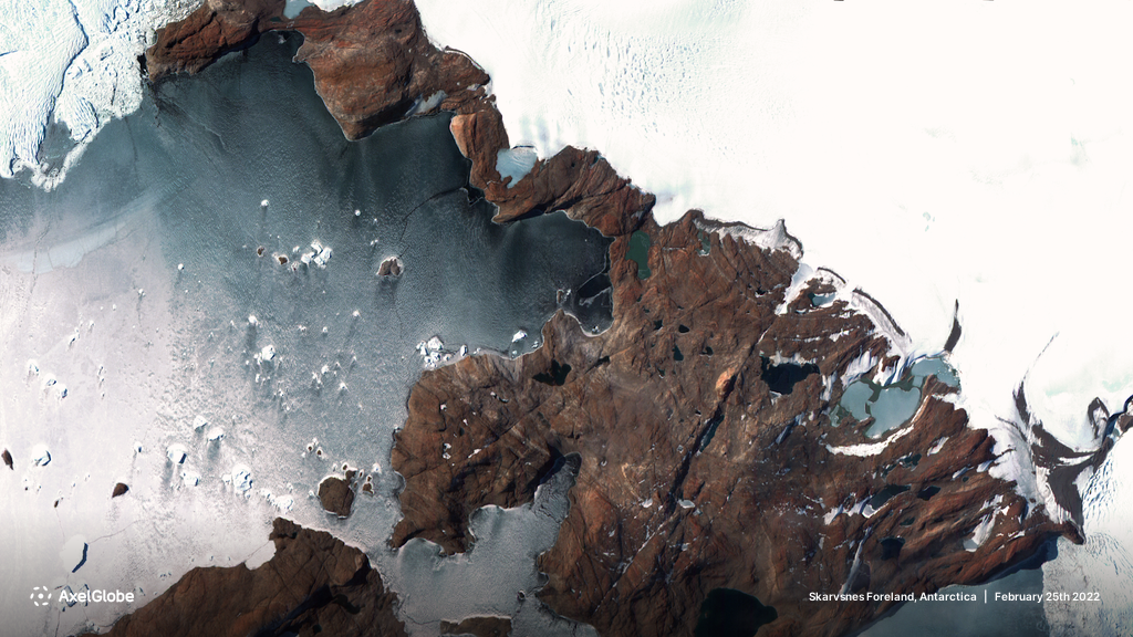
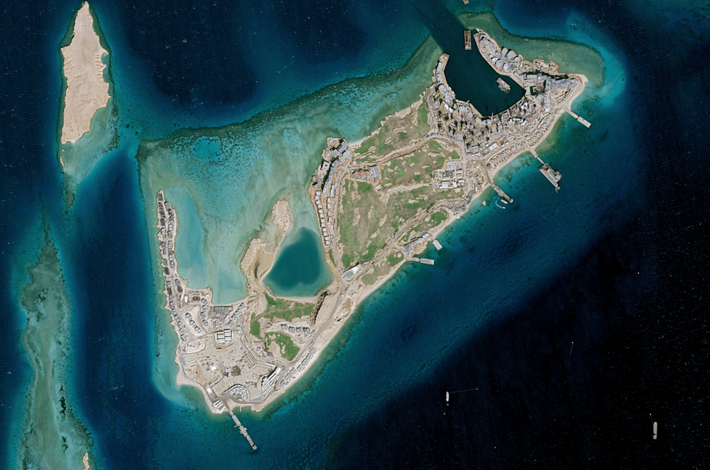
The UP42 catalog’s power lies in its ability to grant access to a vast archive from the world’s leading Earth observation providers. With a diverse range of data types—including optical, SAR, and elevation—our catalog offers everything from ultra high resolutions of 5.5 cm and stereo imaging to flexible processing levels. We’ve integrated Airbus, Planet, 21AT, Vexcel, ISI, BlackSky, Capella Space, Hexagon, and Intermap to ensure comprehensive data options. We standardize provider offerings and even harmonize different types of data, so you can reduce time spent on different contracts, integrations, compliance, and maintenance needs. Our catalog is constantly expanding, and we welcome your feedback on data types that matter most to you, their discoverability, as well as overall usability.

Discover archive data faster and easier
Listing our long roster of partners is exciting, but it’s only part of what we’re building. This year, we refreshed the catalog design, organized data types into clear categories, and improved sorting and filtering features. In addition to displaying the exact collections you're searching for, we'll also present relevant data outside your exact criteria. While some of these suggestions might feel like an FYI, customers often discover new options that weren’t initially on their radar—in some cases helping them lower project costs.

In the EO industry, we’re surrounded by beautiful images, so naturally, image previews are available for products. Speaking of which, you can now explore all available scene previews for your Area of Interest (AOI) when searching for archive imagery from a specific provider. With multiple scene previews displayed on the map, you can quickly compare and select the best data, further streamlining your search and selection process. Real-time catalog requests will then show immediate data availability as well as transparent cost estimates. Lastly, to help your discovery process, we have free sample data that you can easily download from the catalog.

Manage geometries more effortlessly
Create and save AOIs in your library, or rename and adjust coordinates as needed. Our shared AOI library lets you seamlessly access and reuse your AOIs across the entire platform, from the catalog and tasking to the data management interface. This streamlines workflows, saving you time and ensuring consistency across different projects.

Talking about AOIs, we’ve introduced several enhancements to make your experience smoother. You can immediately see the square km when drawing and editing polygons. For simpler AOIs, the new rectangle tool allows you to select areas on the basemap and create rectangular geometries with ease.
Use tags to organize the data you purchase
After you discover the right data in the catalog, you will probably need to organize, manage, and process it. Let’s explore some features designed to help you do this. First, you can add and edit tags to both new and existing catalog orders, allowing you to categorize data by projects, locations, themes, and customers. This makes retrieving relevant data and tracking costs much easier. Tags are especially valuable for teams working across multiple projects, as they provide quick context for each order. You can search orders by tag name to instantly locate the specific data you need, saving time and reducing the risk of duplicating data within your organization. By improving organization, tagging ultimately supports more efficient and cohesive project execution.
Order archive data at scale
If you like what to see (and we’re sure you will), you might need to place more than one order. No problem—our API/SDK allows you to place thousands of archive data orders per day. Use the same set of ordering parameters to integrate a new product in seconds.
Stream, process, or integrate purchased data
Lastly, what do you do after you’ve ordered your archive data through the catalog? You manage it! UP42’s data management solution offers you a centralized place to store, organize, and visualize your data. UP42 will harmonize data into a standardized cloud-native asset format, and enables effortless tagging, retrieval, and visualization capabilities. You can then decide whether to download or stream your data into your GIS of choice (QGIS, ArcGIS, Felt, etc.) using our stream URL, or process it using our built-in algorithms.

Interested? Try out the UP42 catalog here, or reach out directly if you have questions. We’d be happy to answer them.


