High-quality data requirements
Geospatial financial analysis comes down to accurately identifying changes and predicting risk. To do this effectively, high-resolution optical and radar data is vital.
Geospatial data and analytics can enable intelligent, data-driven investment decisions by identifying risks, trends, and opportunities.
Geospatial financial analysis comes down to accurately identifying changes and predicting risk. To do this effectively, high-resolution optical and radar data is vital.
Asset values, market trends, and risks to financial and insurance portfolios can only be evaluated when a wide range of disparate variables are taken into account.
From satellite and aerial imagery to detection algorithms to map data, geospatial solutions in financial services must find a cohesive way to integrate insights into a single tool.
Insurance and Financial Services
Combine high-resolution optical, radar, and aerial imagery processed by cutting-edge algorithms to gain an edge as you assess risks, spot trends, and evaluate investment opportunities.
Use case spotlight
High-resolution imagery and weather data
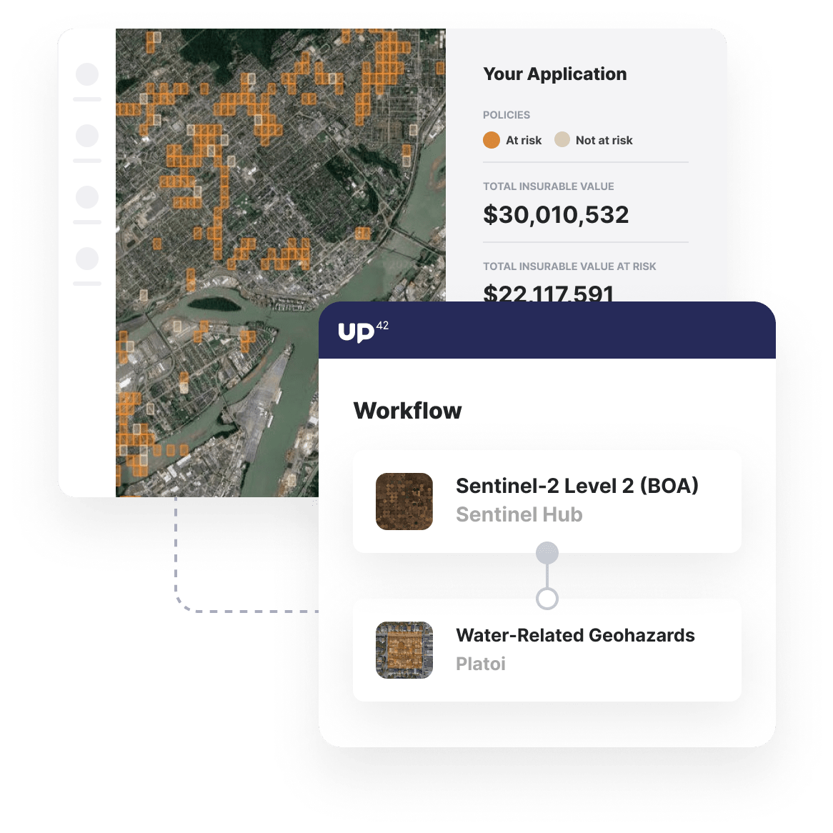
Access high-resolution Sentinel-2 optical imagery for broad areas of interest. Augment analysis with 1000 historical and forecasted weather parameters.
Predict water-related geohazards
Use out-of-the-box machine learning algorithms processing Sentinel-2 data to predict flooding or exposure to water bodies for your areas of interest.
Gain a holistic view of portfolio risk
Combine weather and geohazard predictions with your own algorithms applied to high-resolution satellite data to get a full picture of your portfolio risk.
Additional Insurance and financial services use cases built with UP42
Marketplace
Access high-resolution archive imagery or task satellites for a date range, guaranteeing high-quality, low cloud coverage imagery for your AOI.
Enhance image quality, convert input data, or clip raster images into tiles to ensure that your input image is ready for further analysis.
Process satellite data with object detection algorithms and forecast the risk of major water-related geohazards.
Create an account to order, access, and analyze geospatial data.


