Wide-ranging data types
More so than any other industry, maritime is impacted by many variables, from weather to different ship routes. Integrating this array of data types requires vast expertise.
With satellite imagery and algorithms, AIS data, and 1000 weather parameters, UP42 enables you to track, predict, and optimize maritime activity on a global scale.
More so than any other industry, maritime is impacted by many variables, from weather to different ship routes. Integrating this array of data types requires vast expertise.
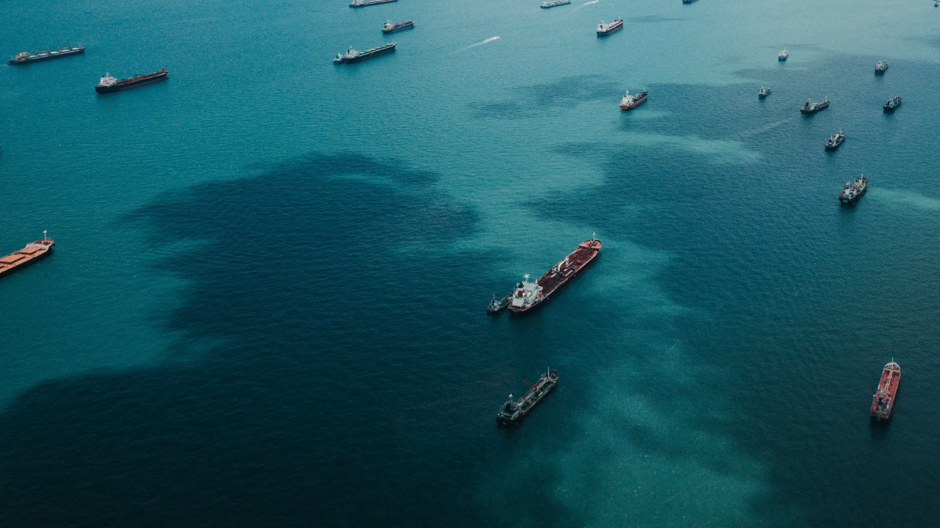
The ocean covers 70% of the Earth's surface. As a result, maritime activity tracking can require analysis covering thousands or even millions of square kilometers.
Maritime conditions can change in an instant. Therefore, geospatial data and the insights derived from geospatial analysis must be near-real-time.
Maritime
Combine AIS data, weather and ocean parameters, satellite imagery, and cutting-edge algorithms to monitor and improve vessel, port, and open water activity.
Use case spotlight
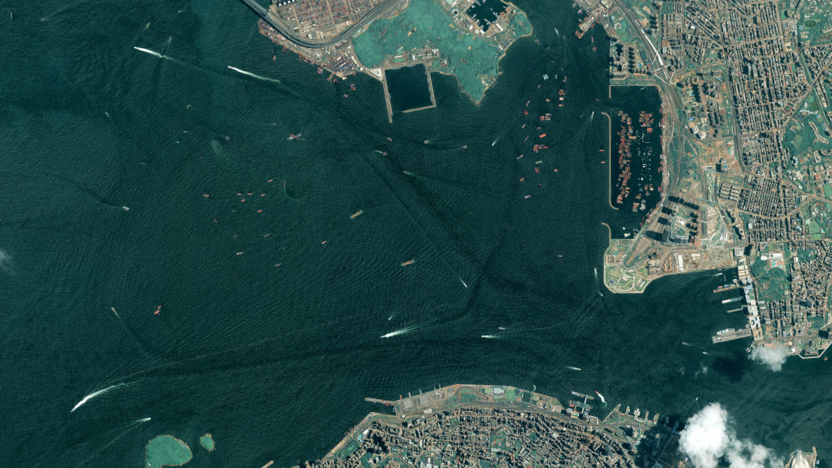
SPOT optical imagery and AIS data
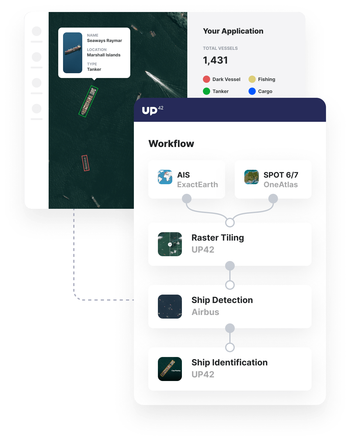
Easily access OneAtlas SPOT imagery, combined with the most accurate AIS data in the market from exactEarth.
Ship detection and identification
Leverage machine-learning algorithms that draw on both satellite imagery and AIS data, providing insights on ship location, type, and more.
Combine insights via our API
Don't just monitor vessel activity but truly understand it by bringing together disparate insights on ship location, vessel type, weather data, and more via API.
Additional maritime use cases built with UP42
Marketplace
With industry-leading partners, such as exactEarth and Meteomatics, UP42 is the most comprehensive maritime data marketplace.
Leverage free UP42 blocks, such as Raster Tiling, to prepare your data for further analysis in machine learning models.
Specialist out-of-the-box maritime algorithms, such as ship detection, enable you to get from maritime data to actionable insights in seconds.
Create an account to order, access, and analyze geospatial data.


