High-quality data requirements
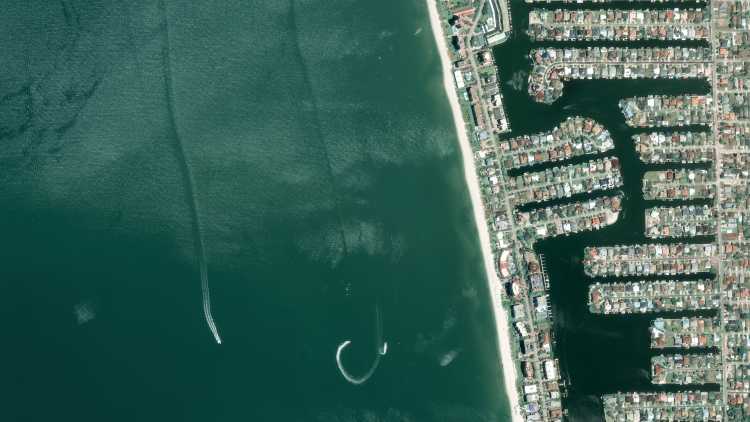
Much of geospatial analysis in the real estate sector relies on identifying objects. Accuracy in these detection models requires high-resolution aerial and satellite imagery.
From construction to investment opportunities, geospatial data and analytics can enable intelligent, data-driven decision making in the real estate industry.
Much of geospatial analysis in the real estate sector relies on identifying objects. Accuracy in these detection models requires high-resolution aerial and satellite imagery.
Property values, real estate market trends, and risks to real estate portfolios can only be evaluated when a wide range of disparate variables are considered.
From satellite and aerial imagery to detection algorithms to map data, geospatial real estate solutions must find a cohesive way to mesh different imagery and insights in a single tool.
Real Estate
Combine high-resolution optical, radar, and aerial imagery processed by cutting-edge algorithms to assess risks and detect objects that are indicators of property or area value.
Use case spotlight
High-resolution satellite imagery
Purchase data from a vast library of archive imagery, paying only for your AOI. Supplement archive imagery with our bespoke tasking service.
Detect and identify objects
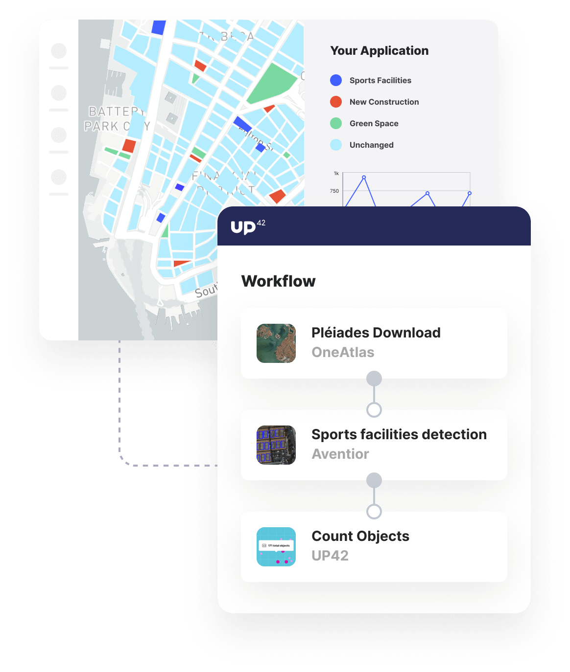
Run archive or tasked imagery through algorithms that detect objects, such as buildings, swimming pools, sports facilities, settlements, and more.
Combine insights in your analytics tools
Integrate your detection algorithms' outputs into analytics tools, such as Jupyter Notebooks, to analyze areas and spot trends over time.
Additional real estate use cases built with UP42
Marketplace
Access high-resolution satellite and aerial imagery with up to 15cm resolution, alongside open data sets, such as OpenStreetMap.
Enhance image quality, convert input data, or clip raster images into tiles to ensure that your input image is ready for further analysis.
Process satellite data with object detection algorithms and forecast the risk of major water-related geohazards.
Create an account to order, access, and analyze geospatial data.


