Vast data requirements
To monitor transportation routes in increasingly global transport networks, you must access and analyze imagery for often very large areas of interest.
Build solutions that enable global transportation networks to run smoothly, efficiently, and as planned by monitoring and detecting anomalies.
To monitor transportation routes in increasingly global transport networks, you must access and analyze imagery for often very large areas of interest.
Transportation analysis is enriched by using multiple different data types, from satellite imagery to AIS data. Access to disparate data sources can be a challenge.
Conditions in transportation networks and supply chains can change in an instant. Insights derived from geospatial analysis must then be up-to-date and relevant.
Transportation
Apply a range of pre-processing and analytical capabilities to high-resolution satellite data to build solutions for supply chain monitoring, vessel detection, and encroachment detection.
Use case spotlight
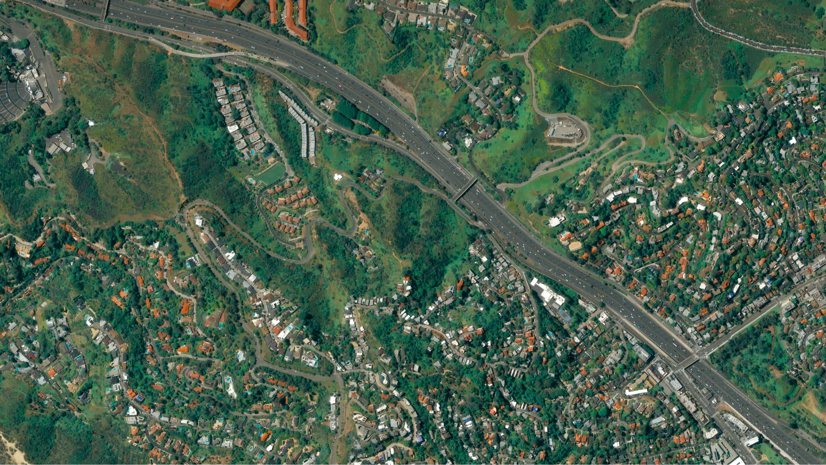
Access high-resolution satellite imagery
Task regular imagery of critical locations in your supply chain. Access that imagery in the UP42 console, integrated into your cloud storage, or via API in your own tools.
Monitor activity and risks in your supply chain
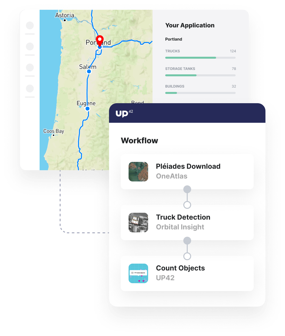
Run your satellite imagery through processing algorithms to detect change and count the number of objects of interest, such as trucks, storage tanks, and more.
Combine insights into your monitoring tools
Integrate the outputs of your change and object detection algorithms into analytics tools, existing supply chain management software, or alert systems - all via API.
Additional transportation use cases built with UP42
Marketplace
Access a vast archive of optical and radar satellite imagery, alongside future tasked imagery at up to a 0.5 m resolution.
With much more than just satellite imagery, the UP42 marketplace allows you to augment your regular satellite analyses.
Our marketplace caters to your analytics requirements, from the detection and identification of ships to the detection and counting of trucks.
Create an account to order, access, and analyze geospatial data.


