2025 in review: More data, smarter automation, and clearer insights for your projects

2025 was a huge year for UP42. Our acquisition by Neo Space group was completed in July, marking a huge milestone for both our company and platform strategy. Over the year, we've worked hard to enhance our industry-leading Earth observation platform. We also supported Neo Space Group in launching Saudi Arabia’s first EO marketplace.
But what does this all mean for you? On the product side, we focused on increasing automation capabilities while also adding new data collections from our partners.
Here’s a recap of the major highlights, starting with partner updates.
1. Get high-precision data with Vantor (previously Maxar)
We gained a massive addition to our data portfolio this year—Vantor (previously Maxar) data is now available through the UP42 platform. You can order archive data or task Vantor’s constellation—GeoEye-1, WorldView-2, WorldView-3, and WorldView Legion—with upsampled 15 cm HD data available.
See more about Vantor data in our documentation.
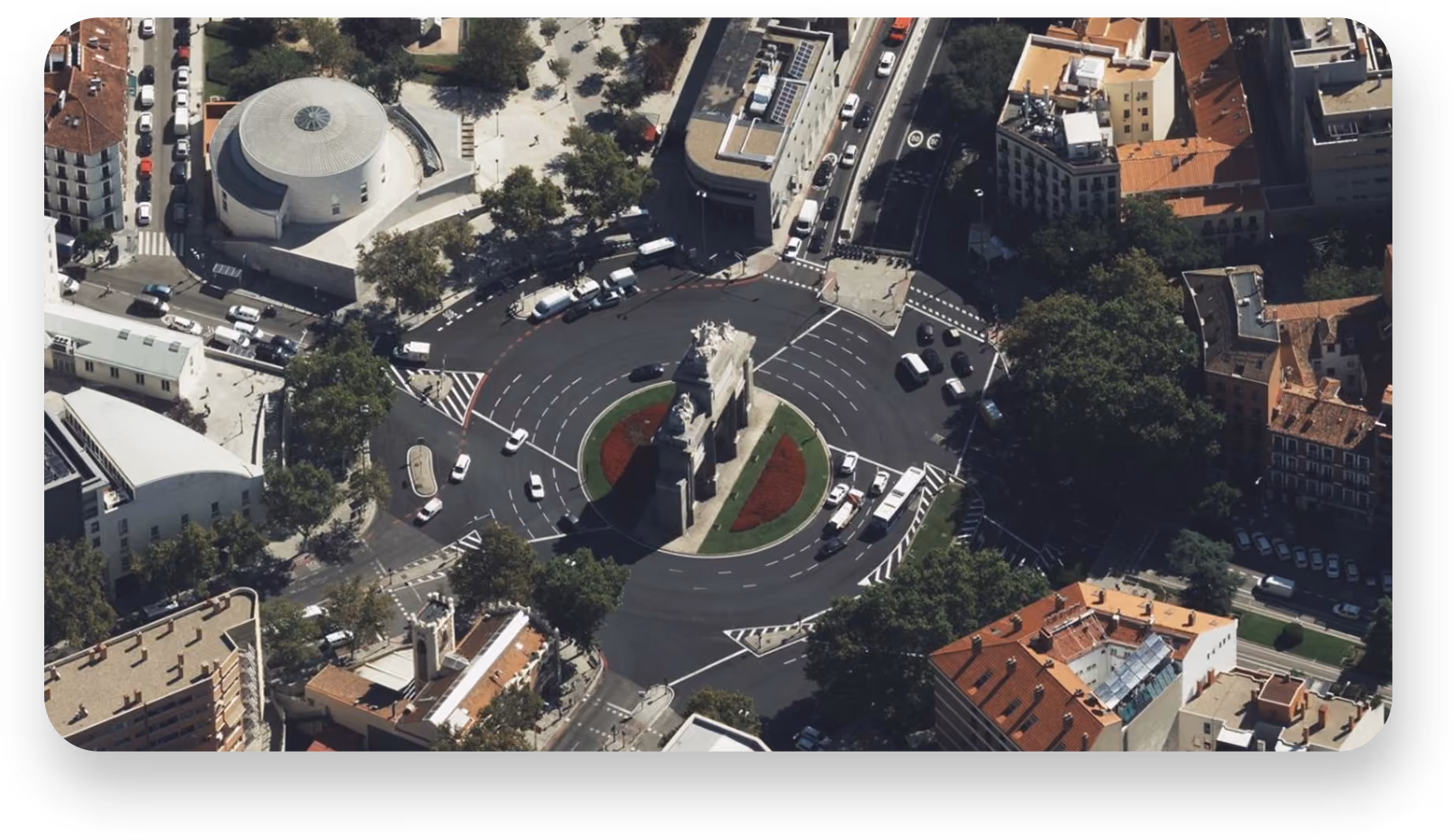
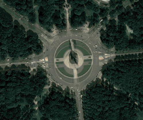
2. Capture imagery from every angle
If you work with aerial imagery, then check out Vexcel Aerial Obliques and Nadir imagery. This data gives you full RGB scenes of oblique imagery at 5.5–7.5 cm resolution, captured from all four cardinal directions at a 45° angle—perfect for 3D visualization and site assessment.
We also welcomed several other new data partners. We expanded our platform offering with NV5’s LiDAR data and Pixxel’s hyperspectral imagery. GHGSat adds industry-leading emissions data with facility-level monitoring. And GÖKTÜRK-1 contributes 50 cm very high resolution imagery, boosting tasking capacity during peak demand.
3. Detect changes and fix misalignment with Simularity’s new algorithms
Working with imagery from different sensors, angles, or acquisition times often leads to misalignment. Simularity’s coregistration algorithm automatically aligns a source image to a reference image, correcting mismatches across times and sensors. Once aligned, the change detection algorithm compares the two images and highlights meaningful differences, giving you accurate insights.
4. Improved tasking and ordering
We’ve made some big tasking changes too. Users can now:
- Filter tasking orders by project name and tag for a comprehensive, project-level view
- See combined progress of an entire project, including total ordered and delivered square kilometers, and download all coverage data at once
- Schedule repeat orders for consistent & automated data
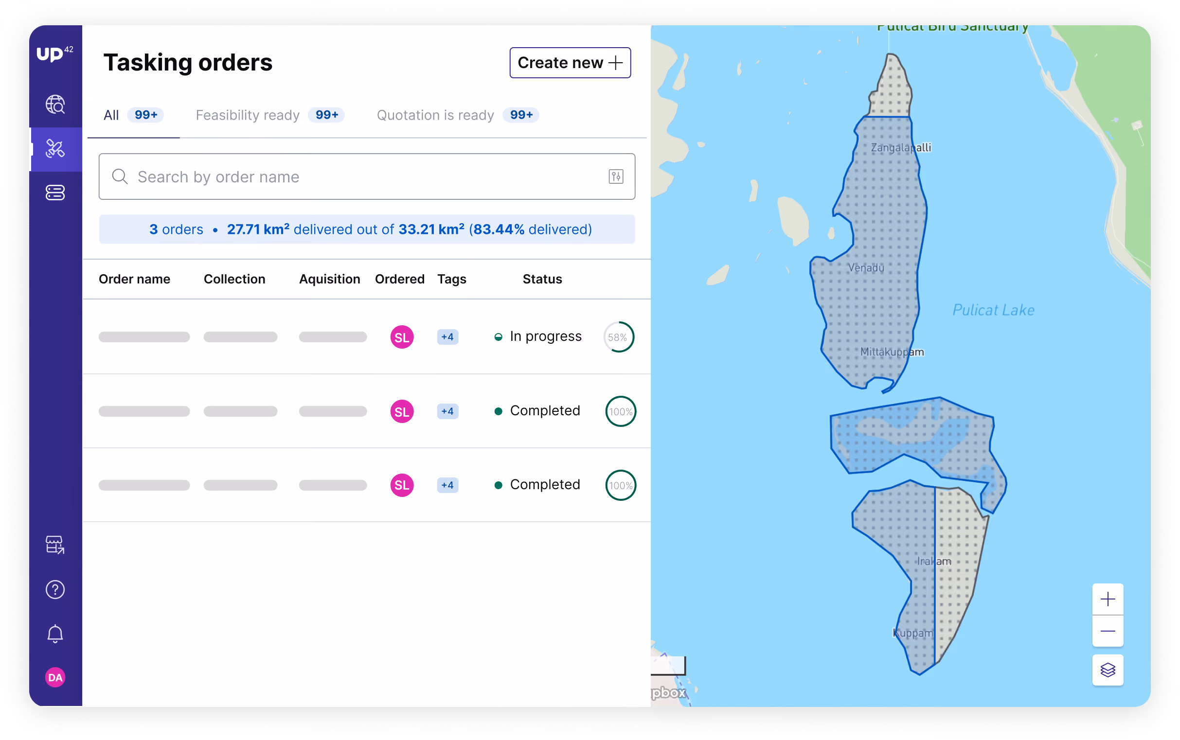
Explore tasking in the console here.
5. Find your answers quickly with DocHub
Our award-winning Documentation hub answers all your burning questions. Clear pricing info and direct ordering links make it easy to compare options and buy without friction. And if something’s missing, you can now share feedback directly in the portal. Check it out here.
6. Webinars, reports, and events
What would a business year be without webinars? We had a whole bunch, and we guarantee you’ll find at least one of them relevant.
- In March, we organized a webinar on hyperspectral data for forest fire prevention along with our partner Wyvern. Watch part 1 and part 2!
- In May, we participated in a webinar on EO data for mining, with presentations from our partners Airbus, Synspective, and Intermap.
- In July, we hosted a webinar for our mining audience again, talking about how to use the UP42 platform to make the most out of remote sensing data. Watch here.
- In September, we joined a webinar on EO data for enterprise companies, which you can watch in full here.
- In October, we teamed up with Vantor (formerly Maxar), to show you how to use geospatial intelligence for your global mining operations. Watch the recording here.
We also launched some really valuable in-depth research reports, in collaboration with Geoawesome. They’re all free of charge and packed with insights:
- Earth Observation in Mining: Driving Efficiency, Safety, and Sustainability Across the Mining Lifecycle
- Earth Observation Data in the Enterprise: Adoption, Challenges, and Strategic Outlook
- From Reactive to Resilient: Earth Observation as the New Baseline for Infrastructure Asset Management
We had a busy year meeting customers and partners at leading geospatial events. We attended the GEOINT Symposium, Esri User Conference, EO Summit, World Space Business Week, and Intergeo among others. If you plan to attend any of these events in 2026, let’s connect!
Until the next time we reach out, here’s to a happy and successful 2026 from all of us at UP42!


Subscribe to our newsletter
Stay up to date and learn about our fast-growing new features
