Vegetation and infrastructure do not mix.
Left uncontrolled, vegetation damages the integrity of infrastructure and hinders routine inspection. It also poses safety hazards.
For railway lines, vegetation can topple over and hit trains, cover up railway traffic lights, and block visibility at level crossings, potentially causing accidents and disrupting services. A review of the UK's Network Rail approach to vegetation management reports that in 2017/8, there were approximately 19,000 vegetation-related incidents—leading to over 1,750 train cancelations.
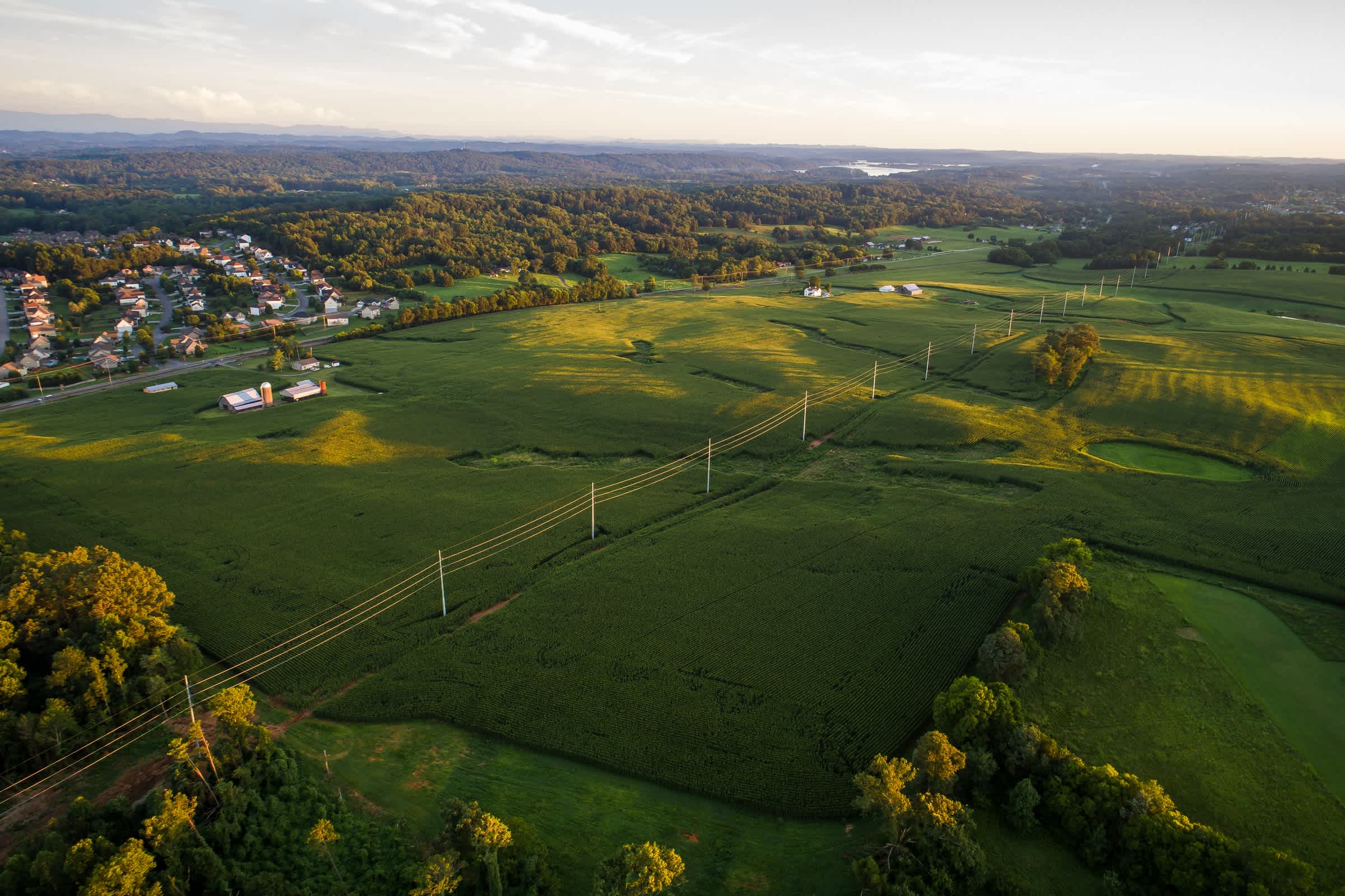
As for electric lines, vegetation hazards include short-circuiting electricity flow, knocking down electric lines, or sparking forest fires. For example, a pine tree contacting electrical distribution lines caused the Zogg fire in California last year. The fire burned a total area of 56,338 acres, destroyed 204 structures, and caused four civilian fatalities and one non-life-threatening injury.
As such, there is a need for regular inspection of vegetation inside and near infrastructure corridors to detect those that need to be cut. This calls for various data, including:
-
Location of vegetation relative to infrastructure
-
Vegetation species growing near infrastructure
-
The relative growth rates and the failure characteristics of relevant vegetation species
-
Potential movement of electric lines and vegetation during routine winds
-
The sag of electric lines because of elevated temperatures, ice loadings, etc.
In the past, vegetation monitoring was done through manual field surveys, leading to a labor-intensive, time-consuming, costly, and inefficient vegetation management process.
Today, the use of satellites, drones, and helicopters is enabling greater efficiencies. They gather digital data, which allows for exact measurements, repeated analysis, and long-term data storage for comparison.
When choosing which platform to use, it is not a question of "either/ or". The platforms gather information in different ways and at different scales. Each approach, therefore, has its own set of use cases.
Ultimately, it comes down to the specific task and the data required. Sometimes the drone may not do the job as well as the satellite. There are also plenty of instances where it makes sense to use historical satellite data.
Before looking at use cases where satellites drones and helicopters complement each other in vegetation management, let us first go over why they are better together.
Satellites, Helicopters, and Drones Are Better Together
 Photo by Nathan Anderson on Unsplash
There are many cases where satellites, helicopters, and drones overlap and benefit from one another. The main reason they are complementary is that they collect different data types at different scales and frequencies.
Let us explore each in more detail.
Data Types
Compared to helicopters and drones, satellites gather a wider range of data types: optical images, synthetic aperture radar (SAR) data, and thermal images.
Satellites like KOMPSAT-5 provide high-resolution Synthetic Aperture Radar (SAR). SAR is an active sensor that transmits microwave signals to the Earth's surface and records the returned signals. Microwaves penetrate clouds. SAR images can thus be obtained under all weather conditions. This makes them the right choice for infrastructure monitoring during natural disasters such as storms—when near real-time monitoring is critical.
Environmental satellites—such as those operated by NOAA—track global weather and climate. Such data, in combination with national meteorological observations, help to predict the weather. By predicting the weather, vegetation management activities can be planned.
That said, helicopters and drones are great for the collection of highly accurate 3-dimensional data using light detection and ranging (LiDAR) sensors.
Scale and Level of Detail
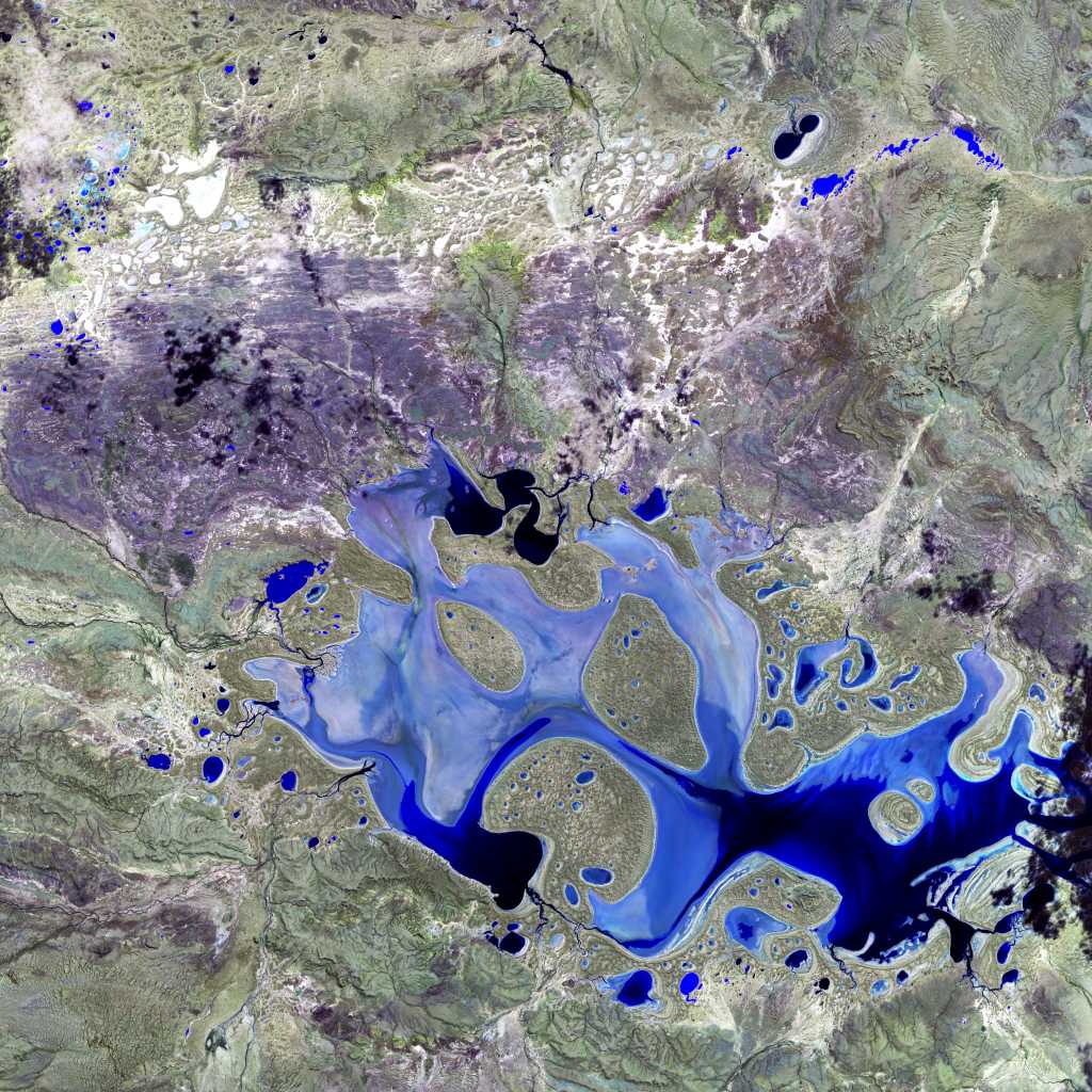
Satellites collect data from space. So, they can capture long corridor lengths in a single pass—and more frequently—than helicopters or drones. Thus, satellite imagery is essential if you want a large-scale view of the vegetation around infrastructure.
In addition, because satellites operate at high altitudes, the level of detail (spatial resolution) captured is lower than that of helicopters and drones which operate at lower altitudes.
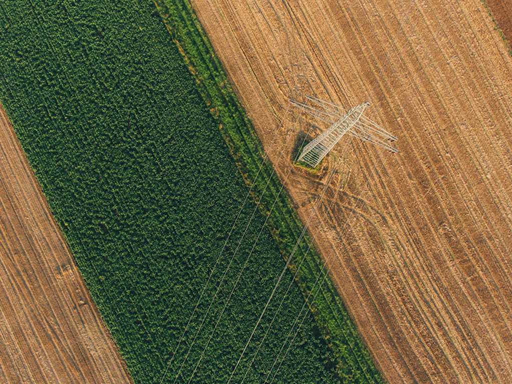
For example, Pléiades satellites deliver imagery with spatial resolutions of up to 50cm as compared to 1.85cm spatial resolution (value from Pix4D calculator) achieved by flying a drone at 100 meters above the ground. Therefore, for an inspection that needs a high level of detail, drones/helicopters are ideal.
Having mentioned Pléiades satellites severally, the video below gives more details about their characteristics.
Data Collection Frequency
According to the United Nations Office for Outer Space Affairs, presently, 7,896 satellites are orbiting the Earth. Some, like Pléiades and SPOT 6/7 have a repeat cycle of 26 days, and also offer a 1 day revisit for any point on Earth on demand. This means that, depending on your needs, you can consistently monitor infrastructure and the surrounding vegetation.
On top of that, during emergencies, archive imagery can be paired withsatellite tasking for more frequent monitoring.
On the flip side, drones and helicopters are impracticable for frequent large-scale monitoring. Aside from being prohibitively expensive, they need flight planning and access permissions beforehand, causing delays.
Satellites, Helicopters, and Drones Use Cases
 Photo by Andrik Langfield on Unsplash
Let us explore four use cases where satellite and drone/ helicopter data are combined in vegetation management.
#1: Site Inspection and Assessment for Work Planning
Vegetation management entails the targeted control and elimination of unwanted vegetation. A work plan details where, when, how, and by whom vegetation control and elimination should be done. It involves:
-
Site inspection to detect, identify and locate the hazardous vegetation
-
Assessing the level of risk
-
Assessing the difficulty of traversing the terrain
-
Assessing the potential impact of weather, etc.
The plan, therefore, takes site factors such as terrain, climate, and vegetation location into consideration.
Satellites provide the frequent coverage needed to inspect the site, assess the risks, and plan accordingly.
Drones/ helicopters come in for specific areas where a closer examination is needed before ground workers are subcontracted or where there are gaps in the existing satellite data. This combination ensures prioritization of maintenance tasks, saving on time and resources.
#2: Identification of the Health and Species of Vegetation in the Right-of-Way
The 'right-of-way' means the strip or corridor of land occupied by and next to the infrastructure.
Identifying how vegetation species vary along the right-of-way and their health is important. Why?
-
To find out locations with species or growth rates that dramatically differ from the normal vegetation. Such areas require one or more spot inspections/prunings between normal pruning cycles
-
To establish the right control methods as they differ depending on the plant species. Non-chemical methods may control some vegetation types. Yet others may only be managed using herbicides
-
To detect plants that may be harmful to the infrastructure, environment, or human health and must therefore be controlled
-
Because poor tree health increases the chances of a tree or its branches breaking under a load of strong wind, snow, or ice and falling onto transmission lines or railways
-
To determine tree species that are risky and should therefore be removed altogether. These include trees that shed their bark, such as the eucalyptus, or those that are extremely brittle, such as the poplar
Satellite imagery is the right tool for large-scale vegetation species identification and health detection. How does this work?
Different vegetation species have unique spectral reflectance properties across different bands. Satellites are equipped with sensors that measure reflectance. The measurements are used to derive vegetation indices. In particular, detecting the red and near-infrared wavelengths is vital for computing the Normalized Difference Vegetation Index (NDVI), an indicator of the state and health of trees.
So, where do drones and helicopters come in? Well, it comes down to scale. Drones/ helicopters are useful for monitoring vegetation health and species on a smaller scale e.g. around a single transmission tower.
Ultimately, knowing where the vegetation is in relation to the utility, its species, and health condition enables an evaluation of its risk to the infrastructure and the surrounding environment.
#3: Computation of Infrastructure Clearance Distances
Vegetation needs to be kept a safe distance away from infrastructure. This is called the clearance distance, and it varies by utility.
Generally, for power lines, the higher the voltage, the greater the clearance distance required. For instance, according to the California Public Resources Code Section 4293, the required clearance of vegetation in all directions is four feet for 2.4-72 Kilovolts lines, six feet for 72-110 Kilovolts lines, and ten feet for 110 Kilovolts lines.
Satellite imagery can be used to accurately measure the horizontal clearance between vegetation and infrastructure—but has limited accuracy in measuring vegetation height.
While elevation models generated from (tri)stereo Pléiades imagery—may be used to roughly estimate vegetation heights, studies have shown that the accuracy of such models cannot compete with LiDAR (Light Detection and Ranging) data.
Thus, to calculate the vertical clearance for vegetation growing below infrastructure, like transmission lines, LiDAR data collected using drones/ helicopters are used.
#4: Conduct Post Treatment Audits
Last but certainly not least is a post-treatment audit to evaluate the effectiveness of vegetation management methods. Audits determine what adjustments, if any, are needed in subsequent vegetation management programs to meet compliance and control objectives.
Satellites show an overview of whether all unwanted vegetation was removed and monitors the amount and rate of regrowth. For hot spots which call for a higher level of detail, drone audits are a great addition.
Satellites, Helicopters, and Drones: Accelerating New Industries
 Photo by Lasse Nystedt on Unsplash
There you have it. Satellites, helicopters, and drones have great individual potential. Blended though, they are more effective at vegetation management.
The use of satellite technologies, in particular, is growing at a break-neck speed, thanks in part to machine learning. Companies such as LiveEO, Overstory, Sync Energy, IBM, and AiDash are already offering vegetation monitoring solutions that leverage satellite data and machine learning algorithms. Given the increasing volume and accuracy of satellite data, there is no doubt we will see new applications soon.
Start building your vegetation management solution today.


