Minimum AOIs
Building solutions for non-industrial agriculture can be prohibitively expensive because of the requirement to purchase minimum land areas to access imagery.
Build intelligent solutions to increase crop yields, effectively manage field use, and save resources in an industrial farming environment.
Building solutions for non-industrial agriculture can be prohibitively expensive because of the requirement to purchase minimum land areas to access imagery.
With a broad range of geospatial data and analytics developed for agriculture, it isn't easy to find data and algorithms that work effectively together.
Many off-the-shelf AgTech products are highly technical and not suitable for end-users, such as farmers, while building solutions based on these closed platforms' data is challenging.
Agriculture
Utilize a wide range of optical, radar, and weather data coupled with agriculture-specific algorithms to optimize farming and land use operations for your users.
Use case spotlight
Regular high-resolution imagery
Either task a satellite for specific date ranges or use the latest archive imagery, filtered by date, cloud cover, and area of your customers' infrastructure.
Statistical indexes and machine learning
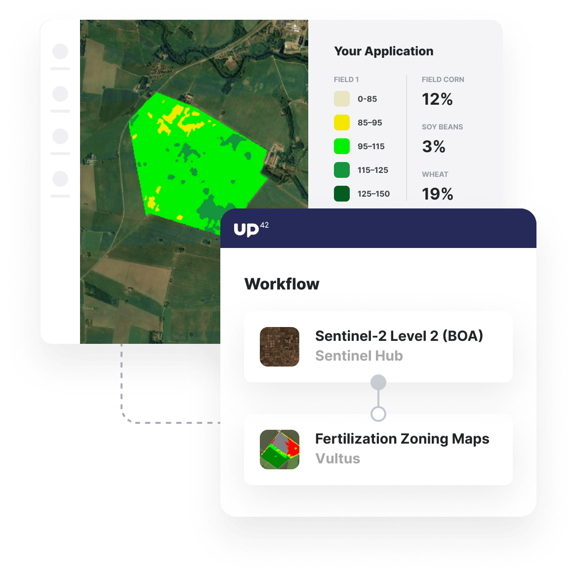
Out-of-the-box pixel analytics and machine-learning algorithms compatible with satellite imagery optimize agriculture processes.
Processing power that scales
Whether you are running workflows for a single farm or a large industrial agriculture complex, our infrastructure will manage the load.
Additional agriculture use cases built with UP42
Marketplace
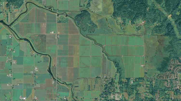
High-resolution aerial, radar, and satellite imagery available with no minimum AOI and global coverage, ensuring you get data that you need.
Enhance image quality, convert input data, or clip raster images into tiles to ensure that your input image is ready for further analysis.
Pick from a range of soil and vegetative indices, zoning algorithms, land cover classification algorithms to get the insights your customers need.
Create an account to order, access, and analyze geospatial data.


