Vast areas of interest
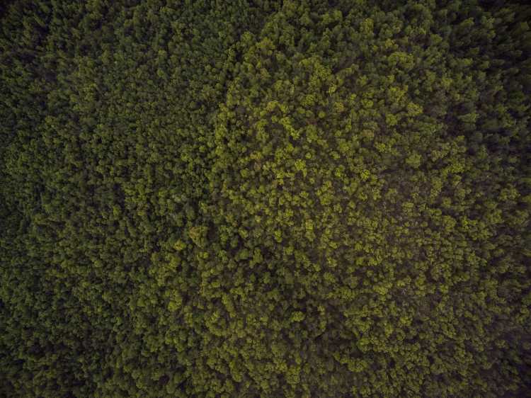
As much as 30% of the Earth's surface is covered by rainforest, which speaks to the sheer volume of imagery, which must be monitored to protect vital environmental resources.
Build solutions that enable your customers to measure the impacts of climate change, monitor destructive activity, and predict geological risks.
As much as 30% of the Earth's surface is covered by rainforest, which speaks to the sheer volume of imagery, which must be monitored to protect vital environmental resources.
From human activity to changing landscapes to meteorological warning signs, projects aiming to protect the natural environment must monitor and combine many data sources.
With an extreme acceleration of unpredictable natural events, it isn't easy to perform accurate historical analysis to inform decisions and make predictions in environmental protection projects.
Environmental Protection
Access optical and radar satellite data alongside weather data and machine-learning algorithms, enabling you to build solutions that monitor the environment and predict extreme events.
Use case spotlight
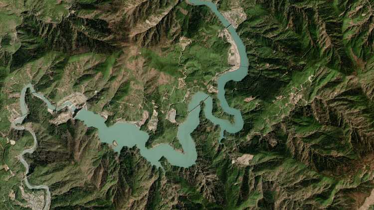
High-resolution satellite imagery
Access a vast library of archive Pleiades imagery and task a satellite at regular intervals, guaranteeing high-quality capture at a low cloud coverage.
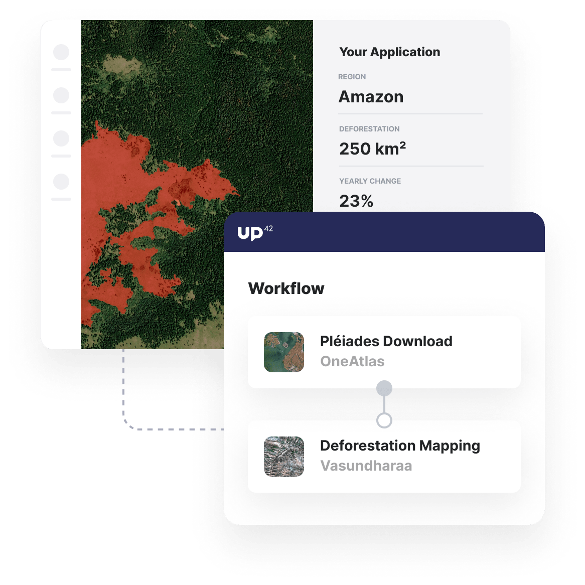
Deforestation mapping
Assess the area of deforestation from one satellite image to another to get ongoing insights into the level of deforestation in your area of interest.
Automate and integrate insights
Use our Python SDK to automate and scale analysis, parallelizing jobs for large AOIs and seamlessly integrating insights into your own tools via API.
Additional environmental protection use cases built with UP42
Marketplace
Access a vast archive of optical and radar satellite imagery, alongside future tasked imagery at up to a 0.5 m resolution.
Utilize 1000 near-real-time weather and Ocean parameters from Meteomatics and time-series data for water bodies from Terra Cover.
Process your data with Raster Tiling and other pre-processing capabilities. Run that analytics-ready data through a range of machine-learning models.
Create an account to order, access, and analyze geospatial data.


