Requirement for regular imagery
To detect change in the area around critical infrastructure, regular image capture is required. Minimum AOIs and expensive data purchasing can make this prohibitively expensive.
Build solutions to remotely manage, monitor, and optimize critical, high-value infrastructure, such as pipelines and utilities.
To detect change in the area around critical infrastructure, regular image capture is required. Minimum AOIs and expensive data purchasing can make this prohibitively expensive.
The use of multiple data types, such as satellite imagery and weather data, enriches infrastructure analysis. Access to disparate data sources can be a challenge.
Much of the analysis of infrastructure imagery is on-demand and interpreted by humans. This lack of automation wastes time and opens up the possibility of human error.
Infrastructure and Utilities
Automate infrastructure analytics on a scalable, reliable platform, utilizing the latest satellite, aerial, and weather data coupled with cutting-edge algorithms.
Use case spotlight
Stereo satellite imagery and DEMs
Either task a satellite for specific date ranges or use the latest archive imagery, filtered by date, cloud cover, and AOI, combined with elevation models.
Change detection processing blocks
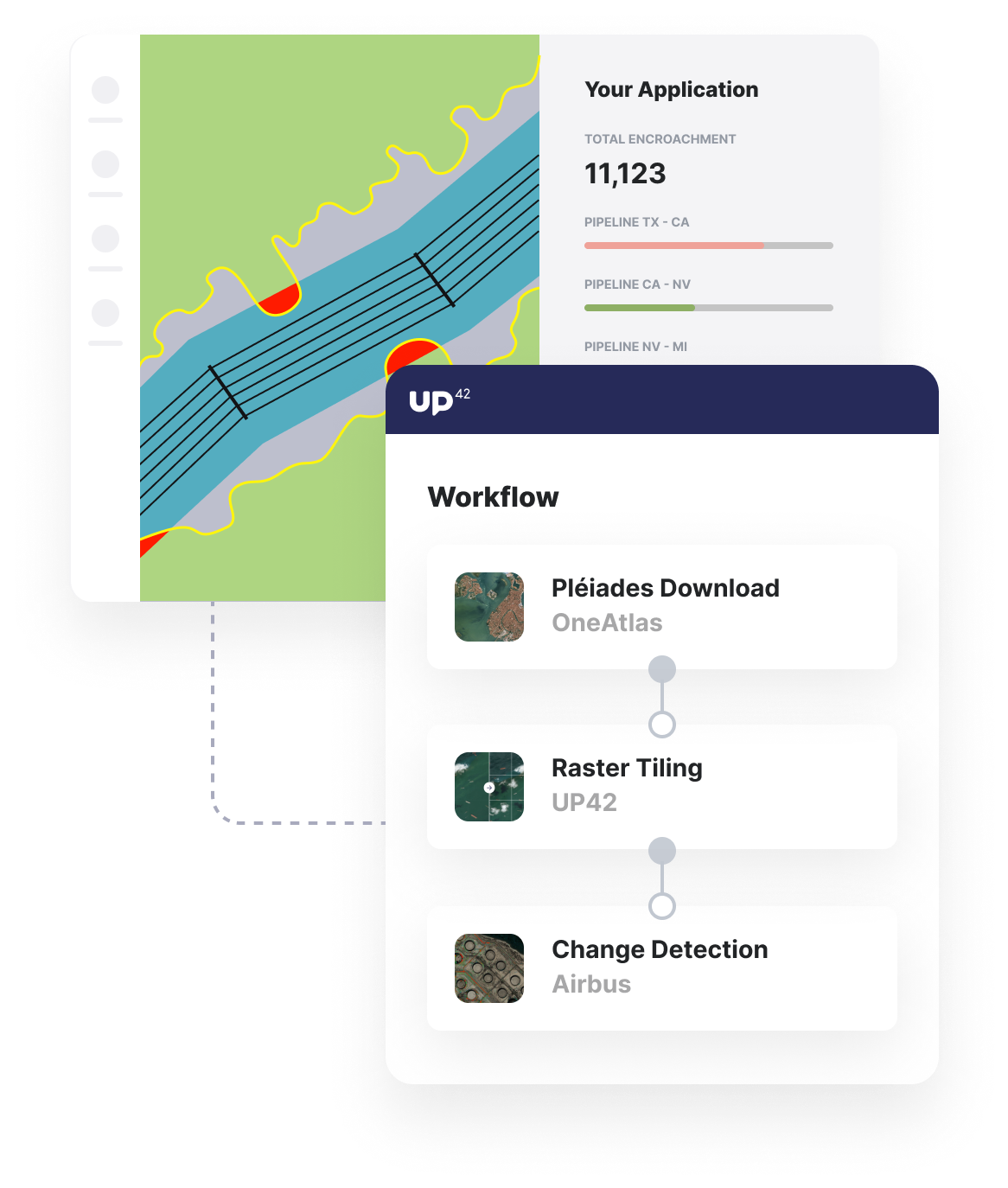
Access change detection and land use algorithms to give your customers the insights they need to monitor and prevent encroachment on their infrastructure.
Trigger regular processing via API
Run your encroachment detection analytics workflows on a regular basis or when new image data becomes available through the powerful UP42 API.
Additional infrastructure use cases built with UP42
Marketplace
Our marketplace offers various open and commercial data sets, from satellite and aerial imagery to weather data.
Enhance image quality, convert input data, or clip raster images into tiles to ensure that your input image is ready for further analysis.
Pick from a range of object identification, area classification, and change detection algorithms to suit your customers' requirements.
Create an account to order, access, and analyze geospatial data.


