Vast data requirements
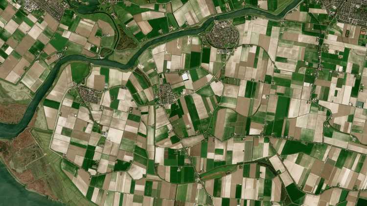
From rainforests to cities, land management generally requires the monitoring of extensive areas. This typically results in compromises to either budget or spatial resolution.
Understand activity in urban, rural, and forest locations to inform and optimize land management decisions that have major impacts on life and the environment.
From rainforests to cities, land management generally requires the monitoring of extensive areas. This typically results in compromises to either budget or spatial resolution.
To effectively monitor and manage land use, from patterns of life in cities to illegal deforestation, frequent image capture is key to making quick, effective decisions.
Manual interpretation of imagery isn't feasible when the areas of interest are hundreds of kilometers. Analytics must be applied to gather insights that are timely and actionable.
Land Use and Management
Apply a range of pre-processing and analytical capabilities to high-resolution commercial or satellite data to build solutions for deforestation mapping, urban planning, and more.
Use case spotlight
High-resolution satellite imagery
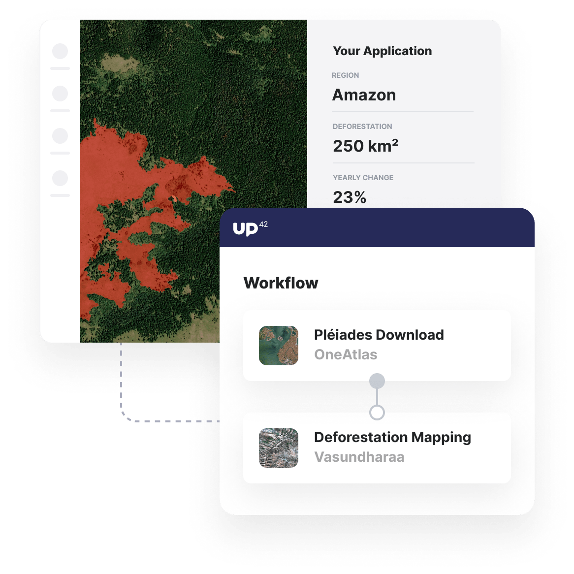
Access a vast library of archive Pleiades imagery and task a satellite at regular intervals, guaranteeing high-quality capture at a low cloud coverage.
Deforestation mapping
Assess the area of deforestation from one satellite image to another to get ongoing insights into the level of deforestation in your area of interest.
Automate and integrate insights
Use our Python SDK to automate and scale analysis, parallelizing jobs for large AOIs and seamlessly integrating insights into your own tools via API.
Additional land use and management use cases built with UP42
Marketplace
Access a range of commercial and open data sets for free or with usage-based pricing to maintain affordability for large AOIs.
Enhance image quality, convert input data, or clip raster images into tiles to ensure that your input image is ready for further analysis.
Automatically map deforestation, detect vehicles or buildings, analyze change, and more with out-of-the-box machine-learning algorithms.
Create an account to order, access, and analyze geospatial data.


