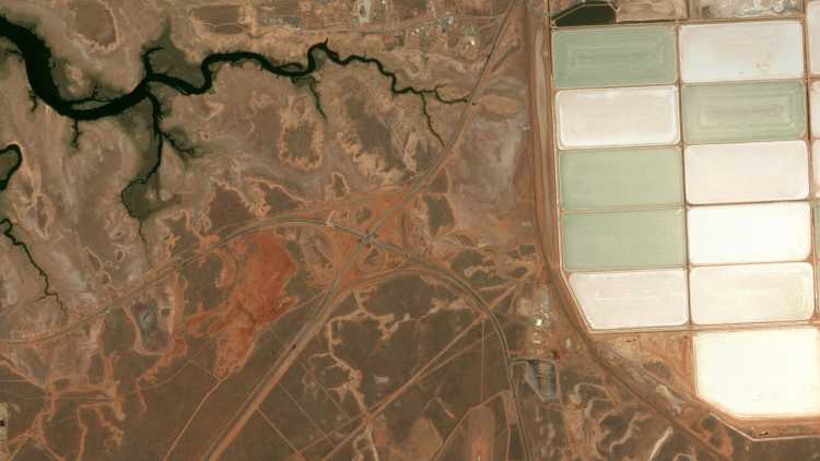
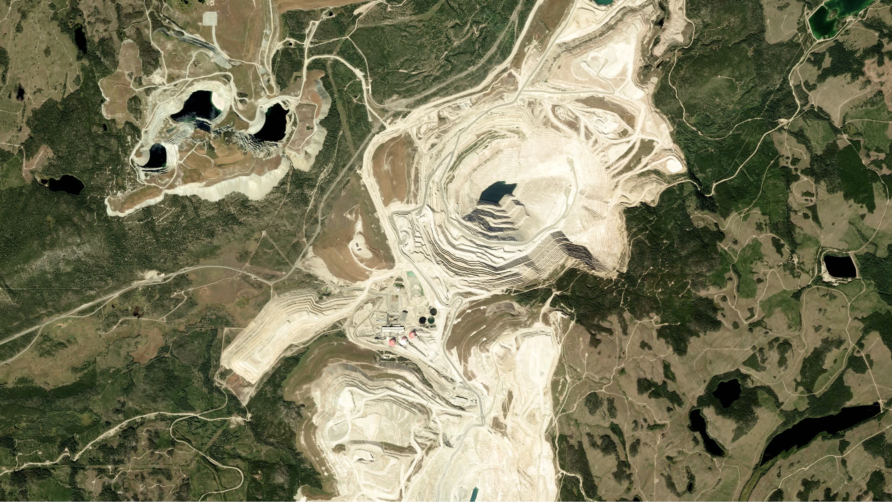
Wide-ranging data types
Pipelines and their successful construction is dependent on staying up to date with a wide range of variables from encroachment to extreme weather to elevation.
From the detection of oil seeps to the efficient construction to monitoring pipelines, UP42 provides the tools you build oil & gas solutions.
Pipelines and their successful construction is dependent on staying up to date with a wide range of variables from encroachment to extreme weather to elevation.
Oil and gas pipeline infrastructure can span countries or even continents. Getting regular, consistent, affordable data for such vast areas is a challenge.
Oil and gas infrastructure failure can have wide-reaching, catastrophic consequences. As a result, end-users of oil and gas geospatial products demand reliability and accuracy.
Oil, Gas, Minerals, and Energy
Combine high-resolution satellite and radar imagery, weather parameters, elevation data, and cutting-edge algorithms to monitor and optimize oil and gas activity on land and sea.
Use case spotlight
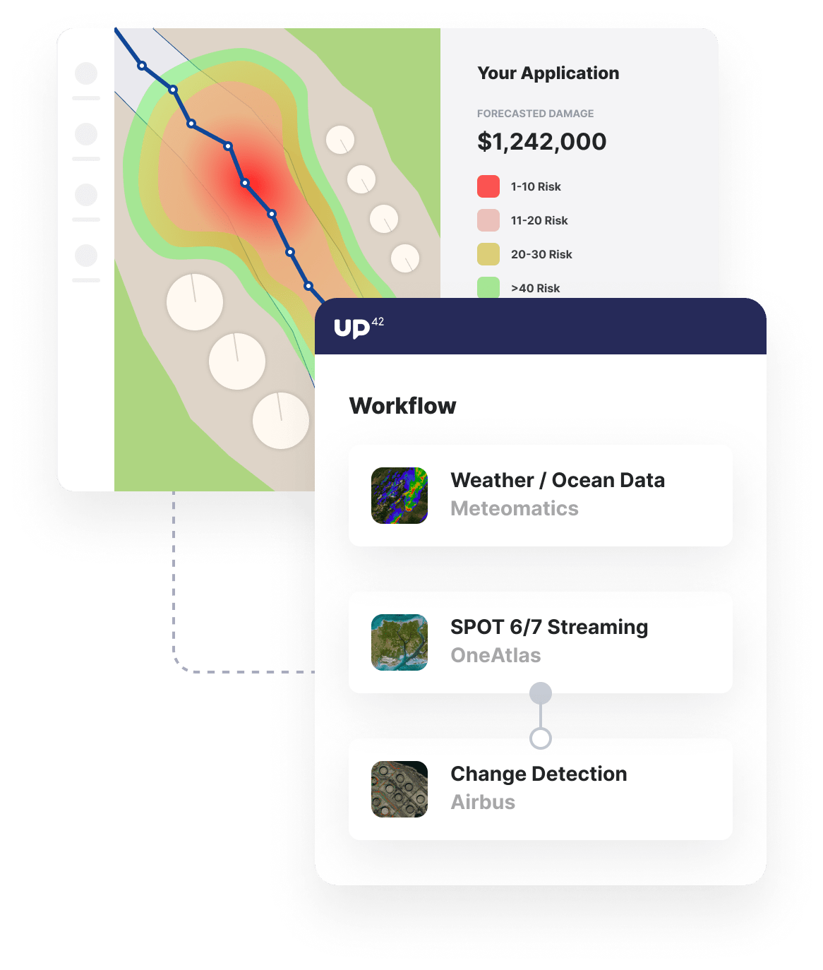
High-resolution imagery and weather data
Monitor assets using high-resolution, high-revisit-rate satellites to provide recent imagery of assets. Augment analysis with 1000 weather parameters.
Change detection and risk prediction
Detect change to areas surrounding pipeline infrastructure and implement alert systems for high-risk weather conditions.
Integrate into pipeline alert systems
Use our toolkit to seamlessly integrate data and processing outputs into existing or new geospatial products and early warning systems.
Additional OGME use cases built with UP42
Marketplace
Our marketplace offers various open and commercial data sets from satellite, radar, and aerial imagery to AIS and ocean data.
Enhance image quality, convert input data, or clip raster images into tiles to ensure that your input image is ready for further analysis.
Process satellite data with change detection and object detection algorithms to monitor change, make recommendations, and forecast risk.
Create an account to order, access, and analyze geospatial data.


