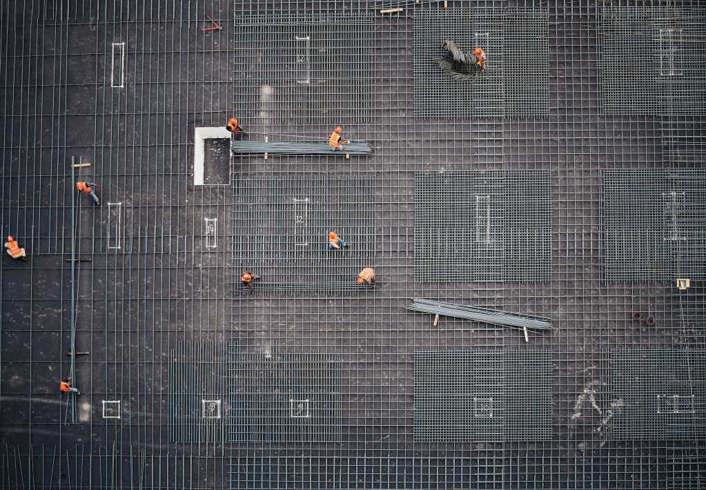
Buildings and infrastructure are, obviously, an essential aspect of our existence here on Earth. Their construction, however, may cause destruction and fragmentation of habitats, land and water contamination, and increased soil erosion, among other negative environmental impacts.
As such, environmental monitoring is important for minimizing and offsetting construction impacts. It also helps to ensure compliance with environmental regulations.
Earth observation sensors are capable of measuring vegetation cover, water quality, soil properties, elevation, and more. They provide critical environmental information for construction projects.
With that in mind, let's see how Earth observation data helps to assess the environmental impact of construction.
What is Earth observation data?
Earth observation (EO) data is information gathered to better understand the Earth. The produced information is essential for understanding, modelling, and predicting natural processes, human activities, and their interaction.
EO data are collected using different techniques, including:
-
In situ sensors: Stationed on the Earth's surface or beneath it, e.g., on weather stations, and marine buoys.
-
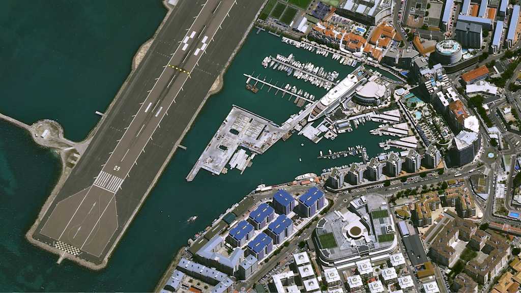
Airborne sensors: Mounted on drones or aeroplanes to provide a closer look at specific areas.
-
Spaceborne sensors: Mounted on satellites to offer an expansive view of the Earth's surface.
Collectively, these methods provide complementary views of the Earth, yielding comprehensive environmental data.
In this article, we'll focus on the use of EO data derived from spaceborne and airborne sensors for environmental impact monitoring.
Environmental impact monitoring vs. compliance
Environmental impact monitoring entails comparing baseline environmental data (i.e., environmental conditions before construction) with present conditions to unveil changes.
Environmental impact monitoring is crucial for environmental compliance, which ensures adherence to regulations aimed at safeguarding our environment. Compliance ascertains whether the observed environmental changes align with standards or policies.
In short, environmental impact monitoring and compliance go hand in hand in facilitating
-
Detection of undesirable or unanticipated environmental changes during construction, and
-
Provision of early warnings to prevent or minimize environmental impacts.
There are various ways in which EO data are useful in monitoring the environmental impacts of construction projects. That's where we turn to next.
How does Earth observation help in monitoring the environmental impact of construction?
Land use, vegetation distribution, temperatures, and topography are examples of environmental data obtained through EO sensors. Their measurement and monitoring depend on the spatial, spectral, and temporal resolution of underlying data.
For instance, drones offer high spatial resolution data but are generally limited to local-scale monitoring. Satellites, on the other hand, regularly cover vast areas.
The value of satellite imagery in environmental monitoring, therefore, is in synoptic and regular coverage of expansive regions. Satellites also enable the identification of hotspot areas where field surveys and sampling may be necessary.
To learn more about the utility of EO data in measuring the environmental impact of construction, let's look at four application areas.
Assess heat loss in buildings
The EU green buildings pact intends to make new and existing buildings more climate-friendly by improving insulation and energy efficiency. According to the EU commission, currently, over 75% of building in the EU are not energy efficient.
A large part of energy efficiency involves mitigating heat loss, which is the amount of heat energy lost from a building's inside through solid material to the outside. Large-scale thermal imaging of city areas through aerial platforms or satellites can help to efficiently identify which old buildings are most in need of rennovations, and if new buildings are compliant with standards.
Find out how SatelliteVu, one of our newest partners, aims to help with their constellation of high resolution satellites.
Assess impacts on biodiversity
Construction activities like site clearance, excavation, and compaction can change drainage patterns, affect vegetation health, and create pollution. Further, the production and processing of construction materials like timber, sand, and rocks can disrupt the natural environment. All these can be detrimental to biodiversity.
According to the Convention on Biological Diversity, "'Biological diversity' means the variability among living organisms from all sources including, inter alia, terrestrial, marine and other aquatic ecosystems and the ecological complexes of which they are part; this includes diversity within species, between species and of ecosystems."
Why is biodiversity conservation important? Because it not only provides essential goods and services–like foods, medicines, carbon sequestration and pollination–it is also essential to sustain life on Earth.
For construction projects, biodiversity monitoring is crucial where:
-
Threatened or endangered species are found on or near the project area
-
Critical habitat areas overlap or are near the project area
EO offers a variety of approaches for biodiversity monitoring during construction.
First, multispectral imagery aids in land cover classification. This help to identify and track vital habitats like forests, grasslands, and wetlands which fall near the project area.
Change monitoring provides an early warning of construction impacts facilitating conservation measures.
Second, EO data can help to monitor changes in environmental variables.
Different species have basic habitat requirements like temperature, topography and precipitation. These variables can be captured remotely using satellites. Complemented with field observations of where a specific species occurs, they can be used to delineate the preferred or potential habitat for a species.
For large construction sites, satellite images can detect construction impacts like land use, vegetation health, and elevation changes. If the preferred habitat for a species is known, the detected variables can then be used to identify their effects on habitats.
Here, the value of satellite images lies in providing a complete picture of the landscape–including areas that may be inaccessible, like adjoining private land. They complement field surveys, particularly for large-scale construction projects, enabling a more comprehensive habitat assessment.
That said, it is important to note that the utility of EO for characterizing and monitoring habitats depends on how well the habitat requirements for a species are understood.
Water quality monitoring
Water resources are essential to both the environment and humans. They provide many services, including drinking water, sanitation, irrigation, and recreation. They are also home to different aquatic plants and animals.
The problem is, they are under threat from pollution. And construction can induce water pollution. How?
Construction sites are characterized by extensive land clearing. Left bare, the soils are prone to erosion caused by surface run-off during rainy seasons. This could lead to sedimentation of adjacent water bodies, reducing their water quality. Other effects include increased flooding risks, loss of soil nutrients and altered aquatic habitats.
Additionally, pollutants, like fuel, lubricants, cement, and sewage, can be washed into adjacent water bodies, further polluting them.
Considering these threats, regular water quality monitoring during construction is vital to protect water bodies and ensure compliance with national and international regulations like the US Clean Water Act.
Furthermore, monitoring is crucial for the achievement of the United Nations Sustainable Development Goal 6 which emphasizes the need to "ensure availability and sustainable management of water and sanitation for all".
Earth observation data can help in water quality monitoring. Here's how.
Water quality variables (e.g., chlorophyll-a and turbidity) interact uniquely with different bands of the electromagnetic spectrum. This enables the detection of various water quality parameters using multispectral and hyperspectral imagery.
For instance, absorption characteristics in Sentinel-2 narrow red-edge bands have been found useful for chlorophyll-a measurement, while near-infrared (NIR) bands have proved useful for water clarity variables of turbidity and total suspended solids (TSS).
Further, satellite imagery enables the extraction of historical water quality information, providing a baseline for monitoring.
That said, it's crucial to recognize the limits of remote sensing.
First, some water quality variables required by environmental regulations are not measurable using remote sensing. For example, identifying the composition of suspended particles necessitates ground-based water quality sampling methods.
Second, the spectral, spatial and temporal resolution of satellite imagery may limit the applicability of satellite imagery for water quality monitoring.
For instance, water quality monitoring using moderate spatial resolution images is more viable for coastal waters and large inland water bodies rather than for small water bodies.
Such images can thus be helpful for expansive construction projects near large water bodies. They could complement ground-based water quality sampling by filling in information gaps where in situ monitors are absent.
Ultimately, EO data facilitates early detection of water pollution. The resulting insights are useful for identifying big-picture changes that warrant further investigation through field sampling or drone investigation.
Monitor impacts caused by materials extraction
Materials like gravel, hard stone, and sand are essential in construction. Their mining, however, can have adverse environmental impacts. These include deforestation, soil erosion, and water pollution.
Given the importance of ensuring sustainable development, EO data can provide critical information on the environmental impact of quarry sites.
For example,
-
Synthetic aperture radar (SAR) imagery can track slope stability at large mining sites. This would help to detect potential landslides to protect mine workers and the surrounding community. Check out our available data from SAR providers on UP42.
-
Multispectral and hyperspectral imagery can help to detect changes in vegetation cover and health near the quarry.
-
SAR and stereo imagery-derived elevation models are useful for tracking elevation changes. This is key for identifying alterations in drainage patterns to mitigate water pollution or flooding.
EO data are useful during quarry restoration, too. Once the material sites are exhausted or the works completed, the contractor is usually expected to rehabilitate the quarry sites. Here, EO data can facilitate quarry restoration to its original state by tracking the mining site's topographic, vegetation, and hydrological conditions before and after construction. Find out how satellite data can help to mitigate the impact of mining.
Complementary, not standalone
Finally, it is important to note that many geospatial data are essentially proxies of more complex phenomena (e.g., poverty, environmental degradation) of interest. Therefore, geospatial analysis is not a substitute for but rather a complement to on-the-ground (qualitative) data collection and analysis, with the latter still vital for strengthening the validity of findings.
Today, we're facing constant wakeup calls about the danger posed to our environments. We need to use every tool at our disposal to face these changes, so EO data needs to be part of our toolbox.


