Introduction
Engineering companies face many challenges throughout the planning and feasibility stages of large construction projects. These include high-level commercial and technical issues such as project scope, budget, and complex end customer requirements. Data acquisition is a critical aspect of the planning stage, but it comes with its own set of difficulties, such as the needs for imagery in urban areas with drone/aircraft flying restrictions, for very high-resolution imagery to create accurate 3D models, and a lack of open data in remote/developing areas.
To overcome these challenges, engineering and construction companies often turn to multiple geospatial data providers for different parts of the workflow. However, this can be time-consuming and cumbersome. UP42 streamlines the process of acquiring the imagery required for advanced GIS solutions by providing access to top remote sensing datasets in a single place.
In this blog post, we provide a real-world example of how you can easily acquire geospatial data for site investigation and monitoring through the UP42 platform.
Accessing UP42
First off, UP42 provides a unique solution to the data acquisition problem: access to data and analytics from the world's top providers through a single touchpoint. Our customers come from a diverse range of industries and use cases, spanning the globe. We’re proud to work with some of the largest engineering companies in the world, helping them overcome data access and acquisition challenges and improve their project workflows.
We understand that complex projects with longer life cycles require flexibility when it comes to data ordering. To meet this need, we offer a credit-based pricing model that allows customers to purchase and spend credit packs based on their specific requirements. Credits are used as currency for ordering imagery through UP42 and are valid for two years from the date of purchase. Signing up for our Professional plan provides up to 10,000 free credits to start ordering imagery immediately, with 100 credits equaling €1. This means that you can explore and purchase data on the UP42 platform at no cost before committing to larger orders.
Ordering data through UP42 is simple and convenient, and we offer three different options depending on your current remote sensing data workflows. You can access our console through your browser, order through our API/Python SDK ecosystem, or order directly from ArcGIS Pro through the UP42 add-in.
 Order imagery through our easy-to-use console
 Access our developer ecosystem through API and Python SDK
 Order UP42 data directly from ArcGIS Pro through the UP42 add-in
Ordering imagery through the UP42 data platform
Let's consider an engineering firm that has recently secured a contract to replace an outdated bridge in a busy metropolitan area. In the planning phase, access to geospatial imagery is crucial for conducting site investigation and generating accurate 3D representations of the project site. The UP42 data platform allows you to easily upload your AOI, and search for archive imagery that fits your requirements.

You can search and order archive imagery from the world’s leading geospatial providers. If the available archive imagery doesn’t cover your needs, you can use UP42 tasking to place orders for new imagery for any specific future dates and technical specifications.
To create a 3D model of the project site, you can pick and choose from our collection of elevation datasets from Airbus, Intermap, Hexagon, and more. As explained above, the buying process is simple and transparent, letting you use credits to place orders through UP42.

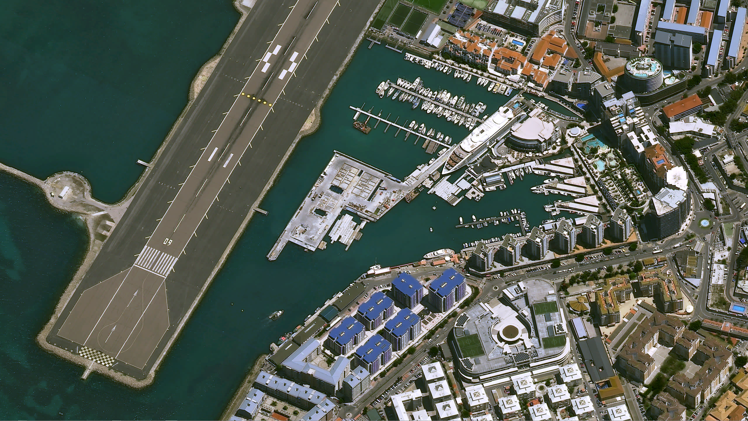
To find out the present site conditions around the bridge and building planimetrics, the optimal option is to go for a very high resolution archive collection. After searching the available archive collections that cover our AOI, we find a suitable Pléiades Neo image to evaluate current site conditions. With 30 cm native resolution offering higher precision and insights, Pléiades Neo is one of our most popular datasets.

Once you place an order using credits, your orders and downloaded imagery can be found in UP42 storage within the console.
 Access the downloaded imagery through UP42 storage
Processing with the Super Resolution algorithm
At this point, we have successfully downloaded a 30 cm resolution Pléiades Neo image of our project site. We can integrate this image into our existing data pipelines for further analysis around project site investigation. But often for construction projects, we see that customers go for aerial imagery because of the need for an even higher spatial resolution. By working with our partner Nara Space, UP42 offers a processing algorithm that lets you enhance the visual quality of Pléiades Neo imagery. The algorithm improves the spatial resolution of downloaded Pléiades Neo imagery from 30 cm to 10 cm.
 An image of a parking lot, before and after the Nara Space algorithm is applied
In order to add the processing algorithm, you need to navigate to the Projects section within the console, and create a new workflow.

Then you can use the Processing from Storage block to add the Pléiades Neo image to your workflow. Subsequently, add the Nara Space Super Resolution block and run the workflow. Please refer to this section for a detailed walkthrough on creating workflows using downloaded imagery.

Results
 Pléiades Neo image with 10 cm resolution
As the final output after running the Super Resolution algorithm, we get a higher quality image of the bridge at around 10 cm spatial resolution. The resolution is detailed enough to detect individual elements, like vehicles and trees in and around the bridge. The process described above offers a faster, easier alternative to the traditional methods involved in acquiring remote sensing imagery for such projects.
Our product capabilities ensure that you can do much more at this point. If you’re already using ArcGIS Pro, you can access your downloaded imagery through the UP42 ArcGIS Pro Add-in. You can add the imagery to your existing basemaps, or share it with other stakeholders using ArcGIS Online. If you would like to find out more about using UP42 for engineering and construction projects, you can visit our dedicated page or get in touch with us directly.


